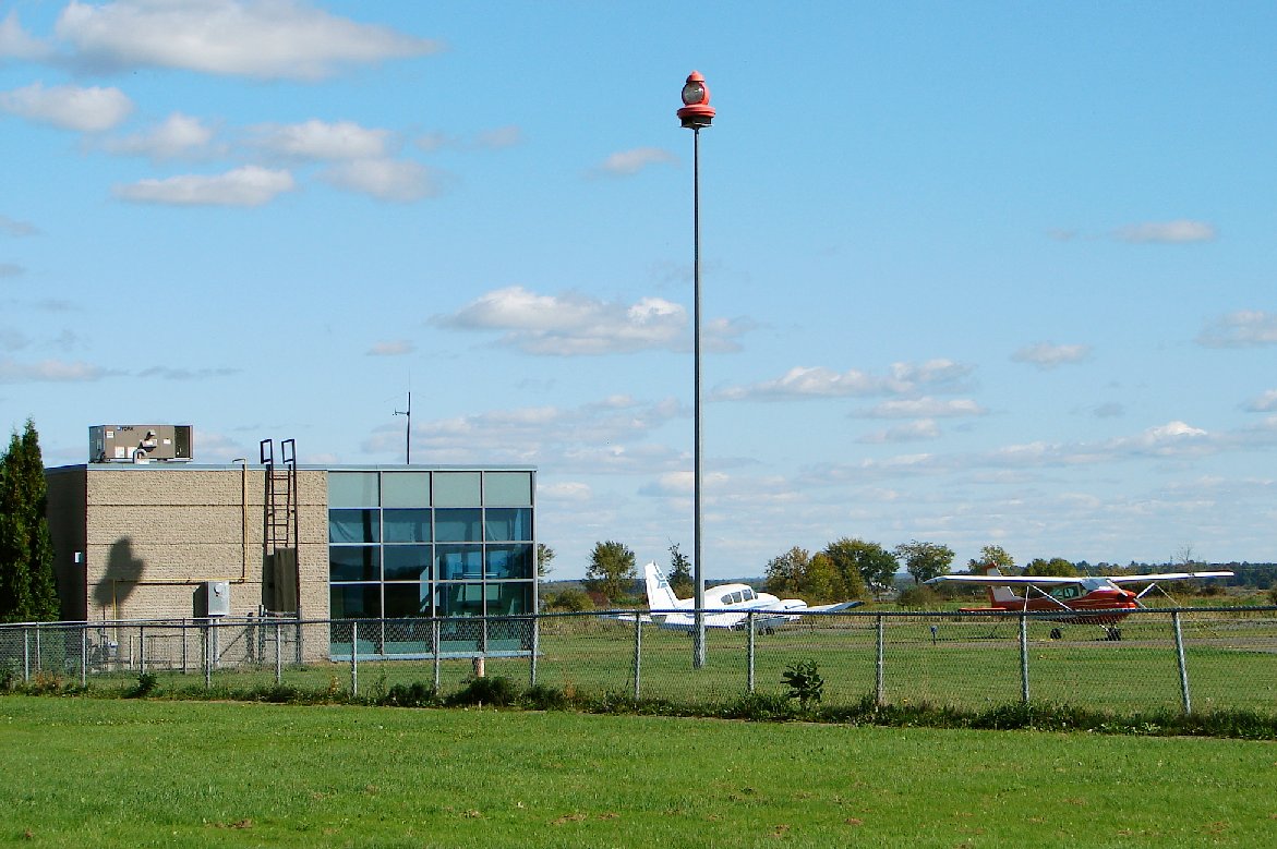
Arnprior Airport, (TC LID: CNP3),(or Arnprior/South Renfrew Municipal Airport) is a registered aerodromelocated 0.9 nautical miles (1.7 km; 1.0 mi) south of the town of Arnprior, Ontario, Canada directly behind Arnprior Aerospace Inc. (formerly Boeing Canada Technology).
The aerodrome serves chiefly general aviation traffic, including private pilots, MEDEVAC, Ontario Hydro, and the Ontario Provincial Police. The Canadian Forces also use the aerodrome.
Arnprior Airport
Arnprior/South Renfrew Municipal Airport
IATA: none
ICAO: none
TC LID: CNP3
Summary
Airport type
Public
Operator
Arnprior Airport Commission
Location
Arnprior, Ontario
Time zone
EST (UTC−05:00)
• Summer (DST)
EDT (UTC−04:00)
Elevation AMSL
355 ft / 108 m
Coordinates
45°24′50″N 76°21′57″W
Website
arnprior.ca/live/transportation/airport/
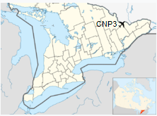
Map
CNP3
Location in Southern Ontario
Runways
Direction
Length
Surface
ft
m
10/28
3,937
1,200
Asphalt
16/34
2,360
719
Gravel
History
During World War II, the airport hosted No. 3 Flying Instructor School for the British Commonwealth Air Training Plan. Arnprior/South Renfrew Municipal Airport was the original location of the National Research Council of Canada Flight Research Laboratory until 1954 when it moved to its current location at the Ottawa International Airport in Ottawa.
Currently
The Arnprior Airport is currently home to Chapman Aviation which provides flight instruction, sightseeing and charter services. Chapman Aircraft Service also provides aircraft maintenance services.
Second Sunday in March
at 0200 to first Sunday in November at 0200 local time (Exception
Arizona and that portion of Indiana in the Eastern Time Zone)
Communications
CTAF/UNICOM UNICOM opr ltd hr.
122.7
OTTAWA TRML
124.275
135.15
247.0
252.5
Communications Remarks
A/D
(135.15 247.0 APP)
(124.275 252.5 DEP)
Runways
ID
Dimensions
Surface
PCN
ILS
04/22
CLOSED
2600 x 150 feet
792 x 46 meters
ASPHALT
-
NO
10/28
3955 x 75 feet
1205 x 23 meters
ASPHALT
-
NO
16/34
2500 x 50 feet
762 x 15 meters
GRAVEL.
-
NO
Navaids
Type
ID
Name
Channel
Freq
Distance From Field
Bearing From Navaid
VORTAC
YOW
OTTAWA
093X
114.6
19.9 NM
279.3
Supplies/Equipment
Fuel
Jet A1, without icing
nhibitor.
80/87 octane gasoline, leaded, MIL-L-5572F (RED)
100/130 MIL Spec, low lead, aviation gasoline (BLUE)
Remarks
CAUTION
PJE at afld to 12,500'
by NOTAM.
FUEL
(NC-80, 100LL, A1)
LGT
ACTIVATE-LIRL Rwy 10-28-CTAF.
MISC
200' thld Rwy 16-34
asphalt. Rwy 16-34 no win maint.
RSTD
Rwy 16-34 proh for
acft over 10,000 lb GWT.
The content above was published at Airports-Worldwide.com in 2018.
We don't guarantee the information is fresh and accurate. The data may be wrong or outdated.
For more up-to-date information please refer to other sources.