 |
|
Makkovik Airport (IATA: YMN, ICAO: CYFT) is 0.5 nautical miles (0.93 km; 0.58 mi) west of Makkovik, Newfoundland and Labrador, Canada.
|
Makkovik Airport |
- IATA: YMN
- ICAO: CYFT
- WMO: 71596
|
| Summary |
| Airport type |
Public |
| Operator |
Government of Newfoundland and Labrador |
| Location |
Makkovik, Newfoundland and Labrador |
| Time zone |
AST (UTC−04:00) |
| • Summer (DST) |
ADT (UTC−03:00) |
| Elevation AMSL |
231 ft / 70 m |
| Coordinates |
55°04′38″N
059°11′16″W |
| Map |
|
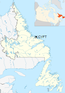
Location in Newfoundland and Labrador
|
| Runways |
| Direction |
Length |
Surface |
| ft |
m |
09/27 |
2,592 |
790 |
Gravel |
|
|
Sources: Canada Flight Supplement
Environment Canada |
Airlines and destinations
| Airlines |
Destinations |
| Air Labrador |
Goose Bay, Hopedale, Nain, Natuashish, Postville, Rigolet |
| PAL Airlines |
Goose Bay, Hopedale, Nain, Natuashish, Postville, Rigolet |
The above content comes from Wikipedia and is published under free licenses – click here to read more.
The content above was published at Airports-Worldwide.com in 2019.
We don't guarantee the information is fresh and accurate. The data may
be wrong or outdated.
For more up-to-date information please refer to other sources.
|
|


