 |
|
Upper Kent Aerodrome (TC LID: CCH2), is a small airfield located 1.1 nautical miles (2.0 km; 1.3 mi) north northwest of Upper Kent, New Brunswick, Canada.
|
Upper Kent Aerodrome |
- IATA: none
- ICAO: none
- TC LID: CCH2
|
| Summary |
| Airport type |
Public |
| Operator |
Bruce Lockhart |
| Location |
Upper Kent, New Brunswick |
| Time zone |
AST (UTC−04:00) |
| • Summer (DST) |
ADT (UTC−03:00) |
| Elevation AMSL |
246 ft / 75 m |
| Coordinates |
46°35′15″N
067°43′09″W |
| Map |
|
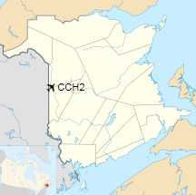
Location in New Brunswick
|
| Runways |
| Direction |
Length |
Surface |
| ft |
m |
01/19 |
1,400 |
427 |
Turf |
|
|
Source: Canada Flight Supplement |
The above content comes from Wikipedia and is published under free licenses – click here to read more.
The content above was published at Airports-Worldwide.com in 2019.
We don't guarantee the information is fresh and accurate. The data may
be wrong or outdated.
For more up-to-date information please refer to other sources.
|
|


