 |
|
Winnipeg/Lyncrest Airport |
Winnipeg/Lyncrest Airport, (TC LID: CJL5), is a general aviation airfield located approximately 13 kilometres (8.1 mi) south-east from the center of Winnipeg. The airstrip was built in the 1950s for private use, then the land was sold to the City of Winnipeg and leased by a flying club, which purchased the 180 acre site from the city in 1996.
|
Winnipeg/Lyncrest Airport. |
The airfield is used by Shock Trauma Air Rescue Society (STARS) helicopters delivering patients to the nearby St. Boniface and Concordia hospitals.
| Winnipeg/Lyncrest Airport |
- IATA: none
- ICAO: none
- TC LID: CJL5
|
| Summary |
| Airport type |
Public |
| Operator |
Springfield Flying Club |
| Location |
R.M. of Springfield, near Winnipeg, Manitoba |
| Time zone |
CST (UTC-06:00) |
| Summer (DST) |
CDT (UTC-05:00) |
| Elevation AMSL |
775 ft / 236 m |
| Coordinates |
49°51′09″N
096°58′25″W |
| Map |
|
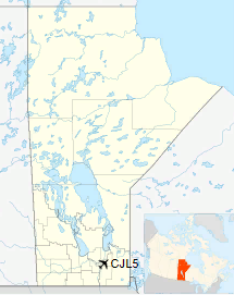
CJL5 (Manitoba)
|
| Runways |
| Direction |
Length |
Surface |
| ft |
m |
09/27 |
3,000 |
914 |
Turf |
17/35 |
2,500 |
762 |
Turf |
|
|
Source: Canada Flight Supplement |
The above content comes from Wikipedia and is published under free licenses – click here to read more.
The content above was published at Airports-Worldwide.com in 2018.
We don't guarantee the information is fresh and accurate. The data may
be wrong or outdated.
For more up-to-date information please refer to other sources.
|
|


