 |
|
Indus/Winters Aire Park Airport |
Indus/Winters Aire Park Airport, (TC LID: CFY4), is located 1 nautical mile (1.9 km; 1.2 mi) southwest of Indus, Alberta, Canada.
| Indus/Winters Aire Park Airport |
- IATA: none
- ICAO: none
- TC LID: CFY4
|
| Summary |
| Airport type |
Private |
| Operator |
Blue Yonder Aviation |
| Location |
Rocky View County, near Indus, Alberta |
| Time zone |
MST (UTC-07:00) |
| Summer (DST) |
MDT (UTC-06:00) |
| Elevation AMSL |
3,370 ft / 1,027 m |
| Coordinates |
50°54′10″N
113°47′45″W |
| Map |
|
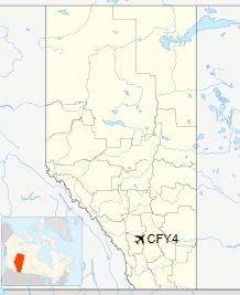
Location in Alberta
|
| Runways |
| Direction |
Length |
Surface |
| ft |
m |
09/27 |
2,600 |
792 |
Turf |
16/34 |
2,600 |
792 |
Turf |
|
The above content comes from Wikipedia and is published under free licenses – click here to read more.
The content above was published at Airports-Worldwide.com in 2018.
We don't guarantee the information is fresh and accurate. The data may
be wrong or outdated.
For more up-to-date information please refer to other sources.
|
|


