 |
|
Doig Airport, (TC LID: CFX3), is a remote forest fire suppression airfield located in northwestern Alberta, Canada. The name Doig is just the name of the airfield location, named for the Doig River, there is no community with that name.
The airfield is located on the Halveston Ridge of the Clear Hills, north of the Doig River.
| Doig Airport |
- IATA: none
- ICAO: none
- TC LID: CFX3
|
| Summary |
| Airport type |
Public |
| Operator |
Agriculture and Forestry, Forestry Division, Peace River |
| Location |
Clear Hills County, Alberta |
| Time zone |
MST (UTC-07:00) |
| Summer (DST) |
MDT (UTC-06:00) |
| Elevation AMSL |
3,500 ft / 1,067 m |
| Coordinates |
56°57′N
119°31′W |
| Map |
|
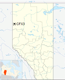
Location in Alberta
|
| Runways |
| Direction |
Length |
Surface |
| ft |
m |
10/28 |
3,000 |
914 |
Turf |
|
The above content comes from Wikipedia and is published under free licenses – click here to read more.
The content above was published at Airports-Worldwide.com in 2018.
We don't guarantee the information is fresh and accurate. The data may
be wrong or outdated.
For more up-to-date information please refer to other sources.
|
|


