|
|
Campo de Marte Airport
Aeroporto Campo de Marte |
 |
| IATA: none – ICAO: SBMT |
| Summary |
| Airport type |
Public/Military |
| Operator |
Infraero |
| Serves |
São Paulo |
| Elevation AMSL |
722 m / 2,368 ft |
| Coordinates |
23°30′32″S 46°38′15″W / 23.50889°S 46.6375°W / -23.50889; -46.6375 |
| Website |
Infraero SBMT |
| Runways |
| Direction |
Length |
Surface |
| m |
ft |
| 12/30 |
1,600 |
5,250 |
Asphalt |
| Statistics (2009) |
| Passengers |
312,460 |
| Aircraft Operations |
104,502 |
| Metric tonnes of cargo |
0 |
Statistics: Infraero
Sources: Airport Website |
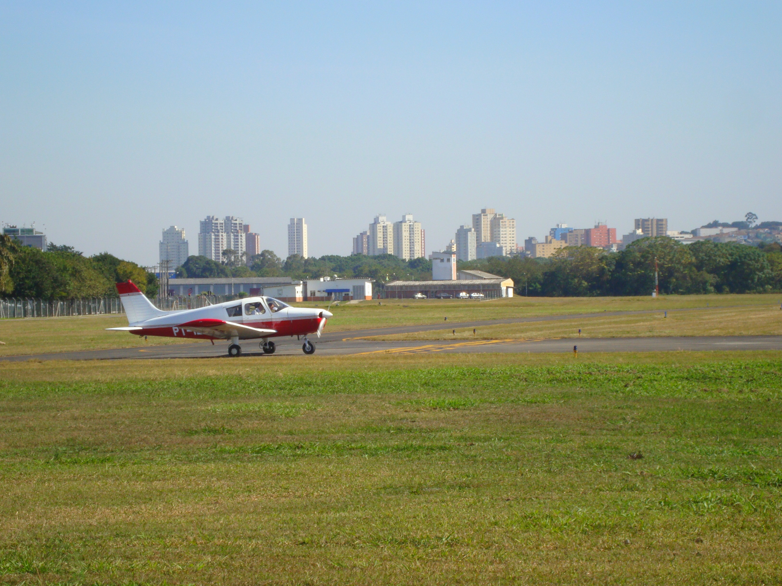
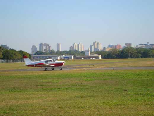
Campo de Marte Airport (Mars Field Airport) (IATA: N/A, ICAO: SBMT) (see Campus Martius) was São Paulo's first airport, situated 6 km north of the city center in Santana district. It opened in 1919. To fulfill the unexpectedly growing demands, and solve the problem of flooding by nearby Tietê River, VASP airline, once based there, was transferred in 1936 to a new airport constructed by that company at the south end of the city: Congonhas Airport was initially known as "Campo da VASP" (VASP's field). Currently, Campo de Marte is administered by Infraero.
In 2008, the airport handled 102,088 aircraft movements and 269,498 passengers, placing it 5th busiest airport in Brazil in terms of aircraft movements.
It houses flight schools, helicopters and non-regular flights. It has limited night operations capability, usually reserved to helicopters. Airlines and destinations
Currently, no scheduled flights operate to and from this airport.
Accidents and incidents
- 26 November 1962: Vasp, a Saab Scandia 90A-1 registration PP-SRA, en route from São Paulo - Congonhas to Rio de Janeiro-Santos Dumont collided in the air over the Municipality of Paraibuna, State of São Paulo with a private Cessna 310 registration PT-BRQ en route from Rio de Janeiro-Santos Dumont to Campo de Marte Airport. Both were flying on the same airway AB-6 in opposite directions and failed to have visual contact. The aircrafts crashed killing all 23 passengers and crew of the Saab and 4 occupants of the Cessna.
The above content comes from Wikipedia and is published under free licenses – click here to read more.
| General Info
|
| Country |
Brazil
|
| ICAO ID |
SBMT
|
| Time |
UTC-3(-2DT)
|
| Latitude |
-23.509119
23° 30' 32.83" S
|
| Longitude |
-46.637753
046° 38' 15.91" W
|
| Elevation |
2368 feet
722 meters
|
| Type |
Joint (Civil and Military)
|
| Magnetic Variation |
020° W (01/06)
|
| Beacon |
Yes
|
| Operating Agency |
MILITARY - CIVIL JOINT USE AIRPORT
|
| Near City |
Sao Paulo
|
| Operating Hours |
SEE REMARKS FOR OPERATING HOURS OR COMMUNICATIONS FOR POSSIBLE HOURS
|
| Communications
|
| TWR |
118.7
|
OPS
Opr SR-SS.
|
122.5
|
GND
Opr SR-SS.
|
121.6
|
| SAO PAULO APP |
119.8
120.05
129.5
Sctr1-134.9 Sctr2-133.85 Sctr3-119.6 Sctr4-129.75 Sctr5-120.05 Sctr6-125.6
|
| Runways
|
| ID |
Dimensions |
Surface |
PCN |
ILS
|
| 12/30 |
5250 x 148 feet
1600 x 45 meters |
ASPHALT |
013FCYU |
NO
|
| Navaids
|
| Type |
ID |
Name |
Channel |
Freq |
Distance From Field |
Bearing From Navaid
|
| NDB |
MAE |
MARTE |
- |
260 |
At Field |
-
|
| Supplies/Equipment
|
| Fuel |
Jet A1, without icing nhibitor.
115/145 octane gasoline, leaded, MIL-L-5572F (PURPLE)
100/130 octane gasoline, leaded, MIL-L-5572F (GREEN)
|
| Remarks
|
| CAUTION |
Flt trng in vcnty arpt. Bird haz.
|
| FUEL |
Avbl Mil 0800-2200Z++. (NC-100, 115, A1)
|
| LGT |
Rot Bcn opr 0800-0100Z++. PAPI Rwy 30 MEHT 51'.
|
| MISC |
Flt pln acpt by phone.
|
| OPR HOURS |
Opr 0900-0200Z++.
|
| RSTD |
TD 4096 Code, Modes A and C rqr for acft opr within 25 NM of CGO VOR. First 984'of Rwy 12 clsd to ldg; last 984' of Rwy 30 clsd to tkof due to obst on thld Rwy12.
|
The content above was published at Airports-Worldwide.com in 2010.
We don't guarantee the information is fresh and accurate. The data may be wrong or outdated.
For more up-to-date information please refer to other sources.
|
|