|
|
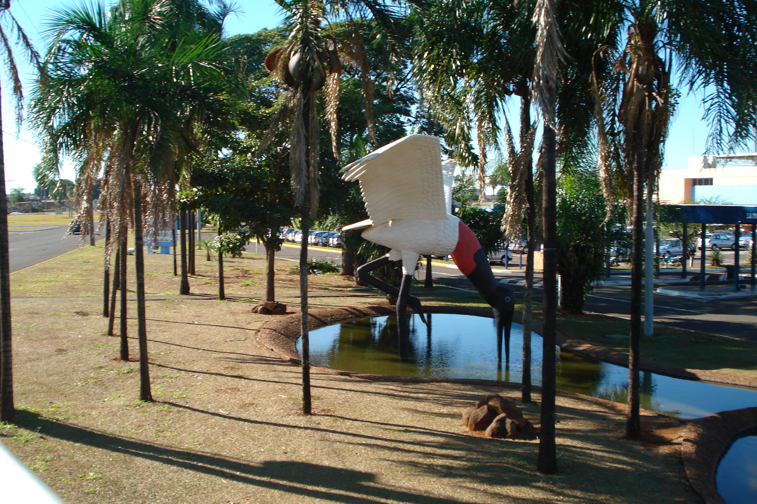
Campo Grande International Airport
Aeroporto Internacional de Campo Grande |
 |
| IATA: CGR – ICAO: SBCG |
| Summary |
| Airport type |
Public/Military |
| Operator |
Infraero |
| Serves |
Campo Grande |
| Elevation AMSL |
599 m / 1,833 ft |
| Coordinates |
20°28′07″S 054°40′21″W / 20.46861°S 54.6725°W / -20.46861; -54.6725 |
| Website |
Infraero CGR |
| Runways |
| Direction |
Length |
Surface |
| m |
ft |
| 06/24 |
2,600 |
8,530 |
Asphalt |
| Statistics (2009) |
| Passengers |
1,028,643 |
| Aircraft Operations |
28,152 |
| Metric tonnes of cargo |
4,326 |
Statistics: Infraero
Sources: Airport Website |
Campo Grande International Airport (IATA: CGR, ICAO: SBCG), is a public international airport that serves and is located in Campo Grande, Mato Grosso do Sul, Brazil. It is also a military airport; this part of the airport is known as Campo Grande Air Force Base. Airlines and destinations
| Airlines |
Destinations |
| Avianca Brazil |
Cuiabá, Curitiba-Afonso Pena, Porto Alegre, São Paulo-Guarulhos |
| Azul Brazilian Airlines |
Campinas-Viracopos |
| Gol Airlines |
Brasília, Belo Horizonte-Confins, Cuiabá, Curitiba-Afonso Pena, Manaus, Porto Alegre, Porto Velho, Santa Cruz de la Sierra-Viru Viru, São Paulo-Congonhas, São Paulo-Guarulhos |
| TAM Airlines |
Boa Vista, Brasília, Cuiabá, Goiânia, Londrina, Manaus, Rio de Janeiro-Santos Dumont, São Paulo-Congonhas, São Paulo-Guarulhos |
| TRIP |
Bonito, Cascavel, Corumbá, Cuiabá, Curitiba-Afonso Pena, Dourados, Foz do Iguaçu, Londrina, Maringá, Porto Alegre, Rio de Janeiro-Santos Dumont, São José do Rio Preto |
The above content comes from Wikipedia and is published under free licenses – click here to read more.
| General Info
|
| Country |
Brazil
|
| ICAO ID |
SBCG
|
| Time |
UTC-4(-3DT)
|
| Latitude |
-20.468667
20° 28' 07.20" S
|
| Longitude |
-54.672500
054° 40' 21.00" W
|
| Elevation |
1833 feet
559 meters
|
| Type |
Joint (Civil and Military)
|
| Magnetic Variation |
015° W (01/06)
|
| Beacon |
Yes
|
| Operating Agency |
MILITARY - CIVIL JOINT USE AIRPORT
|
| Operating Hours |
24 HOUR OPERATIONS
|
| International Clearance Status |
Airport of Entry
|
| Communications
|
| TWR |
118.1
|
| OPS |
122.5
|
| GND |
121.9
|
| APP |
120.2
|
| Runways
|
| ID |
Dimensions |
Surface |
PCN |
ILS
|
| 06/24 |
8530 x 141 feet
2600 x 43 meters |
ASPHALT |
048FBXT |
YES
|
| Navaids
|
| Type |
ID |
Name |
Channel |
Freq |
Distance From Field |
Bearing From Navaid
|
| VOR-DME |
CGR |
CAMPO GRANDE |
104X |
115.7 |
At Field |
-
|
| NDB |
PP |
MARACA |
- |
215 |
4.3 NM |
229.1
|
| Supplies/Equipment
|
| Fuel |
Jet A1, without icing nhibitor.
100/130 octane gasoline, leaded, MIL-L-5572F (GREEN)
|
| Other Fluids |
LPHOX, Low pressure oxygen servicing
|
| Remarks
|
| CAUTION |
Flt trng vcnty of arpt. Bird haz.
|
| FLUID |
LPOX
|
| FUEL |
(NC-100, A1)
|
| LGT |
PAPI Rwy 06 MEHT 56'. Rwy 06 TD pt ICG ILS and PAPI not coincident and separated 131'. PAPI Rwy 24 MEHT 67'
|
| MISC |
Flt pln acpt by phone.
|
| RSTD |
All acft bnd for afld must ctc OPS. AMC chan msn will nml prk on civ ramp, whilespecial msn will nml prk on mil ramp. Acft prk on mil ramp must req start up instr.
|
The content above was published at Airports-Worldwide.com in 2010.
We don't guarantee the information is fresh and accurate. The data may be wrong or outdated.
For more up-to-date information please refer to other sources.
|
|