|
Roboré Airport Spanish: Aeropuerto Roboré, (IATA: RBO, ICAO: SLRB)
is a joint public/military airport serving Roboré, a town in the Santa Cruz Department of Bolivia.
The runway is between the west side of the town and the Cuartel de Roboré military barracks.
There is rising terrain to the north, and a mountain to the northeast.
The Robore non-directional beacon (Ident: OBO) is located on the field.
|
Roboré Airport |
|
|
| Summary |
| Airport type |
Public, military |
| Serves |
Roboré, Bolivia |
| Elevation AMSL |
905 ft / 276 m |
| Coordinates |
18°19′40″S
59°45′55″W |
| Map |
|
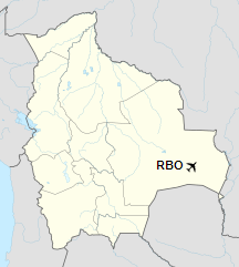
Location of Roboré Airport in Bolivia
|
| Runways |
| Direction |
Length |
Surface |
| m |
ft |
| 18/36 |
1,210 |
3,970 |
Grass |
|
|
Source: Landings.com Google Maps GCM |
The above content comes from Wikipedia and is published under free licenses – click here to read more.
The content above was published at Airports-Worldwide.com in 2019.
We don't guarantee the information is fresh and accurate. The data may be wrong or outdated.
For more up-to-date information please refer to other sources.
|


