|
|
Juana Azurduy de Padilla International Airport |
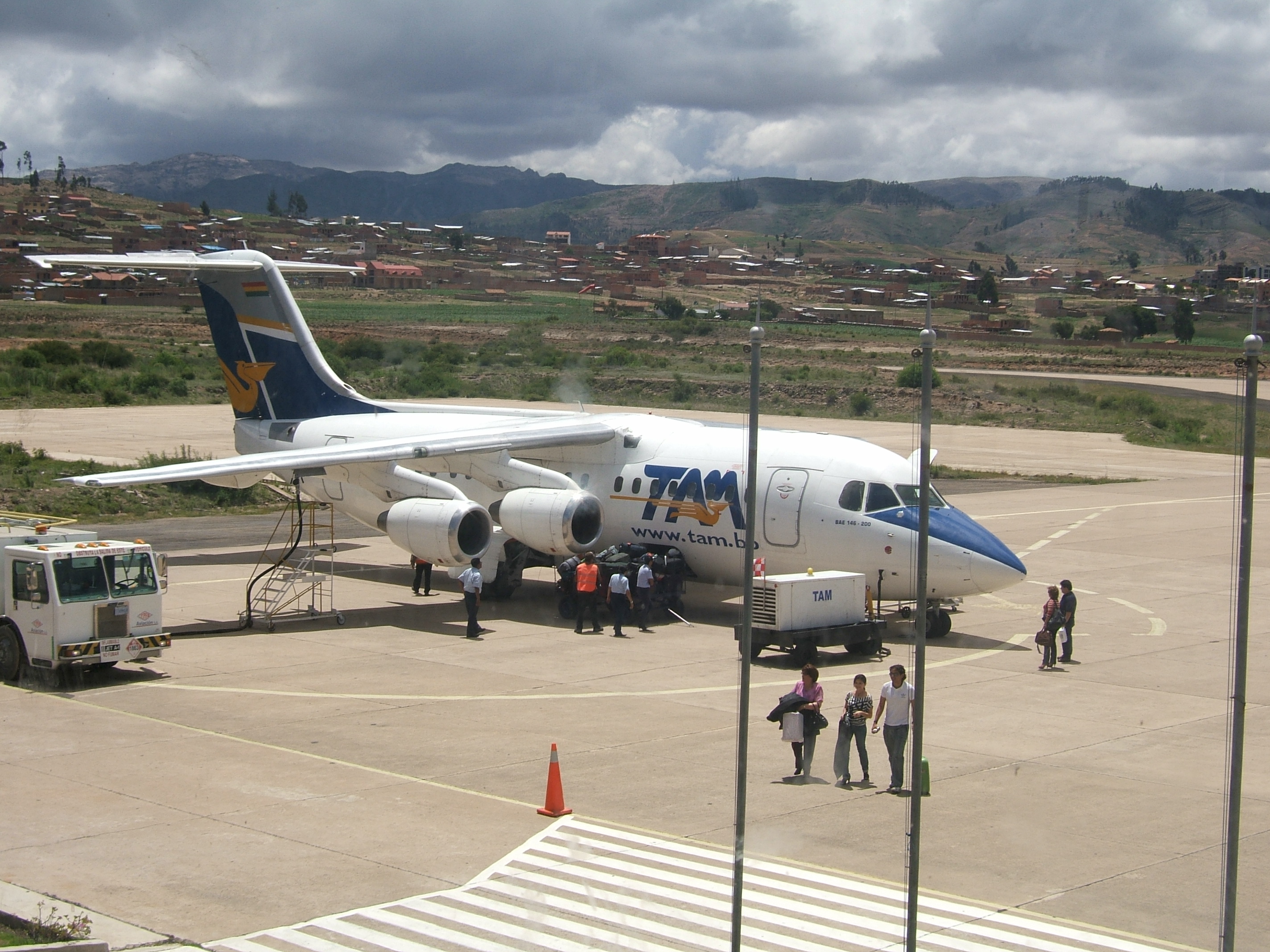
Juana Azurduy de Padilla International Airport (ICAO: SLSU) is an airport located in Sucre, Bolivia, the nation’s constitutional capital city. It is currently a base of the Bolivian Air Force and was formerly Sucre’s main commercial airport until it was replaced by the Alcantari Airport.
The only runway at Juana Azurduy de Padilla is 9,400 feet (2,900 m) in length, and at an altitude of 9,528 feet (2,904 m). Because of this high altitude, many people who arrived at Sucre via rapid air travel get altitude sickness. The altitude also caused the airport to be excessively cloudy at times, making approach difficult.
As with many in Latin America, Juana Azurduy de Padilla International Airport was not open 24 hours a day. It was only open from sunrise to sunset.
Though Sucre is Bolivia’s constitutional (de jure) capital city, Juana Azurduy de Padilla International Airport was not the largest airport in the country. The largest airport is Viru Viru in Santa Cruz de la Sierra.
The airport was named after Juana Azurduy de Padilla, who fought for the independence against Spain.
On May 15, 2016, after 41 years of service, the Juana Azurduy de Padilla International Airport ended its commercial flight service, and all its operations moved to Alcantari Airport. On 2017, the administration of the airport passed from AASANA to the military, turning the airport into an air force base.
|
Juana Azurduy de Padilla International Airport
Aeropuerto Internacional Juana Azurduy de Padilla
|
|
|
|
| Summary |
| Airport type |
Military |
| Operator |
Bolivian Air Force |
| Serves |
Sucre |
| Location |
Sucre |
| Elevation AMSL |
9,527 ft / 2,904 m |
| Coordinates |
19°00′25″S
65°17′19″W |
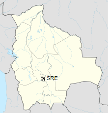
| Map |
Location of airport in Bolivia
|
| Runways |
| Direction |
Length |
Surface |
| ft |
m |
| 05/23 |
9,300 |
2,835 |
Concrete |
|
The above content comes from Wikipedia and is published under free licenses – click here to read more.
| General Info
|
| Country |
Bolivia
|
| ICAO ID |
SLSU
|
| Time |
UTC-4
|
| Latitude |
-19.007083
19° 00' 25.50" S
|
| Longitude |
-65.288747
065° 17' 19.49" W
|
| Elevation |
9527 feet
2904 meters
|
| Type |
Civil
|
| Magnetic Variation |
007° W (05/06)
|
| Operating Agency |
CIVIL GOVERNMENT, (LANDING FEES AND DIPLOMATIC CLEARANCE MAY BE REQUIRED)
|
| Near City |
Sucre
|
| Operating Hours |
SEE REMARKS FOR OPERATING HOURS OR COMMUNICATIONS FOR POSSIBLE HOURS
|
| Communications
|
| SUCRE TWR |
118.7
|
| SUCRE RDO |
6622
|
| SUCRE APP |
119.1
|
| Runways
|
| ID |
Dimensions |
Surface |
PCN |
ILS
|
| 05/23 |
9300 x 98 feet
2835 x 30 meters |
CONCRETE. |
040RBXT |
NO
|
| Navaids
|
| Type |
ID |
Name |
Channel |
Freq |
Distance From Field |
Bearing From Navaid
|
| VOR-DME |
SUR |
SUCRE |
112X |
116.5 |
At Field |
-
|
| NDB |
SRE |
SUCRE |
- |
230 |
At Field |
-
|
| Supplies/Equipment
|
| Fuel |
Jet A1, without icing nhibitor.
|
| Remarks
|
| CAUTION |
Bird haz.
|
| FUEL |
Opr SR-SS. (NC-100LL, A1)
|
| LGT |
PAPI Rwy 23 GS 2.5 .
|
| OPR HOURS |
Opr 1000-2300Z.
|
The content above was published at Airports-Worldwide.com in 2019.
We don't guarantee the information is fresh and accurate. The data may be wrong or outdated.
For more up-to-date information please refer to other sources.
|
|