 |
|
Apolo Airport (IATA: APB, ICAO: SLAP) is an airstrip serving Apolo, a town in the La Paz Department of Bolivia.
Apolo is in a wide valley of the Cordillera Real range, and there is mountainous terrain in all quadrants except north-northwest. The Apolo non-directional beacon (Ident: APB) is located on the field.
|
Apolo Airport |
|
|
| Summary |
| Airport type |
Public |
| Serves |
Apolo, Bolivia |
| Elevation AMSL |
4,642 ft / 1,415 m |
| Coordinates |
14°44′10″S
68°24′40″W |
| Map |
|
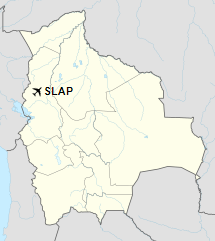
Location of Apolo Airport in Bolivia
|
| Runways |
| Direction |
Length |
Surface |
| m |
ft |
15/33 |
1,300 |
4,265 |
Grass |
|
|
Source: Landings.com Google Maps GCM |
The above content comes from Wikipedia and is published under free licenses – click here to read more.
The content above was published at Airports-Worldwide.com in 2019.
We don't guarantee the information is fresh and accurate. The data may be wrong or outdated.
For more up-to-date information please refer to other sources.
|
|


