|
Melinda Airport (IATA: MDB, ICAO: MZML) is an airstrip just east of Hope Creek,
a village in the Stann Creek District of Belize. The gravel runway is on the south edge of the Melinda
Forest Reserve, and just off the Hummingbird Highway.
The Belize VOR-DME (Ident: BZE) is located 32.2 nautical miles (60 km) north of the runway.
|
Melinda Airport |
|
|
| Summary |
| Airport type |
Public |
| Serves |
Hope Creek, Belize |
| Elevation AMSL |
101 ft / 31 m |
| Coordinates |
17°00′09″N
88°18′05″W |
| Map |
|
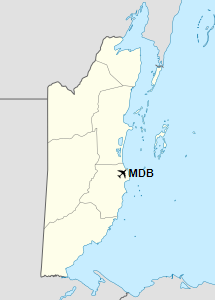
Location of Melinda Airport in Belize
|
| Runways |
| Direction |
Length |
Surface |
| m |
ft |
09/26 |
460 |
1,509 |
Gravel |
|
|
Source: HERE Maps GCM |
The above content comes from Wikipedia and is published under free licenses – click here to read more.
The content above was published at Airports-Worldwide.com in 2019.
We don't guarantee the information is fresh and accurate. The data may be wrong or outdated.
For more up-to-date information please refer to other sources.
|


