|
Dangriga Airport (IATA: DGA) also called Pelican Beach Airstrip is a public use airport located
1 kilometre (1 mi) north of Dangriga, a coastal town in the Stann Creek District of Belize.
The runway is 300 metres (0.2 mi) inland from the Caribbean Sea. East approach and departure are over the water.
The Belize VOR-DME (Ident: BZE) is located 33.6 nautical miles (62 km) north of the runway.
|
Dangriga Airport
Pelican Beach Airstrip |
|
|
| Summary |
| Airport type |
Public |
| Serves |
Dangriga, Belize |
| Elevation AMSL |
13 ft / 4 m |
| Coordinates |
16°58′57″N
88°13′50″W |
| Map |
|
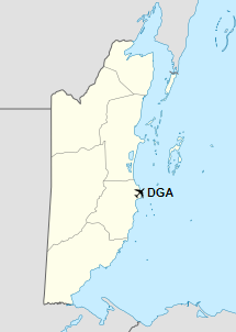
Location of Dangriga Airport in Belize
|
| Runways |
| Direction |
Length |
Surface |
| m |
ft |
09/27 |
795 |
2,608 |
Asphalt |
|
|
Source: GCM Google Maps |
The above content comes from Wikipedia and is published under free licenses – click here to read more.
The content above was published at Airports-Worldwide.com in 2019.
We don't guarantee the information is fresh and accurate. The data may be wrong or outdated.
For more up-to-date information please refer to other sources.
|


