|
|
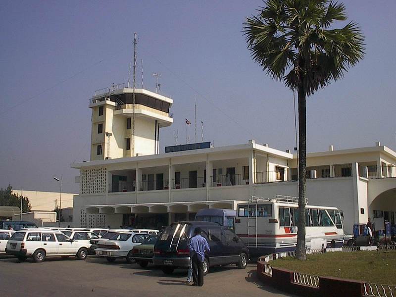
| Jessore Airport |
 |
| IATA: JSR – ICAO: VGJR |
| Summary |
| Airport type |
Military/Public |
| Operator |
Civil Aviation Authority of Bangladesh |
| Location |
Jessore |
| Elevation AMSL |
12 ft / 4 m |
| Coordinates |
23°11′01″N 89°09′39″E / 23.18361°N 89.16083°E / 23.18361; 89.16083Coordinates: 23°11′01″N 89°09′39″E / 23.18361°N 89.16083°E / 23.18361; 89.16083 |
| Runways |
| Direction |
Length |
Surface |
| ft |
m |
| 16/34 |
8,000 |
2,438 |
Asphalt |
Jessore Airport (IATA: JSR, ICAO: VGJR) is an airport in Jessore, Bangladesh.
Airlines and destinations
| Airlines |
Destinations |
| GMG Airlines |
Dhaka |
| United Airways |
Dhaka |
The above content comes from Wikipedia and is published under free licenses – click here to read more.
| General Info
|
| Country |
Bangladesh
|
| ICAO ID |
VGJR
|
| Time |
UTC+6
|
| Latitude |
23.183800
23° 11' 01.68" N
|
| Longitude |
89.160833
089° 09' 39.00" E
|
| Elevation |
20 feet
6 meters
|
| Type |
Joint (Civil and Military)
|
| Magnetic Variation |
000° W (05/06)
|
| Beacon |
Yes
|
| Operating Agency |
MILITARY - CIVIL JOINT USE AIRPORT
|
| Communications
|
| TWR |
123.2
122.9
|
| Runways
|
| ID |
Dimensions |
Surface |
PCN |
ILS
|
| 16/34 |
8000 x 150 feet
2438 x 46 meters |
ASPHALT |
018FCYT |
NO
|
| Navaids
|
| Type |
ID |
Name |
Channel |
Freq |
Distance From Field |
Bearing From Navaid
|
| VOR |
JSR |
JESSORE |
- |
113 |
At Field |
-
|
| NDB |
JR |
JESSORE |
- |
280 |
At Field |
-
|
| Remarks
|
| CSTMS/AG/IMG |
Avbl.
|
| MISC |
Ldg fees.
|
| OPR HOURS |
Opr HO.
|
The content above was published at Airports-Worldwide.com in 2010.
We don't guarantee the information is fresh and accurate. The data may be wrong or outdated.
For more up-to-date information please refer to other sources.
|
|