|
|
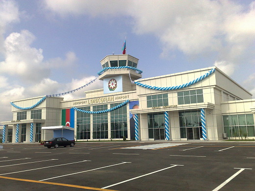
Lankaran International Airport |
Lankaran International Airport (Azerbaijani: Lənkəran Hava Limanı) is an airport serving Lankaran, a city in Azerbaijan in the south-east of Azerbaijan. Reconstruction of the Lankaran airport started in 2005 and finished in 2008, when the Lankaran airport received the status of an international airport.
|
Lankaran International Airport
Lənkəran Hava Limanı
|
|
|
|
| Summary |
| Airport type |
Public |
| Operator |
Government |
| Serves |
Lankaran, Azerbaijan |
| Elevation AMSL |
30 ft / 9 m |
| Coordinates |
38°45′31″N
048°48′23″E |
| Map |
Location of airport Lankaran, Azerbaijan
|
| Runways |
| Direction |
Length |
Surface |
| m |
ft |
| 15/33 |
3,300 |
10,827 |
Asphalt |
|
| Statistics (2014) |
| Passengers |
47,889 |
| Passenger change 13–14 |
-10.4% |
| Aircraft movements |
442 |
| Movements change 13–14 |
-20.5% |
|
Facilities
The airport resides at an elevation of 35 feet (11 m) above mean sea level. It has one runway designated 15/33 with an asphalt surface measuring 3,300 by 45 metres (10,827 ft × 148 ft).
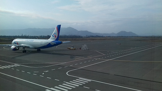
Airlines and destinations
| Destinations |
| Azerbaijan Airlines |
Seasonal: Moscow-Vnukovo |
| Ural Airlines |
Moscow-Domodedovo |
Statistics
Traffic by calendar year. Official ACI Statistics
| |
Passengers |
Change from previous year |
Aircraft operations |
Change from previous year |
Cargo
(metric tons) |
Change from previous year |
| 2013 |
53,435 |
N.D. |
556 |
N.D. |
10 |
N.D. |
| 2014 |
47,889 |
-10.38% |
442 |
-20.50% |
15 |
+50.00% |
Source: Airports Council International. World Airport Traffic Reports
(Years 2013, and 2014) |
The above content comes from Wikipedia and is published under free licenses – click here to read more.
| General Info
|
| Country |
Azerbaijan
|
| Latitude |
38.746442
38° 44' 47.19" N
|
| Longitude |
48.818039
048° 49' 04.94" E
|
| Elevation |
30 feet
9 meters
|
| Magnetic Variation |
005° E (05/06)
|
| Operating Agency |
CIVIL GOVERNMENT, (LANDING FEES AND DIPLOMATIC CLEARANCE MAY BE REQUIRED)
|
| Runways
|
| ID |
Dimensions |
Surface |
PCN |
ILS
|
| 13/31 |
5172 x 132 feet
1576 x 40 meters |
ASPHALT |
- |
NO
|
The content above was published at Airports-Worldwide.com in 2020.
We don't guarantee the information is fresh and accurate. The data may be wrong or outdated.
For more up-to-date information please refer to other sources.
|
|