|
 |
|
||||
|
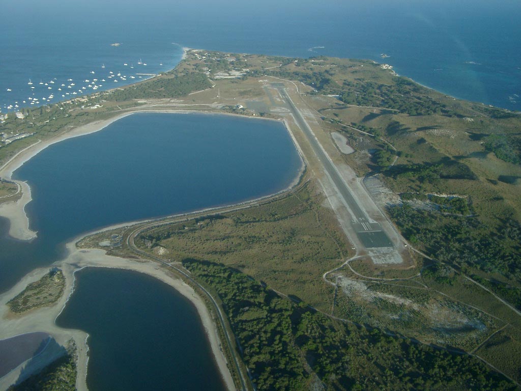
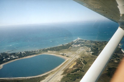
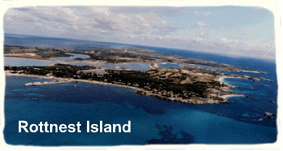
Rottnest Aerodrome
The Rottnest Aerodrome plays an important part in the training of civilian
pilots in Western Australia. Trainee pilots often practice circuits, cross-wind
landings and take-offs using the Aerodrome. Rottnest can be challenging
for trainee pilots of light fixed-wing aircraft due to the strong cross-winds
often experienced as the aircraft come in to land.
Images and information placed above are from Rottnest Island: Getting There By Air http://www.flightclub.com.au/wa-airstrips/rottnest/ We thank them for the data!
Runway 09/27 4242 x 59 feet
|
||||||||||||||||||||||||||||||||||||||||||||||||||||||||||||||||||||||||||||||||||||||||||||||||||||||||||||||||||||||||||||||||||||||||||||||||||||||||||||||||||||||||||||||||||||||
| Runway 09 | |
|---|---|
| Surface | ASPHALT |
| True Heading | 090.0 |
| Latitude | -32.006264 32° 00' 22.55" S |
| Longitude | 115.532836 115° 31' 58.21" E |
| Elevation | 12.0 feet 4 meters |
| Slope | -0.1° |
| Landing Distance | 4242 feet 1293 meters |
| Takeoff Distance | 4242 feet 1293 meters |
| Lighting System | LIRL |
| Runway 27 | |
|---|---|
| Surface | ASPHALT |
| True Heading | 270.0 |
| Latitude | -32.006339 32° 00' 22.82" S |
| Longitude | 115.546544 115° 32' 47.56" E |
| Elevation | 8.0 feet 2 meters |
| Slope | 0.1° |
| Landing Distance | 3678 feet 1121 meters |
| Takeoff Distance | 4242 feet 1293 meters |
| Displaced Threshold Length | 564 feet 172 meters |
| Lighting System | LIRL |
| ROTTNEST ISLAND | |||||
|---|---|---|---|---|---|
| Type | ID | Channel | Freq | Country | State |
| NDB | RTI | - | 317 | Australia | - |
| Latitude | Longitude | Airport |
| -32.004167 32° 00' 15.00" S |
115.544722 115° 32' 41.00" E |
YRTI |
The content above was published at Airports-Worldwide.com in 2004-2006.
We don't guarantee the information is fresh and accurate. The data may be wrong or outdated.
For more up-to-date information please refer to other sources.

 |
|
Copyright 2004-2026 © by Airports-Worldwide.com, Vyshenskoho st. 36, Lviv 79010, Ukraine Legal Disclaimer |
 Operator: Rottnest Island Authority