|
|
|
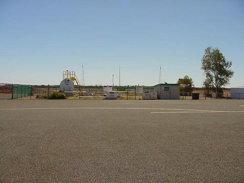 |
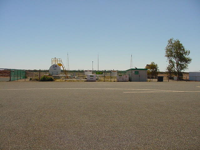
Photo credit: Transport (WA Govt)
(Click on the photo to enlarge) |
Images and information placed above are from
http://www.flightclub.com.au/wa-airstrips/laverton/
We thank them for the data!
| General Info
|
| Country |
Australia
|
| ICAO ID |
YLTN
|
| Time |
UTC+8
|
| Latitude |
-28.613611
28° 36' 49.00" S
|
| Longitude |
122.423889
122° 25' 26.00" E
|
| Elevation |
1530 feet
466 meters
|
| Magnetic Variation |
002° E (01/06)
|
| Operating Agency |
CIVIL GOVERNMENT, (LANDING
FEES AND DIPLOMATIC CLEARANCE MAY BE REQUIRED)
|
| Communications
|
| MELBOURNE CNTR |
118.4
|
| CTAF |
126.8
|
| Communications Remarks |
|
| FSS |
(3500')
|
| Runways
|
ID
|
Dimensions |
Surface |
PCN |
ILS
|
| 07/25 |
5906 x 98 feet
1800 x 30 meters |
ASPHALT |
010FBYU |
NO
|
| 16/34 |
3015 x 98 feet
919 x 30 meters |
GRADED OR ROLLED EARTH, GRASS ON GRADED EARTH. |
- |
NO
|
| Navaids
|
| Type |
ID |
Name |
Channel |
Freq |
Distance From Field |
Bearing From Navaid
|
| NDB |
LTN |
LAVERTON |
- |
407 |
At Field |
-
|
| Supplies/Equipment
|
| Oil |
O-117, 1100, Reciprocating Engine Oil (MIL L 6082)
|
| Remarks
|
| LGT |
Portable lgt emerg only. ACTIVATE- Rwy 07-25 - 121.3
|
| MISC |
Ldg fees. 180 turns on rwy at max rad, min speed.
|
Runway 07/25
5906 x 98 feet
1800 x 30 meters
| Runway 07
|
| Surface |
ASPHALT
|
| True Heading |
070.0
|
| Latitude |
-28.616753
28° 37' 00.31" S
|
| Longitude |
122.421092
122° 25' 15.93" E
|
| Elevation |
1512.0 feet
461 meters
|
| Slope |
0.2°
|
| Landing Distance |
5906 feet
1800 meters
|
| Takeoff Distance |
5906 feet
1800 meters
|
| Lighting System |
PCL
LIRL
PORTABLE |
| Runway 25
|
| Surface |
ASPHALT
|
| True Heading |
250.0
|
| Latitude |
-28.611119
28° 36' 40.03" S
|
| Longitude |
122.438350
122° 26' 18.06" E
|
| Elevation |
1525.0 feet
465 meters
|
| Slope |
-0.2°
|
| Landing Distance |
5906 feet
1800 meters
|
| Takeoff Distance |
5906 feet
1800 meters
|
| Lighting System |
PCL
LIRL
PORTABLE |
Runway 16/34
3015 x 98 feet
919 x 30 meters
| Runway 16
|
| Surface |
GRADED OR ROLLED EARTH, GRASS ON GRADED EARTH.
|
| True Heading |
157.0
|
| Latitude |
-28.606383
28° 36' 22.98" S
|
| Longitude |
122.422703
122° 25' 21.73" E
|
| Elevation |
1510.0 feet
460 meters
|
| Slope |
0.2°
|
| Landing Distance |
3015 feet
919 meters
|
| Takeoff Distance |
3015 feet
919 meters
|
| Lighting System |
PORTABLE
|
| Runway 34
|
| Surface |
GRADED OR ROLLED EARTH, GRASS ON GRADED EARTH.
|
| True Heading |
337.0
|
| Latitude |
-28.614042
28° 36' 50.55" S
|
| Longitude |
122.426311
122° 25' 34.72" E
|
| Elevation |
1517.0 feet
462 meters
|
| Slope |
-0.2°
|
| Landing Distance |
3015 feet
919 meters
|
| Takeoff Distance |
3015 feet
919 meters
|
| Lighting System |
PORTABLE
|
Navaids
| LAVERTON
|
| Type |
ID |
Channel |
Freq |
Country |
State
|
| NDB |
LTN |
- |
407 |
Australia |
-
|
| Latitude |
Longitude |
Airport
|
-28.612222
28° 36' 44.00" S |
122.422500
122° 25' 21.00" E |
YLTN |
The content above was published at Airports-Worldwide.com in 2004-2006.
We don't guarantee the information is fresh and accurate. The data may be wrong or outdated.
For more up-to-date information please refer to other sources.
|
 |