|
|
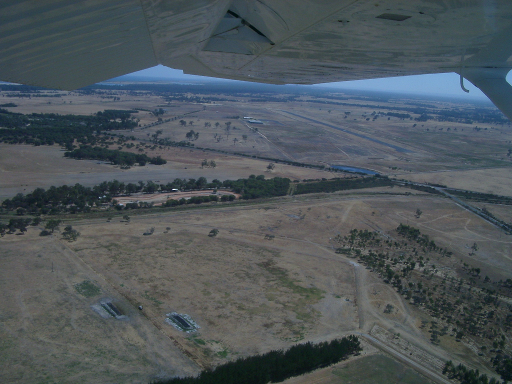
Images and information placed above are from
http://www.flightclub.com.au/wa-airstrips/busselton/
We thank them for the data!
| General Info
|
| Country |
Australia
|
| ICAO ID |
YBLN
|
| Time |
UTC+8
|
| Latitude |
-33.692500
33° 41' 33.00" S
|
| Longitude |
115.395278
115° 23' 43.00" E
|
| Elevation |
55 feet
17 meters
|
| Magnetic Variation |
003° W (01/06)
|
| Operating Agency |
CIVIL GOVERNMENT, (LANDING
FEES AND DIPLOMATIC CLEARANCE MAY BE REQUIRED)
|
| Communications
|
| MELBOURNE CNTR |
124.9
|
| CTAF |
126.7
|
| Communications Remarks |
|
| FSS |
(circuit area)
|
| Runways
|
ID
|
Dimensions |
Surface |
PCN |
ILS
|
| 03/21 |
5906 x 98 feet
1800 x 30 meters |
ASPHALT |
020FAYT |
NO
|
| Navaids
|
| Type |
ID |
Name |
Channel |
Freq |
Distance From Field |
Bearing From Navaid
|
| NDB |
BLN |
BUSSELTON |
- |
386 |
At Field |
-
|
| Supplies/Equipment
|
| Fuel |
Unknown fuel type or whether there is any fuel.
|
| Remarks
|
| CAUTION |
PJE sfc to 10000'. Bird haz.
|
| FUEL |
(NC-100LL) avbl 2330-0800Z fone C089-751-1400. OT 2 hr PN fone C041-717-7626.
|
| LGT |
ACTIVATE-Rwy 03-21and PAPI 119.6. PAPI; Rwy 03-21 MEHT 35'.
|
| MISC |
Ldg fees.
|
| NS ABTMT |
Dep Rwy 21, maint rwy hdg past Hwy 1.3 NM from thld Rwy 21 before turning left.
|
| RSTD |
Large acft use turning nodes at rwy ends.
|
Runway 03/21
5906 x 98 feet
1800 x 30 meters
| Runway 03
|
| Surface |
ASPHALT
|
| True Heading |
026.0
|
| Latitude |
-33.694886
33° 41' 41.59" S
|
| Longitude |
115.397758
115° 23' 51.93" E
|
| Elevation |
55.0 feet
17 meters
|
| Slope |
0.0°
|
| Landing Distance |
5906 feet
1800 meters
|
| Takeoff Distance |
5906 feet
1800 meters
|
| Lighting System |
PCL
LIRL
PAPI |
| Runway 21
|
| Surface |
ASPHALT
|
| True Heading |
206.0
|
| Latitude |
-33.680247
33° 40' 48.89" S
|
| Longitude |
115.406139
115° 24' 22.10" E
|
| Elevation |
55.0 feet
17 meters
|
| Slope |
0.0°
|
| Landing Distance |
5906 feet
1800 meters
|
| Takeoff Distance |
5906 feet
1800 meters
|
| Lighting System |
PCL
LIRL
PAPI |
Navaids
| BUSSELTON
|
| Type |
ID |
Channel |
Freq |
Country |
State
|
| NDB |
BLN |
- |
386 |
Australia |
-
|
| Latitude |
Longitude |
Airport
|
-33.692500
33° 41' 33.00" S |
115.395278
115° 23' 43.00" E |
YBLN |
The content above was published at Airports-Worldwide.com in 2004-2006.
We don't guarantee the information is fresh and accurate. The data may be wrong or outdated.
For more up-to-date information please refer to other sources.
|
 |