|
|
|
 |
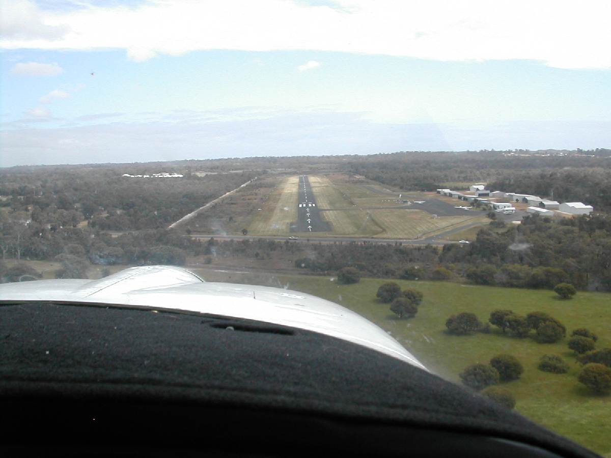
Finals for runway 25
Photo credit: Richard Dale, Flight Club member
(Click on the photo to enlarge) |
|
 |
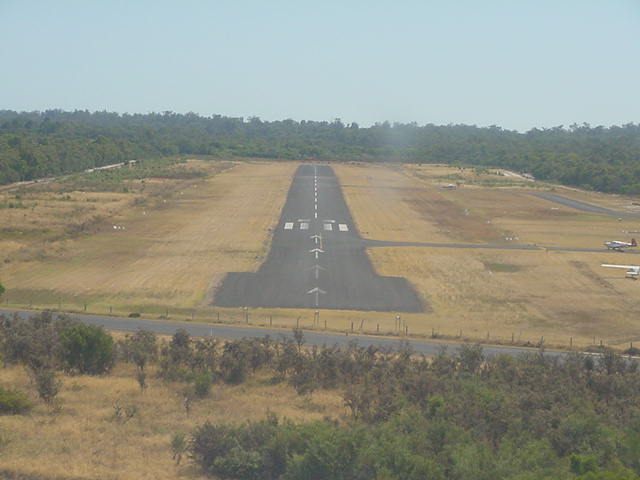
Late Finals Runway 25
Photo credit: Transport (WA Govt)
(Click on the photo to enlarge) |
|
 |
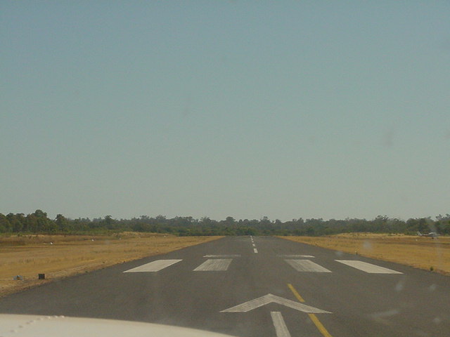
Landed Runway 25
Photo credit: Transport (WA Govt)
(Click on the photo to enlarge) |
Images and information placed above are from
http://www.flightclub.com.au/wa-airstrips/bunbury/
We thank them for the data!
| General Info
|
| Country |
Australia
|
| ICAO ID |
YBUN
|
| Time |
UTC+8
|
| Latitude |
-33.378333
33° 22' 42.00" S
|
| Longitude |
115.676667
115° 40' 36.00" E
|
| Elevation |
53 feet
16 meters
|
| Magnetic Variation |
002° W (01/06)
|
| Operating Agency |
CIVIL GOVERNMENT, (LANDING
FEES AND DIPLOMATIC CLEARANCE MAY BE REQUIRED)
|
| Operating Hours |
NO OPERATING HOURS LISTED
|
| Communications
|
| MELBOURNE CNTR |
124.9
|
| CTAF |
126.7
|
| Communications Remarks |
|
| FSS |
(on gnd)
|
| Runways
|
ID
|
Dimensions |
Surface |
PCN |
ILS
|
| 07/25 |
3330 x 98 feet
1015 x 30 meters |
ASPHALT |
- |
NO
|
| Supplies/Equipment
|
| Fuel |
Jet A1, without icing nhibitor.
100/130 MIL Spec, low lead, aviation gasoline (BLUE)
|
| Remarks
|
| CAUTION |
Ultralgt and microlgt acft opr SR-SS. Animal haz Feb-May.
|
| FUEL |
(NC-100LL, A1 drums only) 100LL avbl H24, A1 rqr 2 hr PN, fone C089-725-4377.
|
| LGT |
ACTIVATE-Rwy 07-25-125.1.
|
| MISC |
Arpt unlicensed. Ctc arpt for current info, fone C089-780-8257; OT C089-721-9495.
|
| RSTD |
Acft must bcst intentions on CTAF prior to opr on rwy.
|
Runway 07/25
3330 x 98 feet
1015 x 30 meters
| Runway 07
|
| Surface |
ASPHALT
|
| True Heading |
060.0
|
| Latitude |
-33.378333
33° 22' 42.00" S
|
| Longitude |
115.678333
115° 40' 42.00" E
|
| Elevation |
45.0 feet
14 meters
|
| Slope |
0.2°
|
| Landing Distance |
3330 feet
1015 meters
|
| Takeoff Distance |
3330 feet
1015 meters
|
| Lighting System |
PCL
LIRL |
| Runway 25
|
| Surface |
ASPHALT
|
| True Heading |
240.0
|
| Latitude |
-33.373889
33° 22' 26.00" S
|
| Longitude |
115.687778
115° 41' 16.00" E
|
| Elevation |
50.0 feet
15 meters
|
| Slope |
-0.2°
|
| Landing Distance |
2657 feet
810 meters
|
| Takeoff Distance |
3330 feet
1015 meters
|
| Displaced Threshold Length |
673 feet
205 meters
|
| Lighting System |
PCL
LIRL |
The content above was published at Airports-Worldwide.com in 2004-2006.
We don't guarantee the information is fresh and accurate. The data may be wrong or outdated.
For more up-to-date information please refer to other sources.
|
 |