|
 |
|
||||
|
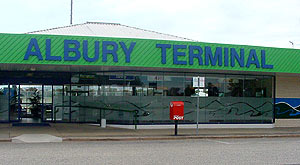
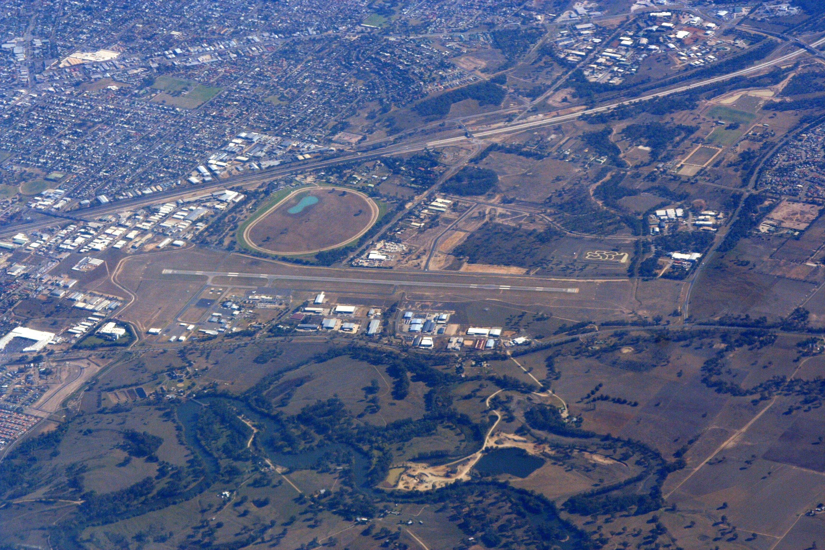
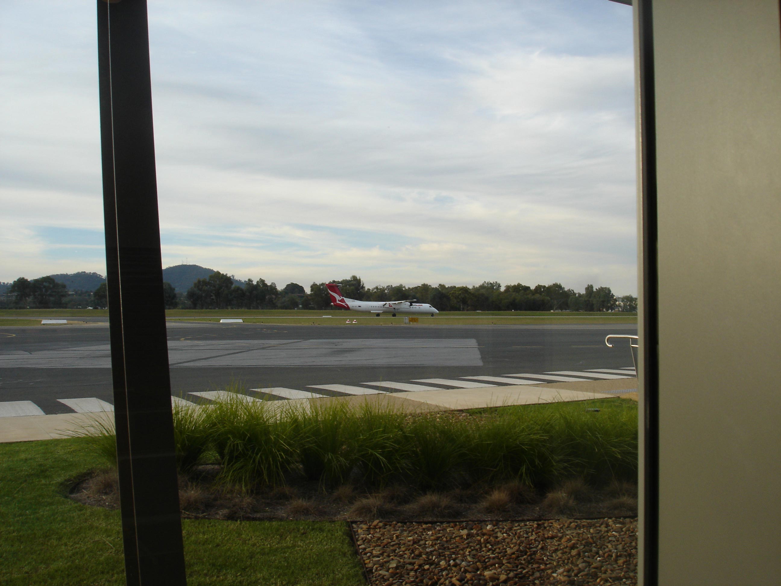
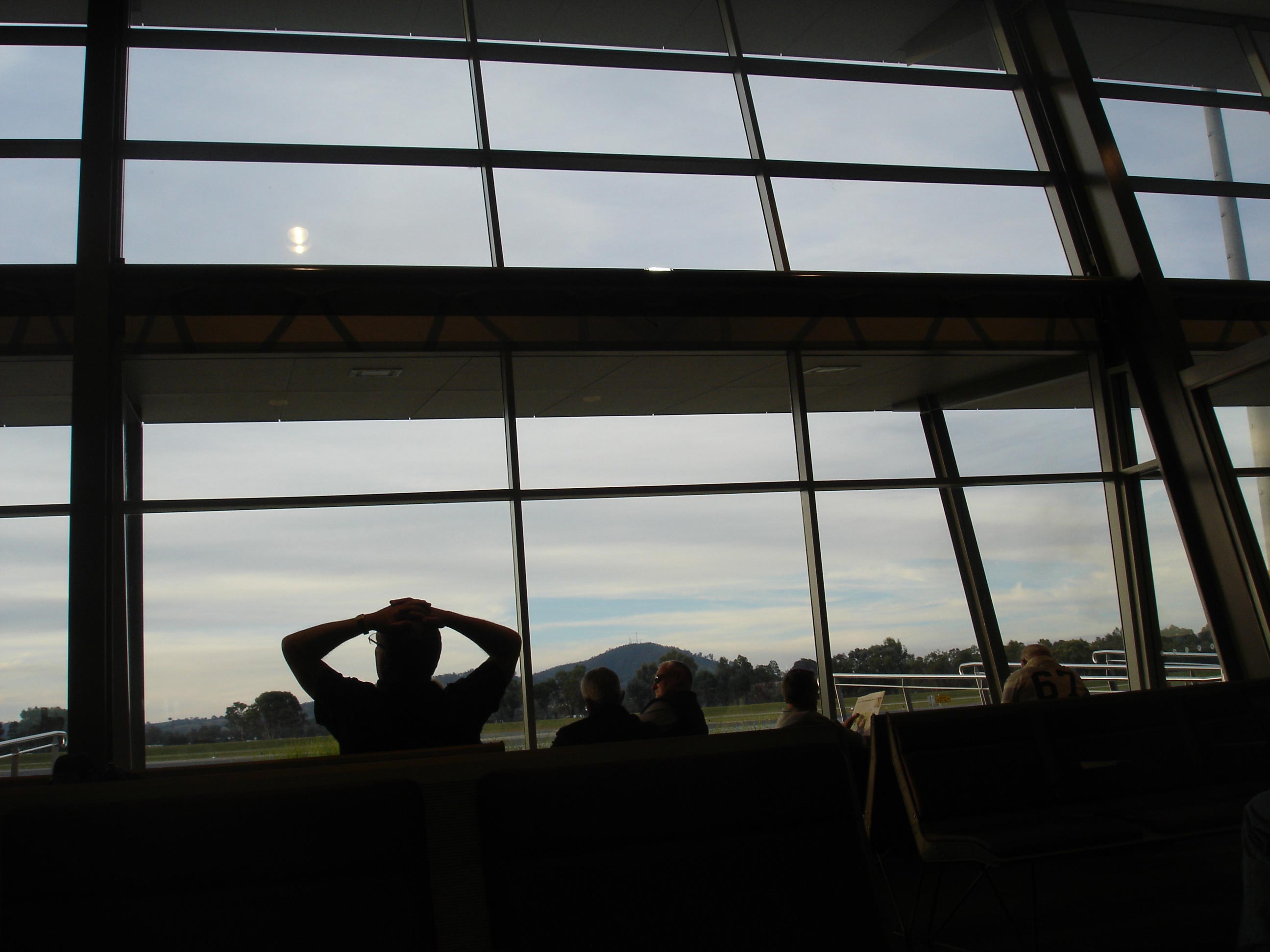
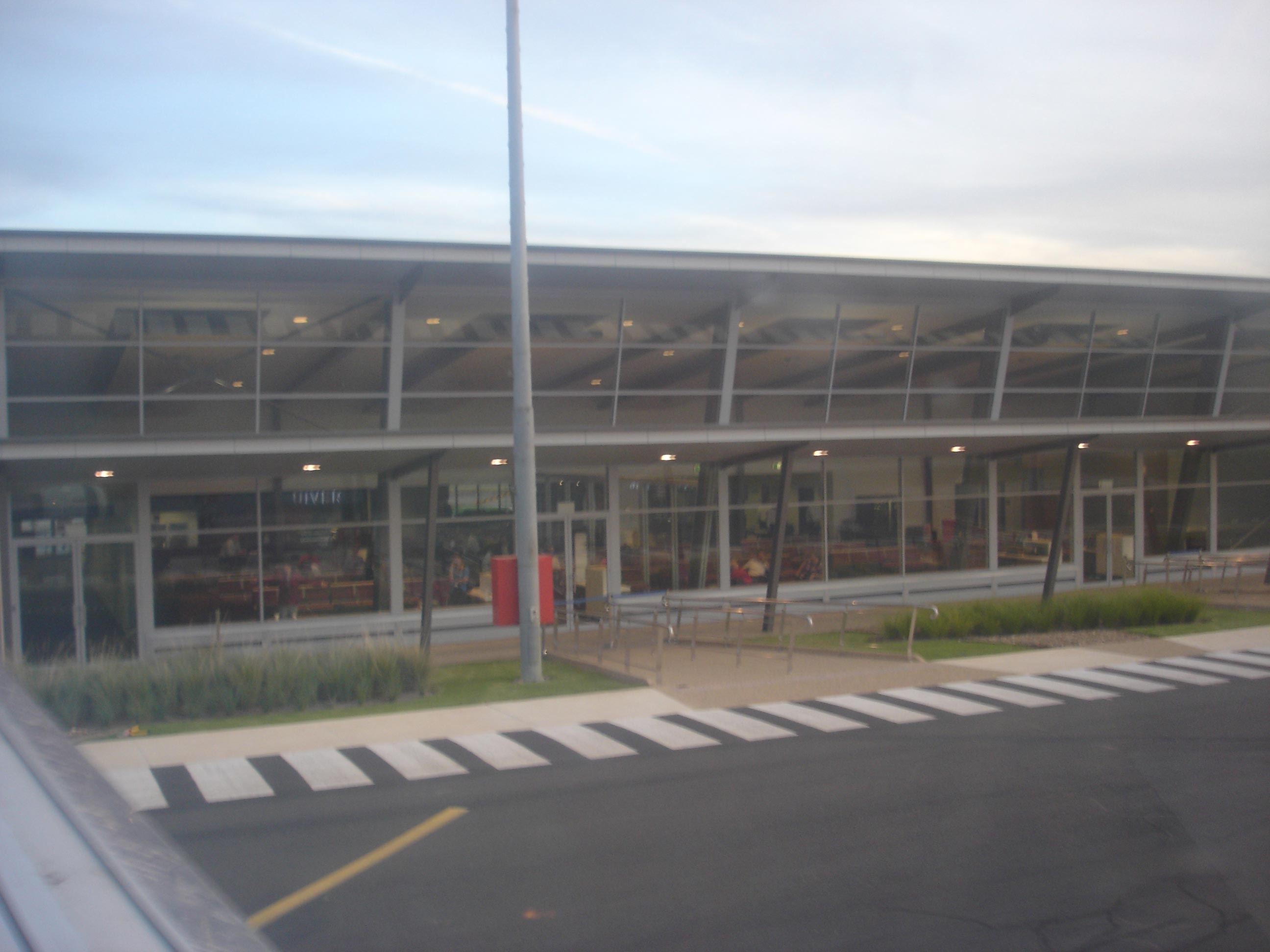
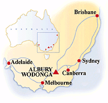
Albury Airport (IATA: ABX, ICAO: YMAY) is a regional airport located near Albury, New South Wales, Australia. The airport also serves Albury's adjacent sister city of Wodonga, Victoria. The passenger terminal has recently been extended to incorporate new security screening requirements and to cater for the increased number of flights. Ths terminal redevelopment was opened on 23 October 2009. The airport also hosts the official weather station for Albury-Wodonga.
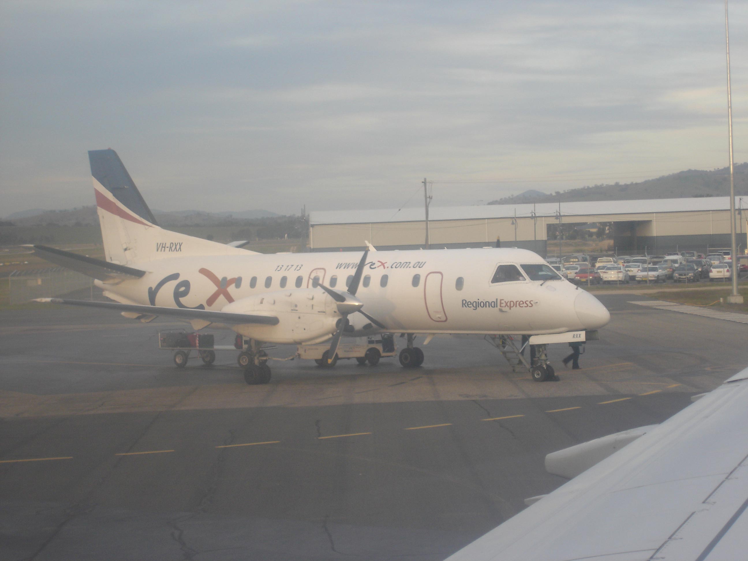
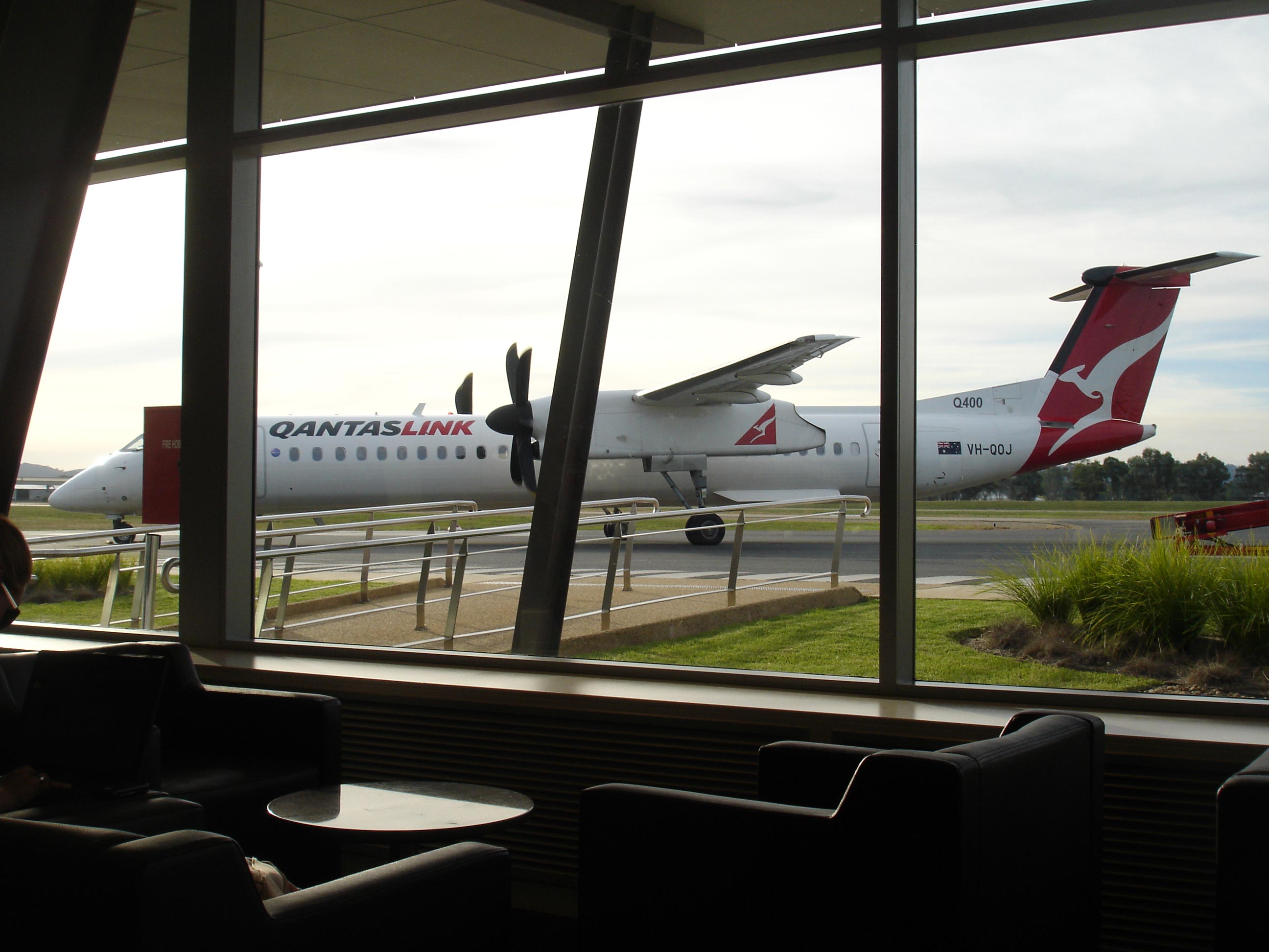
The airport is serviced twice daily by Virgin Blue who utilise 78-seat Embraer 170s to Sydney-they are the only airline to operate jet services to the airport; QantasLink who utilise a combination of 50 seat Dash 8-300s and 72 seat Dash 8-400s to Sydney; Regional Express (REX) who utilise 36 seat Saab 340s on services to Sydney and Melbourne and Brindabella Airlines who utilise 19 seat Metroliners to Canberra. Virgin Blue launched services to Albury on 5 February 2008 with double-daily Embraer 170 services-one of its first new ports served by the aircraft. They were the first (and still are the only) airline to operate jet services to the airport. Since the launch of services, fares to and from the airport have been reduced significantly. The airline has said it will launch new routes and more services out of Albury should a need be apparent, yet as of April 2010, no new services have been launched.[1] Following the launch of the service, the airline put 1,000 seats on the route on sale for 1 cent-the cheapest fare ever offered into the airport. The airport is also served by charter, freight, agricultural, and general aviation aircraft. Passenger airlines operating in Albury Airport
Images and information placed above are from www.airportsaustralia.com http://www.abc.net.au/nsw/stories/s637537.htm http://en.wikipedia.org/wiki/Albury_Airport We thank them for the data!
Runway 07/256234 x 98 feet
|
||||||||||||||||||||||||||||||||||||||||||||||||||||||||||||||||||||||||||||||||||||||||||||||||||||||||||||||||||||||||||||||||||||||||||||||||||||||||||||||||||||||||||||||||||||||||||||||||||||||||||||||||||||||||||||||||||||||||||||||||||||||||||||||||
| Runway 07 | |
|---|---|
| Surface | ASPHALT |
| True Heading | 081.0 |
| Latitude | -36.068075 36° 04' 05.07" S |
| Longitude | 146.948892 146° 56' 56.01" E |
| Elevation | 531.0 feet 162 meters |
| Slope | 0.1° |
| Landing Distance | 6234 feet 1900 meters |
| Takeoff Distance | 6234 feet 1900 meters |
| Lighting System | PCL
MIRL PAPI |
| Runway 25 | |
|---|---|
| Surface | ASPHALT |
| True Heading | 261.0 |
| Latitude | -36.065450 36° 03' 55.62" S |
| Longitude | 146.969742 146° 58' 11.07" E |
| Elevation | 539.0 feet 164 meters |
| Slope | -0.1° |
| Landing Distance | 6234 feet 1900 meters |
| Takeoff Distance | 6234 feet 1900 meters |
| Lighting System | PCL
MIRL PAPI |
| ALBURY | |||||
|---|---|---|---|---|---|
| Type | ID | Channel | Freq | Country | State |
| NDB | AY | - | 236 | Australia | - |
| Latitude | Longitude | Airport |
| -36.068611 36° 04' 07.00" S |
146.969722 146° 58' 11.00" E |
YMAY |
| ALBURY | |||||
|---|---|---|---|---|---|
| Type | ID | Channel | Freq | Country | State |
| VOR-DME | AY | 103X | 115.6 | Australia | - |
| Latitude | Longitude | Airport |
| -36.068056 36° 04' 05.00" S |
146.966111 146° 57' 58.00" E |
YMAY |
The content above was published at Airports-Worldwide.com in 2004-2006.
We don't guarantee the information is fresh and accurate. The data may be wrong or outdated.
For more up-to-date information please refer to other sources.

 |
|
Copyright 2004-2026 © by Airports-Worldwide.com, Vyshenskoho st. 36, Lviv 79010, Ukraine Legal Disclaimer |
 Operator: Albury City Council