|
Siple Dome (Coordinates: 81°39′15″S 149°00′18″W) is an ice dome approximately 100 km wide and 100 km long,
located 130 km east of Siple Coast in Antarctica. Charles Bentley and Robert Thomas established a "strain rosette" on this feature to determine ice movement in 1973–74. They referred to the feature as Siple Dome because of its proximity to Siple Coast.

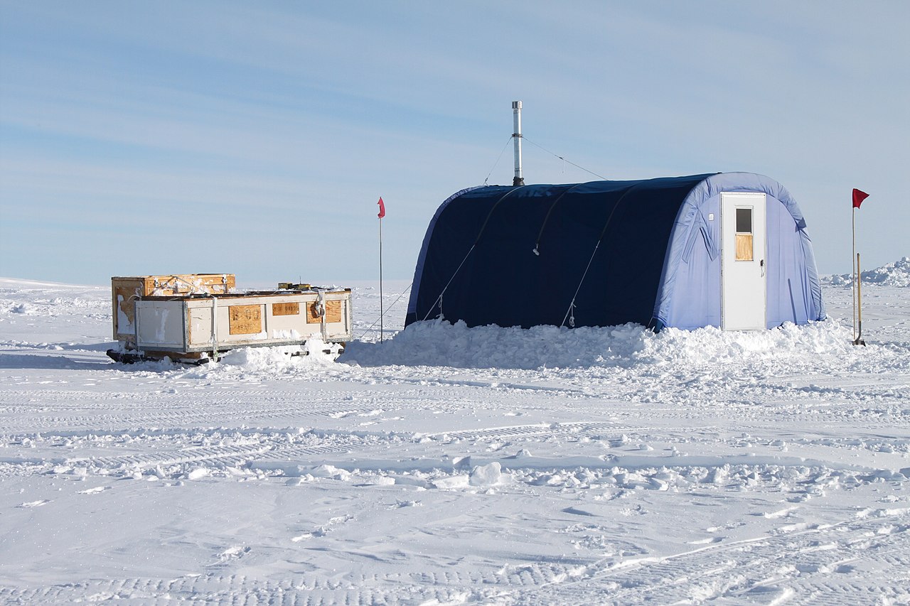
Siple Dome Field Camp. Photo by Eli Duke. CC BY-SA 2.0.
Siple Dome Skiway |
|---|
|
|
| Summary |
|---|
| Airport type | Government |
|---|
| Owner/Operator |
US Antarctic Program |
|---|
| Location |
Marie Byrd Land |
|---|
| Elevation AMSL |
1,994 ft / 607 m |
|---|
| Coordinates |
81°39′29″S 148°59′51″W |
|---|
| Runways |
|---|
| Direction |
Length |
Surface |
| ft |
m |
|
|
10,940
|
3,330
|
Ice
|
|

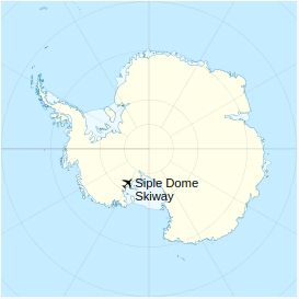
Location of Siple Dome Skiway in Antarctica
By Alexrk2 | CC BY-SA 3.0.
Text from Wikipedia is available under the Creative Commons Attribution/Share-Alike License; additional terms may apply.
The content above was published at Airports-Worldwide.com in 2023.
We donʼt guarantee the information is fresh and accurate. The data may be wrong or outdated.
For more up-to-date information please refer to other sources.
|


