|
|
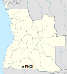
Ondjiva Pereira Airport (IATA: VPE, ICAO: FNGI) is an airport serving Ondjiva (alternate spellings: Ongiva, Ngiva, N’giva) in Cunene Province, Angola. The airport is 38 kilometres (24 mi) north of the Namibian border.
The N’giva non-directional beacon (Ident: GI) is located on the field.
|
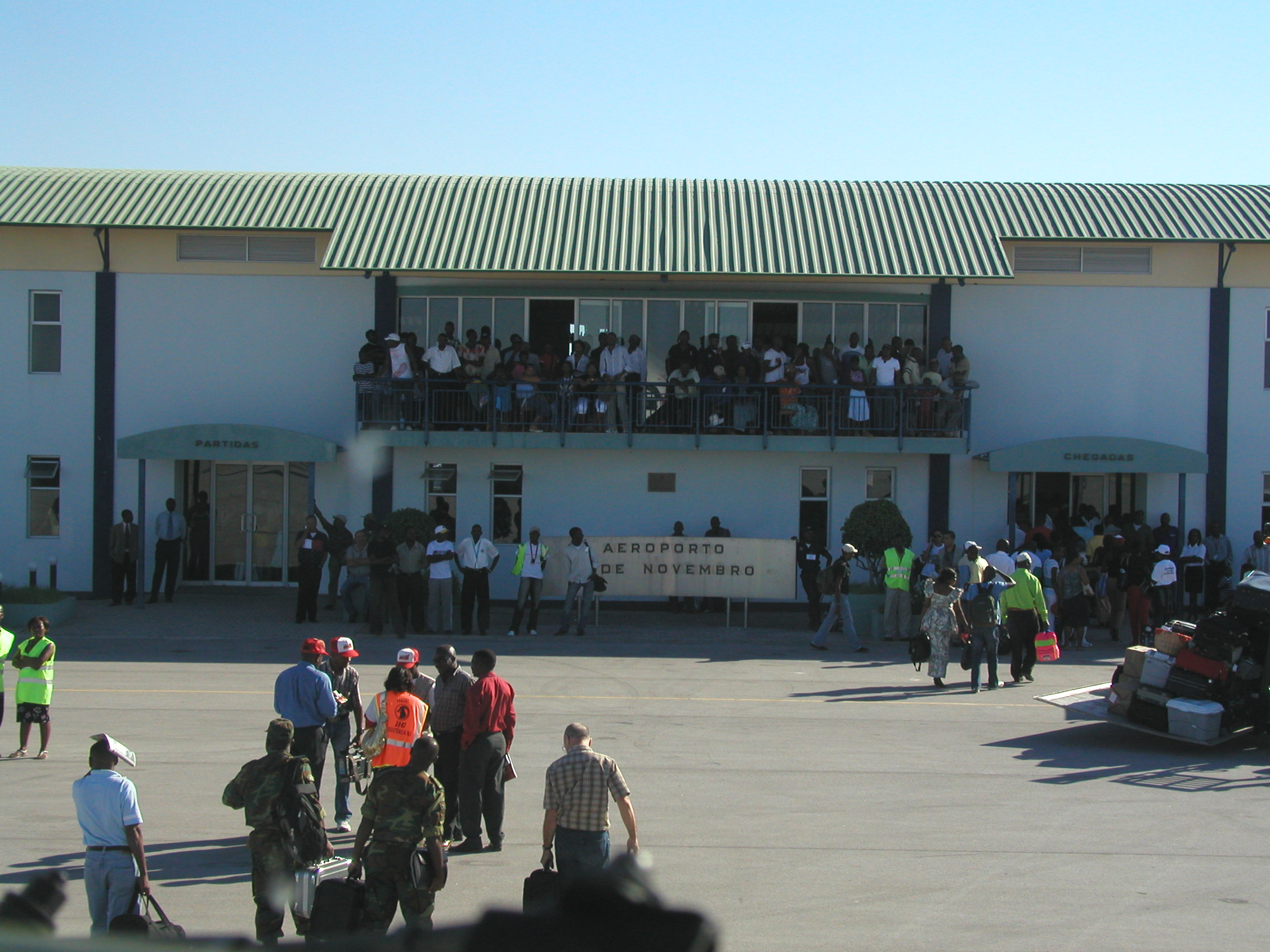
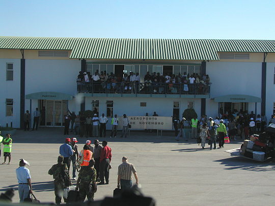
Ondjiva Pereira Airport
Aeroporto 11 de Novembro
|
|
|
| Summary |
| Airport type |
Public |
| Operator |
Government |
| Serves |
Ondjiva |
| Elevation AMSL |
3,567 ft / 1,087 m |
| Coordinates |
17°2′35″S
15°41′00″E |
| Map |
Location of Ondjiva Pereira Airport in Angola
|
| Runways |
| Direction |
Length |
Surface |
| m |
ft |
| 13/31 |
3,243 |
10,640 |
Asphalt |
|
Airlines and destinations
| Destinations |
| SonAir |
Luanda, Lubango |
| TAAG Angola Airlines |
Catumbela, Huambo, Kuito, Luanda, Lubango, Menongue, Moçâmedes |
The above content comes from Wikipedia and is published under free licenses – click here to read more.
| General Info
|
| Country |
Angola
|
| ICAO ID |
FNGI
|
| Time |
UTC+1
|
| Latitude |
-17.043464
17° 02' 36.47" S
|
| Longitude |
15.683822
015° 41' 01.76" E
|
| Elevation |
3566 feet
1087 meters
|
| Magnetic Variation |
009° W (09/06)
|
| Operating Agency |
CIVIL GOVERNMENT, (LANDING FEES AND DIPLOMATIC CLEARANCE MAY BE REQUIRED)
|
| Operating Hours |
SUNRISE TO SUNSET (SR-SS)
|
| Communications
|
| AFIS |
118.7
|
| Runways
|
| ID |
Dimensions |
Surface |
PCN |
ILS
|
| 13/31 |
10640 x 95 feet
3243 x 29 meters |
ASPHALT |
- |
NO
|
| Navaids
|
| Type |
ID |
Name |
Channel |
Freq |
Distance From Field |
Bearing From Navaid
|
| NDB |
PE |
NGIVA |
- |
327 |
4.0 NM |
299.0
|
| Remarks
|
| FUEL |
(NC-100LL)
|
| OPR HOURS |
Opr SR-SS.
|
The content above was published at Airports-Worldwide.com in 2020.
We don't guarantee the information is fresh and accurate. The data may be wrong or outdated.
For more up-to-date information please refer to other sources.
|
|