|
Huambo Airport (ICAO: FNNL) is a public use airport near the eastern edge of the city of Huambo in Huambo Province, Angola.
In a May 2016 aerial image, the coordinates show a narrow dirt road over-arched in several places by trees.
The full-services Albano Machado Airport (IATA: NOV, ICAO: FNHU) is 2,500 metres (8,200 ft) south of the FNNL location.
|
Huambo Airport
|
|
|
| Summary |
| Airport type |
Public |
| Serves |
Huambo |
| Location |
Angola |
| Elevation AMSL |
5,443 ft / 1,659 m |
| Coordinates |
12°47′10.7″S
15°46′28.3″E |
| Map |
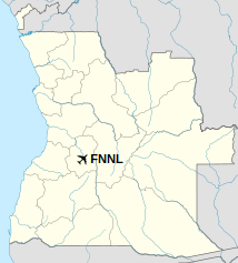
Location of Huambo Airport in Angola
|
| Runways |
| Direction |
Length |
Surface |
| m |
ft |
| 04/22 |
457 |
1,499 |
Dirt |
|
Accidents and incidents
On 19 January 2008, a Gira Globo Aeronáutica Beechcraft B200 Super King Air on approach to Huambo Airport crashed on a mountain near Bailundo, killing all 13 people on board.
The above content comes from Wikipedia and is published under free licenses – click here to read more.
The content above was published at Airports-Worldwide.com in 2020.
We don't guarantee the information is fresh and accurate. The data may be wrong or outdated.
For more up-to-date information please refer to other sources.
|