|
|
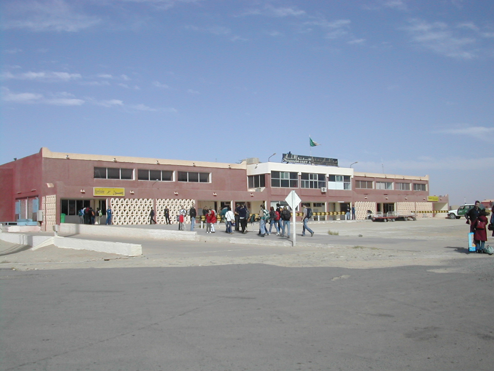
Aguenar - Hadj Bey Akhamok Airport
Aéroport de Tamanrasset / Aguenar - Hadj Bey Akhamok |
 |
| IATA: TMR – ICAO: DAAT |
| Summary |
| Airport type |
Public |
| Operator |
EGSA Alger |
| Serves |
Tamanrasset, Algeria |
| Elevation AMSL |
1,377 m / 4,518 ft |
| Coordinates |
22°48′40″N 005°27′03″E / 22.81111°N 5.45083°E / 22.81111; 5.45083 |
| Runways |
| Direction |
Length |
Surface |
| m |
ft |
| 02/20 |
3,600 |
11,800 |
Asphalt |
| 08/26 |
3,100 |
10,170 |
Asphalt |
| Sources: AIP, EGSA Alger, DAFIF |
Aguenar - Hadj Bey Akhamok Airport (French: Aéroport de Tamanrasset / Aguenar - Hadj Bey Akhamok) (IATA: TMR, ICAO: DAAT), also known as Aguenar Airport or Tamanrasset Airport, is an airport serving Tamanrasset, a city in the Tamanrasset Province of southern Algeria. It is located 3.6 nautical miles (6.7 km) northwest of the city.
The airport is currently an alternative landing site for NASA's Space Shuttle. Airlines and destinations
| Airlines |
Destinations |
| Aigle Azur |
Paris-Orly |
| Air Algerie |
Algiers, Djanet, Ghardaia, In Salah, Paris-Orly |
Incidents and accidents
- On 8 February 1978, Douglas C-49J N189UM of Aero Service Corporation was damaged beyond repair in a landing accident at Tamanrasset.
- On March 6, 2003 Air Algérie Flight 6289 crashed at 3:45 p.m. local time (1445 GMT). The flight was leaving Tamanrasset bound for Algiers with the co-pilot acting as pilot-in-command. At a height of 78 feet and a speed of 158 kts, the No. 1 engine suffered a turbine failure. The captain took control. The co-pilot asked if she should raise the gear, but the captain did not respond. The Boeing 737-200 lost speed, stalled, and broke up on rocky terrain about 1600 metres past the runway. The accident was caused by the loss of an engine during a critical phase of flight, the non-retraction of the landing gear after the engine failure, and the Captain taking over control of the airplane before having clearly identified the problem. There were 102 fatalities and one survivor.
The above content comes from Wikipedia and is published under free licenses – click here to read more.
| General Info
|
| Country |
Algeria
|
| ICAO ID |
DAAT
|
| Time |
UTC+1
|
| Latitude |
22.811461
22° 48' 41.26" N
|
| Longitude |
5.451075
005° 27' 03.87" E
|
| Elevation |
4518 feet
1377 meters
|
| Type |
Civil
|
| Magnetic Variation |
000° W (05/06)
|
| Operating Agency |
CIVIL GOVERNMENT, (LANDING FEES AND DIPLOMATIC CLEARANCE MAY BE REQUIRED)
|
| Communications
|
| TWR |
118.1
119.7
|
| RDO |
119.7
5652
8894
13273
17961
|
| Communications Remarks |
|
| RDO |
(3419 out of svc UFN).
|
| Runways
|
| ID |
Dimensions |
Surface |
PCN |
ILS
|
| 02/20 |
11811 x 148 feet
3600 x 45 meters |
ASPHALT |
056FBWT |
NO
|
08/26
CLOSED |
10171 x 148 feet
3100 x 45 meters |
ASPHALT |
048FAXT |
NO
|
| Navaids
|
| Type |
ID |
Name |
Channel |
Freq |
Distance From Field |
Bearing From Navaid
|
| VOR-DME |
TMS |
TAMANRASSET |
072X |
112.5 |
2.0 NM |
205.0
|
| NDB |
TAM |
TAMANRASSET |
- |
358 |
At Field |
-
|
| Supplies/Equipment
|
| Fuel |
Jet A1, without icing nhibitor.
100/130 octane gasoline, leaded, MIL-L-5572F (GREEN)
|
| Remarks
|
| FUEL |
(NC- A1)
|
| MISC |
Ldg fees rqr.
|
| OPR HOURS |
Opr 0700-1500Z.
|
The content above was published at Airports-Worldwide.com in 2010.
We don't guarantee the information is fresh and accurate. The data may be wrong or outdated.
For more up-to-date information please refer to other sources.
|
|