 |
|
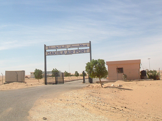
| Dakhla Airport |
 |
| IATA: VIL – ICAO: GMMH |
| Summary |
| Airport type |
Public / Military |
| Operator |
Office National Des Aéroports (ONDA) /
Forces Royales Air (FRA) |
| Serves |
Dakhla |
| Location |
Western Sahara |
| Elevation AMSL |
36 ft / 11 m |
| Coordinates |
23°43′05″N 015°55′55″W / 23.71806°N 15.93194°W / 23.71806; -15.93194 |
| Runways |
| Direction |
Length |
Surface |
| m |
ft |
| 03/21 |
3,000 |
9,842 |
Asphalt |
| Statistics (2008) |
| Aircraft movements |
1,574 |
| Passengers |
42,066 |
| Cargo (tonnes) |
34.43 |
| Sources: ONDA, DAFIF |
Dakhla Airport (IATA: VIL, ICAO: GMMH) is an airport serving Dakhla (also known as ad-Dakhla, formerly Villa Cisneros), a city in Western Sahara.
The airport is operated as a Moroccan airport, with public facilities managed by the Moroccan state-owned company ONDA.
The status of Western Sahara is disputed, see: Legal status of Western Sahara. History
During World War II, the airport was used by the United States Army Air Force Air Transport Command as a stopover for cargo, transiting aircraft and personnel on the North African Cairo-Dakar transport route for cargo, transiting aircraft and personnel. It connected to Dakar Airport in the South and Agadir Airport to the north.
Airport and facilities
The Dakhla airport is used as public airport and by the Royal Moroccan Air Force. The 3 km (1.9 mi) long runway can receive a Boeing 737 or smaller planes. Parking space of 18,900 square metres (203,000 sq ft) or one Boeing 737.
The passenger terminal covers 670 square metres (7,200 sq ft) and is capable to handle up to 55,000 passengers per year. Public facilities available include a medical post and a prayer room.
The airport offers the following radio-navigation aids: VOR and DME.
Airlines and destinations
| Airlines |
Destinations |
| Royal Air Maroc |
Agadir, Casablanca |
| topFly.com |
Las Palmas de Gran Canaria |
Traffic statistics
| Item |
2008 |
2007 |
2006 |
2005 |
2004 |
2003 |
| Aircraft movements |
1,574 |
1,492 |
839 |
674 |
606 |
492 |
| Passengers |
42,066 |
36,354 |
21,253 |
21,442 |
11,670 |
12,149 |
| Cargo (tonnes) |
34.43 |
48.63 |
59.77 |
61.06 |
140.96 |
107.81 |
The above content comes from Wikipedia and is published under free licenses – click here to read more.
| General Info
|
| Country |
Western Sahara
|
| ICAO ID |
GMMH
|
| Time |
UTC 0
|
| Latitude |
23.718294
23° 43' 05.86" N
|
| Longitude |
-15.931994
015° 55' 55.18" W
|
| Elevation |
36 feet
11 meters
|
| Type |
Joint (Civil and Military)
|
| Magnetic Variation |
006° W (01/06)
|
| Operating Agency |
MILITARY - CIVIL JOINT USE AIRPORT
|
| Alternate Name |
VILLA CISNEROS
|
| Operating Hours |
SUNRISE TO SUNSET (SR-SS)
|
| International Clearance Status |
Airport of Entry
|
| Communications
|
TWR
Opr SR-SS, O/T PPR.
|
118.1
|
| Runways
|
| ID |
Dimensions |
Surface |
PCN |
ILS
|
| 03/21 |
9842 x 148 feet
3000 x 45 meters |
ASPHALT |
- |
NO
|
| Navaids
|
| Type |
ID |
Name |
Channel |
Freq |
Distance From Field |
Bearing From Navaid
|
| VOR-DME |
DKH |
DAKHLA |
105X |
115.8 |
1.4 NM |
197.4
|
| NDB |
DKA |
DAKHLA |
- |
221 |
At Field |
-
|
| Remarks
|
| CAUTION |
Bird haz.
|
| FUEL |
(NC-A1)
|
| OPR HOURS |
Opr SR-SS.
|
| RSTD |
180 turn on rwy proh for acft over 44,000 lb.
|
The content above was published at Airports-Worldwide.com in 2010.
We don't guarantee the information is fresh and accurate. The data may be wrong or outdated.
For more up-to-date information please refer to other sources.
|
|


