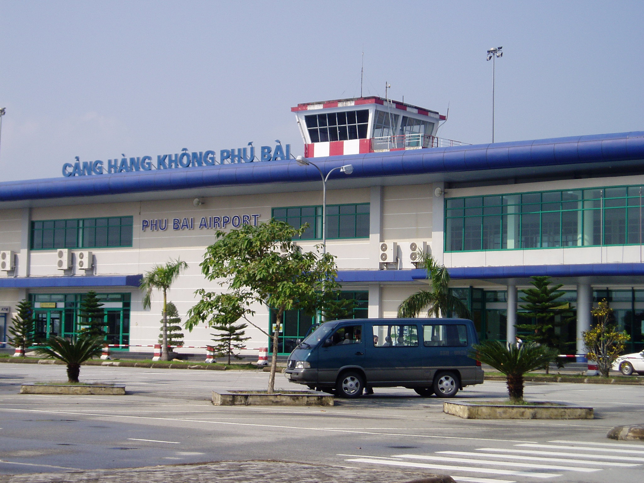
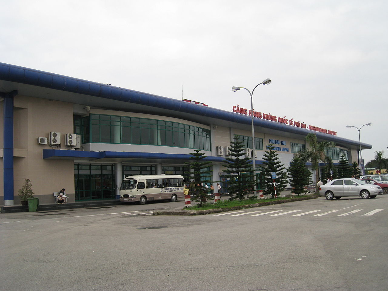
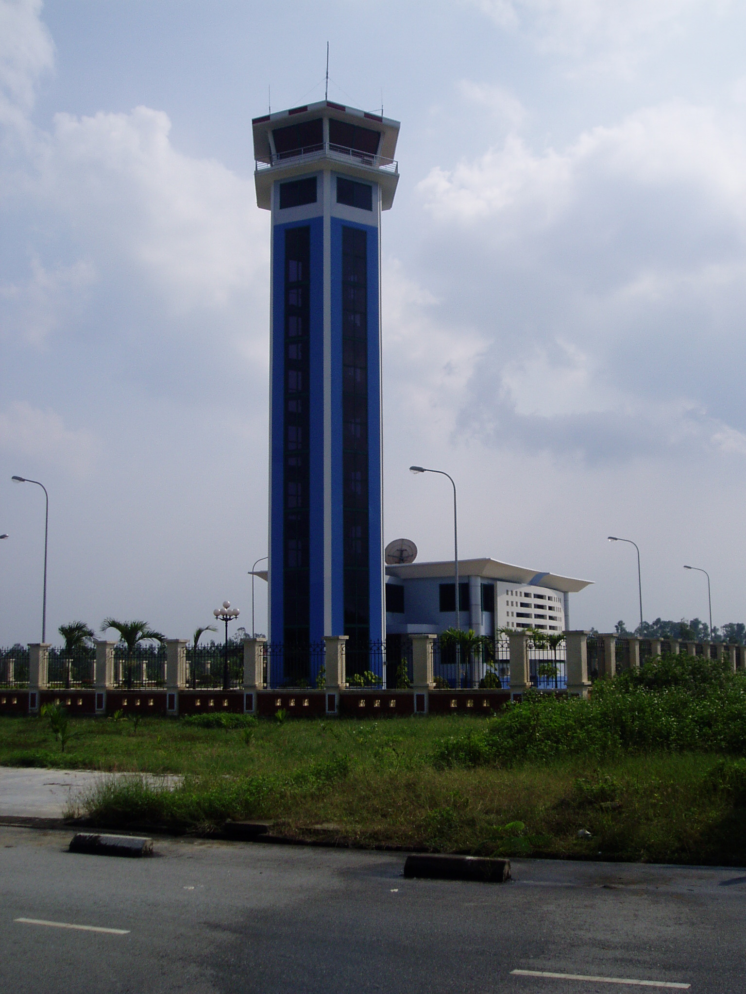
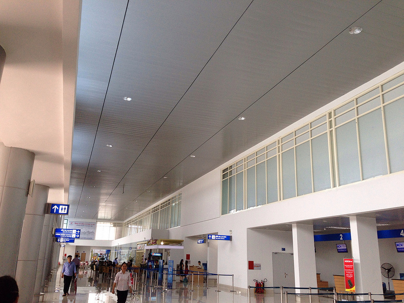
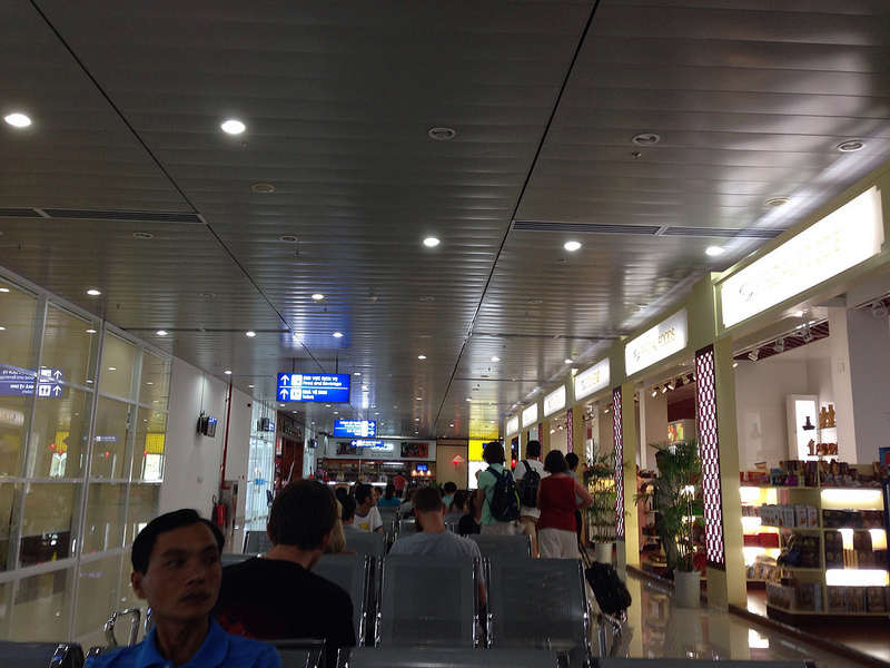
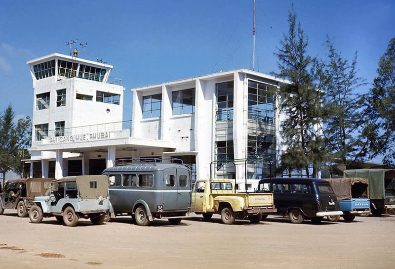
Phu Bai International Airport
Sân bay Quốc tế Phú Bài |
 |
IATA: HUI – ICAO: VVPB
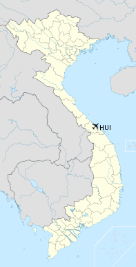
Location of airport in Vietnam
|
| Summary |
| Airport type |
Public |
| Operator |
Middle Airport Authority |
| Location |
Hue |
| Elevation AMSL |
49 ft / 15 m |
| Coordinates |
16°24′06″N 107°42′10″E / 16.40167°N 107.70278°E / 16.40167; 107.70278Coordinates: 16°24′06″N 107°42′10″E / 16.40167°N 107.70278°E / 16.40167; 107.70278 |
| Runways |
| Direction |
Length |
Surface |
| ft |
m |
| 09/27 |
8,775 |
2,675 |
Asphalt |
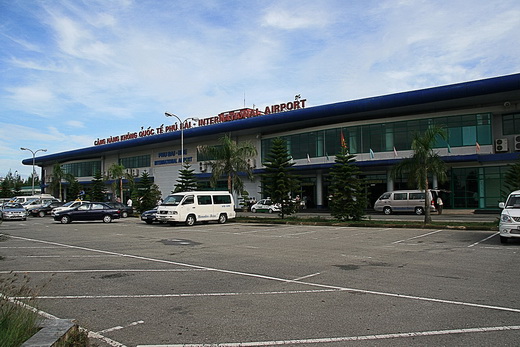
Phu Bai International Airport (IATA: HUI, ICAO: VVPB) (Vietnamese: Sân bay Quốc tế Phú Bài) is located just south of the central city of Huế, former capital of Vietnam.
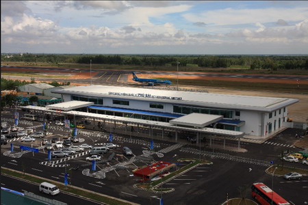
Phu Bai International Airport
Destinations
| Airlines |
Destinations |
| Jetstar Pacific Airlines |
Ho Chi Minh City |
| Vietnam Airlines |
Hanoi, Ho Chi Minh City |
News
- October 30, 2005: Phú Bài Airport officially welcomed its first international flight since it was allowed to receive international flights by Government in 2002. The charter flight operated by Vietnamese Airlines carried Vietnamese tourists from Luang Prabang, Laos.
- May 24, 2007: Changi Airports International (CAI) today announced that it has signed a Memorandum of Understanding with the People’s Committee of Thua Thien Hue Province for the development of Phu Bai-Hue International Airport. This MOU was signed as part of the Vietnamese government’s launch of a tourism master plan to develop Thua Thien Hue Province as the next international tourism destination of Vietnam.
The MOU was signed by Mr. Nguyen Xuan Ly, Chairman of People’s Committee of Thua Thien Hue Province and Mr. Chow Kok Fong, Chief Executive Officer of CAI in Vietnam. The event was witnessed by officials from the Civil Aviation Administration of Vietnam, CAAV.

Phu Bai International Airport
Phu Bai International Airport
| General Info
|
| Country |
Vietnam
|
| ICAO ID |
VVPB
|
| Time |
UTC+7
|
| Latitude |
16.401500
16° 24' 05.40" N
|
| Longitude |
107.702614
107° 42' 09.41" E
|
| Elevation |
48 feet
15 meters
|
| Magnetic Variation |
000° W (01/06)
|
| Beacon |
Yes
|
| Operating Agency |
CIVIL GOVERNMENT, (LANDING FEES AND DIPLOMATIC CLEARANCE MAY BE REQUIRED)
|
| Alternate Name |
HUE
|
| Near City |
Hue
|
| Runways
|
| ID |
Dimensions |
Surface |
PCN |
ILS
|
| 09/27 |
8775 x 130 feet
2675 x 40 meters |
ASPHALT |
042FBWT |
YES
|
| Navaids
|
| Type |
ID |
Name |
Channel |
Freq |
Distance From Field |
Bearing From Navaid
|
| VOR-DME |
HUE |
PHUBAI |
105X |
115.8 |
At Field |
-
|
| NDB |
PB |
PHUBAI |
- |
440 |
4.0 NM |
275.6
|
The content above was published at Airports-Worldwide.com in 2010.
We don't guarantee the information is fresh and accurate. The data may be wrong or outdated.
For more up-to-date information please refer to other sources.
|