|
|
Phu Quoc Airport
Sân bay Phú Quôc |
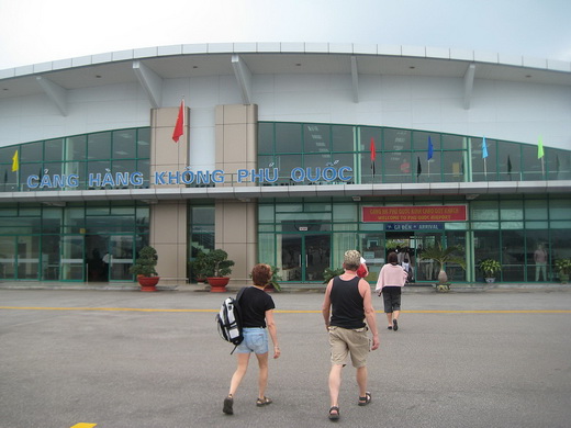 |
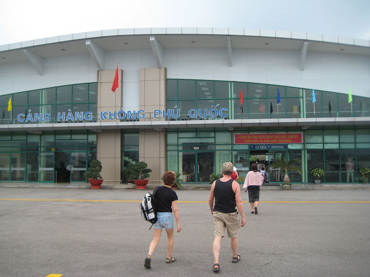
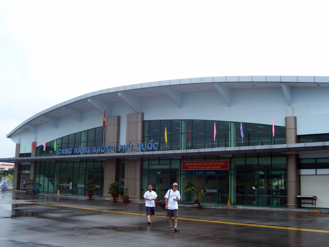
| Phú Quốc airport, 2009 |
IATA: PQC – ICAO: VVPQ |
| Summary |
| Airport type |
Public |
| Operator |
Southern Airports Services Company |
| Location |
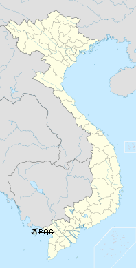
Phu Quoc |
| Elevation AMSL |
23 ft / 7 m |
| Coordinates |
10°13′33″N 103°57′39″E / 10.22583°N 103.96083°E / 10.22583; 103.96083Coordinates: 10°13′33″N 103°57′39″E / 10.22583°N 103.96083°E / 10.22583; 103.96083 |
| Website |
Google Translate |
| Runways |
| Direction |
Length |
Surface |
| ft |
m |
| 08/26 |
6,980 |
2,128 |
Asphalt |
Phu Quoc Airport (IATA: PQC, ICAO: VVPQ) (Vietnamese: Sân bay Phú Quốc) , also known as Duong Dong Airport (Vietnamese: Sân bay Dương Đông) is an airport located in Duong Dong town, Phu Quoc, Kien Giang province, Vietnam. The distance to other airports is 300 km from Tan Son Nhat International Airport (Ho Chi Minh City), 130 km from Rạch Giá, 190 km from Can Tho, 200 km from Ca Mau and 540 km from Lien Khuong.
Most passengers come to Phu Quoc to enjoy the wild, clean and beautiful beaches of Phu Quoc island. There are about 4 flights by ATR72 daily from Ho Chi Minh City's Tan Son Nhat International Airport but on holidays, there are 5-6 flights daily.

Due to the economic development of the island and continuous increase in passengers, a new airport project is planned. The new airport will be built in an area of 8 square kilometers on Phu Quoc island at a cost of US$970 million. Upon completion, this airport will have a paved runway of 3000 m x 50 m, capable to handle medium aircraft like the Airbus A320, A321 and Boeing 767. The new airport will have a capacity of 7 million passengers per year. History
The airport was built by the French colonists in 1930s and further developed during the Vietnam War. The original airstrip had a 996-m-long runway. In 1975, following the fall of Saigon, this airport continued to serve commercial flights. In 1983, it was extended to 1496 m. In 1993, the runway surface was reinforced, a 148.5-m-long taxiway and an apron of 120 x 60 m were added. During 1994-1995, the new terminal was built.
Airlines and destinations
| Airlines |
Destinations |
| Air Mekong |
Hanoi [begins 9 October], Ho Chi Minh City [begins 9 October] |
| Vietnam Airlines |
Can Tho, Ho Chi Minh City, Rach Gia |
The above content comes from Wikipedia and is published under free licenses – click here to read more.
| General Info
|
| Country |
Vietnam
|
| ICAO ID |
VVPQ
|
| Latitude |
10.227025
10° 13' 37.29" N
|
| Longitude |
103.967169
103° 58' 01.81" E
|
| Elevation |
23 feet
7 meters
|
| Magnetic Variation |
000° W (07/06)
|
| Operating Agency |
CIVIL GOVERNMENT, (LANDING FEES AND DIPLOMATIC CLEARANCE MAY BE REQUIRED)
|
| Alternate Name |
DUONG DONG
|
| Communications
|
| TWR |
118.6
118.1
|
| Runways
|
| ID |
Dimensions |
Surface |
PCN |
ILS
|
| 08/26 |
6900 x 95 feet
2103 x 29 meters |
ASPHALT |
018FBYT |
NO
|
| Navaids
|
| Type |
ID |
Name |
Channel |
Freq |
Distance From Field |
Bearing From Navaid
|
| NDB |
PQ |
PHUQUOC |
- |
278 |
At Field |
-
|
The content above was published at Airports-Worldwide.com in 2010.
We don't guarantee the information is fresh and accurate. The data may be wrong or outdated.
For more up-to-date information please refer to other sources.
|
|