|
|
Washington Island Airport |
Washington Island Airport
Washington Island Landing Field |
| IATA: none – ICAO: none – FAA LID: 2P2 |
| Summary |
| Airport type |
Public |
| Owner/Operator |
Town of Washington |
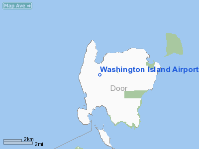
| Location |
Washington, Wisconsin |
| Elevation AMSL |
652 ft / 199 m |
| Coordinates |
45°23′15″N 86°55′30″W / 45.3875°N 86.925°W / 45.3875; -86.925Coordinates: 45°23′15″N 86°55′30″W / 45.3875°N 86.925°W / 45.3875; -86.925 |
| Runways |
| Direction |
Length |
Surface |
| ft |
m |
| 14/32 |
2,230 |
680 |
turf |
| 4/22 |
1,300 |
396 |
turf |
| Statistics (2008) |
| Based A/C |
10 |
| Source: Federal Aviation Administration (FAA) |
Washington Island Airport (FAA LID: 2P2) is a public, general aviation airport located in the Town of Washington in Door County, Wisconsin.
Facilities
Washington Island Airport covers 103 acres (42 ha) and has two runways:
- Runway 14/32: 2,230 x 150 ft (680 x 46 m), Surface: Turf in fair condition
- Runway 4/22: 1,300 x 125 ft (396 x 38 m), Surface: Turf in fair condition
As of September 2008 aircraft operations average 116 per week with 66% transient general aviation, 33% local general aviation and <1% military. There are 10 single engine aircraft based on the field, and no fixed-based operators (FBO's).
The above content comes from Wikipedia and is published under free licenses – click here to read more.
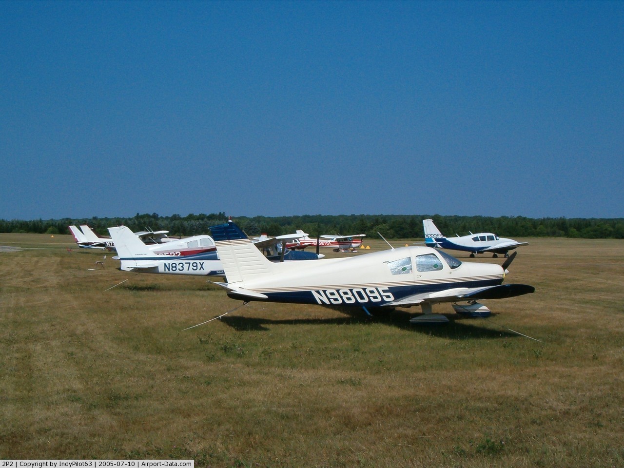
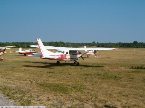
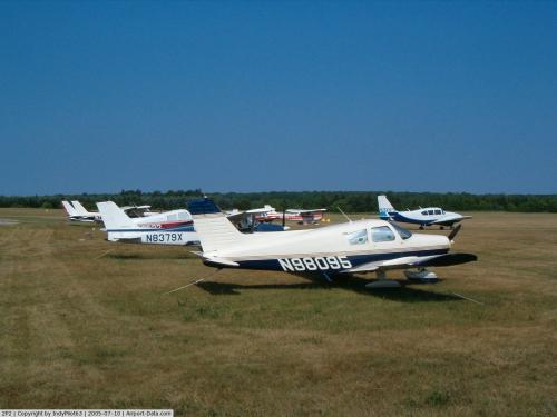 |
(Click on the photo to enlarge) |
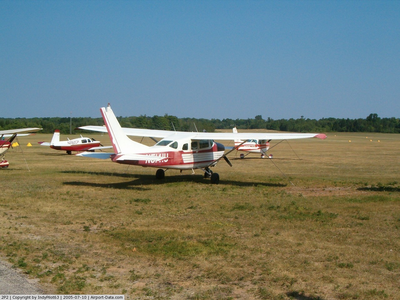
 |
(Click on the photo to enlarge) |
Location & QuickFacts
| FAA Information Effective: | 2008-09-25 |
| Airport Identifier: | 2P2 |
| Airport Status: | Operational |
| Longitude/Latitude: | 086-55-28.1300W/45-23-10.3500N
-86.924481/45.386208 (Estimated) |
| Elevation: | 652 ft / 198.73 m (Estimated) |
| Land: | 103 acres |
| From nearest city: | 1 nautical miles S of Washington Island, WI |
| Location: | Door County, WI |
| Magnetic Variation: | 04W (2000) |
Owner & Manager
| Ownership: | Publicly owned |
| Owner: | Town Of Washington |
| Address: | P.o. Box 220
Washington Island, WI 54246 |
| Phone number: | 920-847-2522 |
| Manager: | Walter Nehlson |
| Address: | Box 99a
Washington Island, WI 54246 |
| Phone number: | 920-847-2147
ARPT PHONE 920-847-2448. |
Airport Operations and Facilities
| Airport Use: | Open to public |
| Wind indicator: | Yes |
| Segmented Circle: | No |
| Control Tower: | No |
| Lighting Schedule: | RDO-CTL
ACTVT LIRL RY 14/32 & ROTATING BCN - CTAF. |
| Beacon Color: | Clear-Green (lighted land airport) |
| Landing fee charge: | No |
| Sectional chart: | Green Bay |
| Region: | AGL - Great Lakes |
| Traffic Pattern Alt: | 1000 ft |
| Boundary ARTCC: | ZMP - Minneapolis |
| Tie-in FSS: | GRB - Green Bay |
| FSS on Airport: | No |
| FSS Toll Free: | 1-800-WX-BRIEF |
| NOTAMs Facility: | GRB (NOTAM-d service avaliable) |
| Federal Agreements: | N |
Airport Communications
Airport Services
| Airframe Repair: | NONE |
| Power Plant Repair: | NONE |
| Bottled Oxygen: | NONE |
| Bulk Oxygen: | NONE |
Runway Information
Runway 04/22
| Dimension: | 1300 x 125 ft / 396.2 x 38.1 m |
| Surface: | TURF, Fair Condition |
| |
Runway 04 |
Runway 22 |
| Traffic Pattern: | Left | Left |
| Runway End Identifier: | No | No |
| Centerline Lights: | No | No |
| Touchdown Lights: | No | No |
| Obstruction: | 47 ft trees, 950.0 ft from runway, 120 ft right of centerline, 20:1 slope to clear | 63 ft trees, 950.0 ft from runway, 150 ft right of centerline, 15:1 slope to clear |
|
Runway 14/32
| Dimension: | 2230 x 150 ft / 679.7 x 45.7 m |
| Surface: | TURF, Fair Condition |
| Edge Lights: | Low |
| |
Runway 14 |
Runway 32 |
| Traffic Pattern: | Left | Left |
| Runway End Identifier: | No | No |
| Centerline Lights: | No | No |
| Touchdown Lights: | No | No |
| Obstruction: | 70 ft trees, 1400.0 ft from runway, 100 ft right of centerline, 20:1 slope to clear | 85 ft trees, 1700.0 ft from runway, 200 ft right of centerline, 20:1 slope to clear |
|
Radio Navigation Aids
| ID |
Type |
Name |
Ch |
Freq |
Var |
Dist |
| SUE | NDB | Sturgeon Bay | | 414.00 | 03W | 39.2 nm |
| ESC | VOR/DME | Escanaba | 045X | 110.80 | 00E | 21.4 nm |
| MNM | VOR/DME | Menominee | 033X | 109.60 | 00E | 33.0 nm |
| ISQ | VOR/DME | Schoolcraft County | 041X | 110.40 | 05W | 47.5 nm |
Remarks
- RY 14/32 +12' RISE IN RY ELEV NW 900 FT.
- NUMEROUS FLOCKS OF WATERFOWL & DEER ON & INVOF ARPT.
- RYS 04/22 & 14/32 PLOWED WHEN SNOW IS OVER 3 INCHES.
- ESTABLISHED PRIOR TO 1959
Images and information placed above are from
http://www.airport-data.com/airport/2P2/
We thank them for the data!
| General Info
|
| Country |
United States
|
| State |
WISCONSIN
|
| FAA ID |
2P2
|
| Latitude |
45-23-10.350N
|
| Longitude |
086-55-28.130W
|
| Elevation |
652 feet
|
| Near City |
WASHINGTON ISLAND
|
We don't guarantee the information is fresh and accurate. The data may
be wrong or outdated.
For more up-to-date information please refer to other sources.
|
|