 |
|
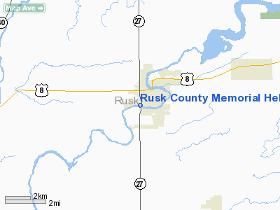
Rusk County Memorial Heliport |
Location & QuickFacts
| FAA Information Effective: | 2008-09-25 |
| Airport Identifier: | 42WI |
| Airport Status: | Operational |
| Longitude/Latitude: | 091-06-36.5280W/45-27-15.8820N
-91.110147/45.454412 (Estimated) |
| Elevation: | 1126 ft / 343.20 m (Estimated) |
| Land: | 0 acres |
| From nearest city: | 1 nautical miles S of Ladysmith, WI |
| Location: | Rusk County, WI |
| Magnetic Variation: | 01E (1990) |
Owner & Manager
| Ownership: | Privately owned |
| Owner: | Rusk County Memorial Hospital |
| Address: | 900 College Ave West
Ladysmith, WI 54848 |
| Phone number: | 715-532-5561 |
| Manager: | Perk Canfield |
| Address: | 900 College Ave West
Ladysmith, WI 54848 |
| Phone number: | 715-532-5561 |
Airport Operations and Facilities
| Airport Use: | Private
MEDICAL USE. |
| Wind indicator: | Yes |
| Segmented Circle: | No |
| Control Tower: | No |
| Lighting Schedule: | PHONE REQ
FOR PERIMETER LGTS PHONE 715-532-5561. |
| Sectional chart: | Green Bay |
| Region: | AGL - Great Lakes |
| Boundary ARTCC: | ZMP - Minneapolis |
| Tie-in FSS: | GRB - Green Bay |
| FSS Toll Free: | 1-800-WX-BRIEF |
Runway Information
Helipad H1
| Dimension: | 50 x 50 ft / 15.2 x 15.2 m |
| Surface: | CONC, |
| |
Runway H1 |
Runway |
| Traffic Pattern: | Left | Left |
|
Radio Navigation Aids
| ID |
Type |
Name |
Ch |
Freq |
Var |
Dist |
| RCX | NDB | Rusk County | | 356.00 | 00W | 5.4 nm |
| PBH | NDB | Phillips | | 263.00 | 00E | 32.9 nm |
| UBE | NDB | Cumberland | | 375.00 | 01E | 36.7 nm |
| SSQ | NDB | Shell Lake | | 212.00 | 01E | 37.8 nm |
| MDZ | NDB | Medford | | 335.00 | 00E | 39.9 nm |
| SLY | NDB | Seeley | | 344.00 | 01E | 41.2 nm |
| PKF | NDB | Park Falls | | 371.00 | 01W | 41.5 nm |
| RPD | VOR/DME | Rice Lake | 037X | 110.00 | 01E | 28.3 nm |
| HYR | VOR/DME | Hayward | 081X | 113.40 | 03E | 36.8 nm |
| EAU | VORTAC | Eau Claire | 076X | 112.90 | 04E | 36.9 nm |
Remarks
- PRVDD APCH/DEP OPS CONDUCTED 150-240 DEGS USING CENTER OF PAD; TREE 250 DEG ADJACENT TO BOILER HOUSE IS REMOVED; TAKEOFF/LDG ARE MKD & SMOKESTACK WEST OF BOILER HOUSE IS OBSTRUCTION LGTD; WIND INDICATOR NEXT TO TAKEOFF/LDG AREA IS MAINTAINED; UNAUTHORIZED PERSONS BE RESTRAINED FROM OPS.
Images and information placed above are from
http://www.airport-data.com/airport/42WI/
We thank them for the data!
| General Info
|
| Country |
United States
|
| State |
WISCONSIN
|
| FAA ID |
42WI
|
| Latitude |
45-27-15.882N
|
| Longitude |
091-06-36.528W
|
| Elevation |
1126 feet
|
| Near City |
LADYSMITH
|
We don't guarantee the information is fresh and accurate. The data may
be wrong or outdated.
For more up-to-date information please refer to other sources.
|
|


