 |
|
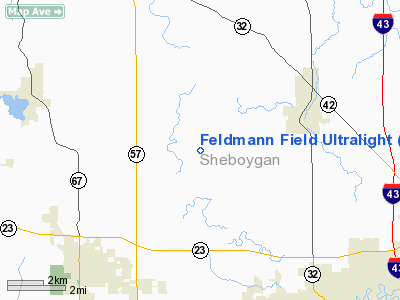
Feldmann Field Ultralight Airport |
Location & QuickFacts
| FAA Information Effective: | 2008-09-25 |
| Airport Identifier: | 4WI6 |
| Airport Status: | Operational |
| Longitude/Latitude: | 087-53-50.3280W/43-48-14.9790N
-87.897313/43.804161 (Estimated) |
| Elevation: | 750 ft / 228.60 m (Estimated) |
| Land: | 10 acres |
| From nearest city: | 1 nautical miles E of Sheboygan Falls, WI |
| Location: | Sheboygan County, WI |
| Magnetic Variation: | 01W (1985) |
Owner & Manager
| Ownership: | Privately owned |
| Owner: | Palmer Feldmann |
| Address: | Rt 1
Sheboygan Falls, WI 53085 |
| Phone number: | 414-467-4385 |
| Manager: | Palmer Feldmann |
| Address: | Rt 1
Sheboygan Falls, WI 53085 |
| Phone number: | 414-467-3638 |
Airport Operations and Facilities
| Airport Use: | Private |
| Wind indicator: | Yes |
| Segmented Circle: | No |
| Control Tower: | No |
| Sectional chart: | Chicago |
| Region: | AGL - Great Lakes |
| Boundary ARTCC: | ZAU - Chicago |
| Tie-in FSS: | GRB - Green Bay |
| FSS on Airport: | No |
| FSS Toll Free: | 1-800-WX-BRIEF |
Runway Information
Runway N/S
| Dimension: | 1200 x 15 ft / 365.8 x 4.6 m |
| Surface: | TURF, |
| |
Runway N |
Runway S |
| Traffic Pattern: | Left | Left |
| Obstruction: | 50 ft trees | 30 ft pline |
|
Radio Navigation Aids
| ID |
Type |
Name |
Ch |
Freq |
Var |
Dist |
| LLE | NDB | Kettle Moraine | | 329.00 | 01W | 24.9 nm |
| AQ | NDB | Kooky | | 407.00 | 02W | 32.9 nm |
| HXF | NDB | Hartford | | 200.00 | 00E | 35.0 nm |
| SG | NDB | Depre | | 332.00 | 02W | 37.1 nm |
| UNU | NDB | Juneau | | 344.00 | 01W | 41.7 nm |
| BL | NDB | Yanks | | 260.00 | 02W | 44.7 nm |
| UES | NDB | Waukesha | | 359.00 | 01W | 48.0 nm |
| BJB | VOR | West Bend | | 109.80 | 01W | 25.0 nm |
| FAH | VOR/DME | Falls | 37X | 110.00 | 02W | 3.0 nm |
| MTW | VOR/DME | Manitowoc | 047X | 111.00 | 02W | 21.6 nm |
| LJT | VOR/DME | Timmerman | 072X | 112.50 | 02W | 42.2 nm |
| OSH | VORTAC | Oshkosh | 055X | 111.80 | 02E | 30.6 nm |
| BAE | VORTAC | Badger | 111X | 116.40 | 02E | 44.6 nm |
| GRB | VORTAC | Green Bay | 102X | 115.50 | 01E | 46.9 nm |
Remarks
- OWNER DESIRES ARPT NOT TO BE CHARTED.
- PROVIDED ADEQUATE CLEARANCE EXISTS OVER ANY/ALL OBSTRUCTIONS IN APPROACH SURFACES.
Images and information placed above are from
http://www.airport-data.com/airport/4WI6/
We thank them for the data!
| General Info
|
| Country |
United States
|
| State |
WISCONSIN
|
| FAA ID |
4WI6
|
| Latitude |
43-48-14.979N
|
| Longitude |
087-53-50.328W
|
| Elevation |
750 feet
|
| Near City |
SHEBOYGAN FALLS
|
We don't guarantee the information is fresh and accurate. The data may
be wrong or outdated.
For more up-to-date information please refer to other sources.
|
|


