|
|
Yakima Air Terminal/mcallister Field Airport |
Yakima Air Terminal
McAllister Field |
 |
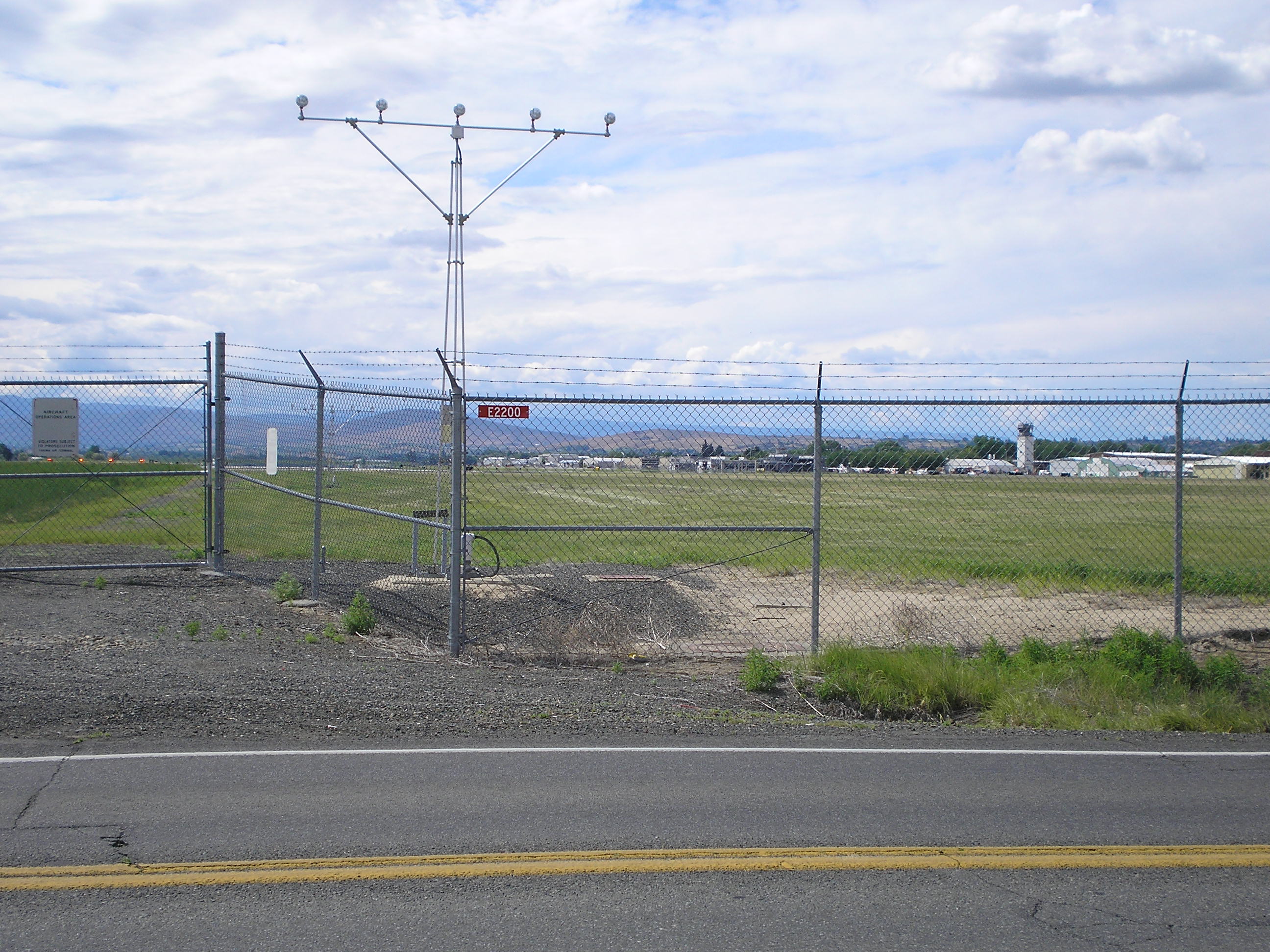
| Photo from the east, June 2006. |
| IATA: YKM – ICAO: KYKM – FAA LID: YKM |
| Summary |
| Airport type |
Public |
| Owner |
City and County of Yakima |
| Serves |
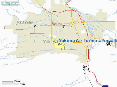
Yakima, Washington |
| Elevation AMSL |
1,099 ft / 335 m |
| Coordinates |
46°34′05″N 120°32′39″W / 46.56806°N 120.54417°W / 46.56806; -120.54417 |
| Website |
YakimaAirTerminal.com |
| Runways |
| Direction |
Length |
Surface |
| ft |
m |
| 9/27 |
7,604 |
2,318 |
Asphalt |
| 4/22 |
3,835 |
1,169 |
Asphalt |
| Statistics (2008) |
| Aircraft operations |
49,722 |
| Based aircraft |
162 |
| Source: Federal Aviation Administration |
FAA Airport Diagram Yakima Air Terminal (IATA: YKM, ICAO: KYKM, FAA LID: YKM), also known as McAllister Field, is a public use airport located three nautical miles (6 km) south of the central business district of Yakima, a city in Yakima County, Washington, United States. It is owned by the City and County of Yakima. The airport is mostly used for general aviation, but is also served by one commercial airline. History
During World War II the airfield was used by the United States Army Air Force
Facilities and aircraft
Yakima Air Terminal/McAllister Field covers an area of 825 acres (334 ha) at an elevation of 1,099 feet (335 m) above mean sea level. It has two asphalt paved runways: 9/27 is 7,604 by 150 feet (2,318 x 46 m) and 4/22 is 3,835 by 150 feet (1,169 x 46 m).
For the 12-month period ending October 31, 2008, the airport had 49,722 aircraft operations, an average of 136 per day: 75% general aviation, 20% air taxi, 4% military and <1% scheduled commercial. At that time there were 162 aircraft based at this airport: 85% single-engine, 11% multi-engine, 2% jet and 1% helicopter.
The airport is also home to the aircraft manufacturer Cub Crafters. Cub Crafters is a leader in the light sport and light utility aircaft industry. www.cubcrafters.com
Airlines and destinations
| Airlines |
Destinations |
| Horizon Air |
Seattle/Tacoma |
The above content comes from Wikipedia and is published under free licenses – click here to read more.
Location & QuickFacts
| FAA Information Effective: | 2008-09-25 |
| Airport Identifier: | YKM |
| Airport Status: | Operational |
| Longitude/Latitude: | 120-32-38.6000W/46-34-05.4000N
-120.544056/46.568167 (Estimated) |
| Elevation: | 1099 ft / 334.98 m (Surveyed) |
| Land: | 825 acres |
| From nearest city: | 3 nautical miles S of Yakima, WA |
| Location: | Yakima County, WA |
| Magnetic Variation: | 21E (1975) |
Owner & Manager
| Ownership: | Publicly owned |
| Owner: | City And County Of Yakima |
| Address: | 2400 West Washington Ave
Yakima, WA 98903 |
| Phone number: | 509-575-6150 |
| Manager: | Buck Taylor |
| Address: | 2400 West Washington Ave
Yakima, WA 98903 |
| Phone number: | 509-575-6150 |
Airport Operations and Facilities
| Airport Use: | Open to public |
| Wind indicator: | Yes |
| Segmented Circle: | Yes |
| Control Tower: | Yes |
| Lighting Schedule: | DUSK-DAWN
WHEN ATCT CLSD ACTVT HIRL RY 09/27; MALSR RY 27 - CTAF. |
| Beacon Color: | Clear-Green (lighted land airport) |
| Landing fee charge: | No |
| Sectional chart: | Seattle |
| Region: | ANM - Northwest Mountain |
| Boundary ARTCC: | ZSE - Seattle |
| Tie-in FSS: | SEA - Seattle |
| FSS on Airport: | No |
| FSS Toll Free: | 1-800-WX-BRIEF |
| NOTAMs Facility: | YKM (NOTAM-d service avaliable) |
| Certification type/date: | I A S 05/1973
PPR FOR UNSKED ACR OPNS WITH MORE THAN 30 PSGR SEATS CALL AMGR 509-575-6149/6014. |
| Federal Agreements: | NGY3 |
Airport Communications
| CTAF: | 133.250 |
| Unicom: | 122.950 |
Airport Services
| Fuel available: | 100LLA |
| Airframe Repair: | MAJOR |
| Power Plant Repair: | MAJOR |
| Bottled Oxygen: | HIGH |
| Bulk Oxygen: | HIGH |
Runway Information
Runway 04/22
| Dimension: | 3835 x 150 ft / 1168.9 x 45.7 m |
| Surface: | ASPH, Fair Condition
RY 04/22 SOME SPALLING AND RAVELING. |
| Surface Treatment: | Porous Friction Course |
| Pavement Class: | 28 /F/C/X/T |
| Weight Limit: | Single wheel: 70000 lbs.
Dual wheel: 80000 lbs.
Dual tandem wheel: 120000 lbs. |
| Edge Lights: | Medium |
| |
Runway 04 |
Runway 22 |
| Longitude: | 120-32-53.2853W | 120-32-05.8118W |
| Latitude: | 46-33-50.0394N | 46-34-09.0265N |
| Elevation: | 1076.00 ft | 1056.00 ft |
| Alignment: | 60 | 127 |
| Traffic Pattern: | Left | Left |
| Markings: | Basic, Good Condition | Basic, Good Condition |
| Crossing Height: | 50.00 ft | 47.00 ft |
| VASI: | 4-light PAPI on left side | 4-light PAPI on left side |
| Visual Glide Angle: | 3.00° | 3.00° |
| Runway End Identifier: | Yes | Yes |
|
Runway 09/27
| Dimension: | 7604 x 150 ft / 2317.7 x 45.7 m |
| Surface: | ASPH, Good Condition
RY 04/22 SOME SPALLING AND RAVELING. |
| Surface Treatment: | Porous Friction Course |
| Pavement Class: | 33 /F/C/X/T |
| Weight Limit: | Single wheel: 95000 lbs.
Dual wheel: 160000 lbs.
Dual tandem wheel: 220000 lbs.
Dual dual tandem wheel: 550000 lbs. |
| Edge Lights: | High |
| |
Runway 09 |
Runway 27 |
| Longitude: | 120-33-34.3546W | 120-31-52.0797W |
| Latitude: | 46-34-21.1873N | 46-33-55.5310N |
| Elevation: | 1099.00 ft | 1049.00 ft |
| Alignment: | 110 | 127 |
| ILS Type: | | ILS
|
| Traffic Pattern: | Left | Left |
| Markings: | Non-precision instrument, Good Condition | Precision instrument, Good Condition |
| Crossing Height: | 50.00 ft | 59.00 ft |
| VASI: | 4-box on left side | 4-light PAPI on left side |
| Visual Glide Angle: | 3.00° | 3.00° |
| RVR Equipment: | | touchdown |
| Approach lights: | | MALSR |
| Runway End Identifier: | Yes | |
| Obstruction: | , 34:1 slope to clear | 9 ft road, 550.0 ft from runway, 33:1 slope to clear |
|
Radio Navigation Aids
| ID |
Type |
Name |
Ch |
Freq |
Var |
Dist |
| YKM | VORTAC | Yakima | 107X | 116.00 | 21E | 4.1 nm |
| ELN | VORTAC | Ellensburg | 126X | 117.90 | 21E | 27.6 nm |
Remarks
- BE ALERT: BIRDS IN VICINTY OF YAKIMA RIVER 5 NM E OF APCH TO 27.
- TWY B FM APCH END OF RY 22 TO TWY A RESTRICTED TO ACFT WITH WINGSPANS OF 79 FT OR LESS.
- ESTABD PRIOR TO 15 MAY 1959.
Images and information placed above are from
http://www.airport-data.com/airport/YKM/
We thank them for the data!
| General Info
|
| Country |
United States
|
| State |
WASHINGTON
|
| FAA ID |
YKM
|
| Latitude |
46-34-05.411N
|
| Longitude |
120-32-38.614W
|
| Elevation |
1095 feet
|
| Near City |
YAKIMA
|
We don't guarantee the information is fresh and accurate. The data may
be wrong or outdated.
For more up-to-date information please refer to other sources.
|
|