|
|
William R Fairchild Intl Airport |
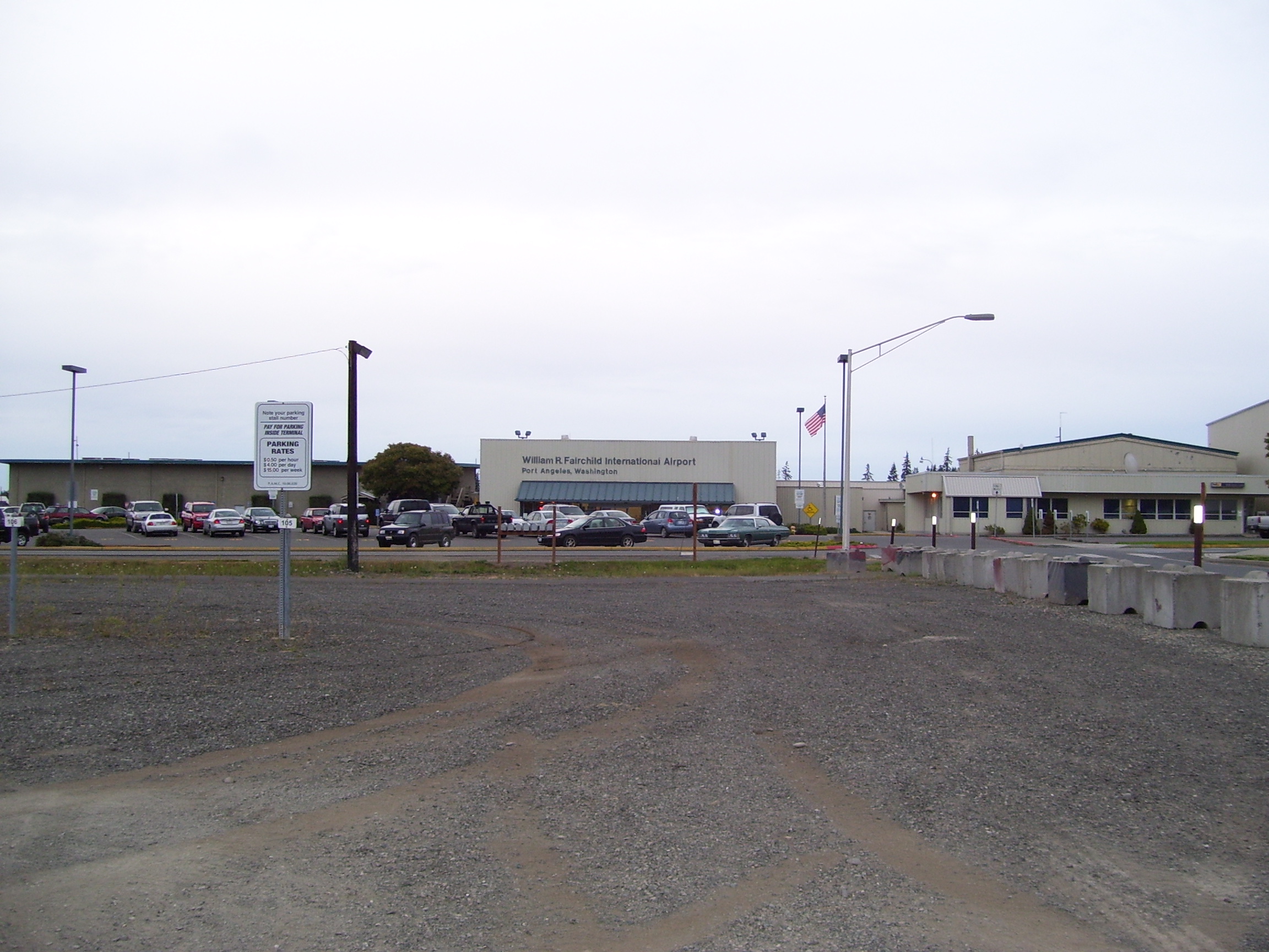
| William R. Fairchild International Airport |
 |
| Main terminal |
| IATA: CLM – ICAO: KCLM – FAA LID: CLM |
| Summary |
| Airport type |
Public |
| Owner |
Port of Port Angeles |
| Serves |
Port Angeles, Washington |
| Elevation AMSL |
291 ft / 89 m |
| Coordinates |
48°07′13″N 123°29′59″W / 48.12028°N 123.49972°W / 48.12028; -123.49972 |
| Runways |
| Direction |
Length |
Surface |
| ft |
m |
| 8/26 |
6,347 |
1,935 |
Asphalt |
| 13/31 |
3,245 |
989 |
Asphalt |
| Statistics (2005) |
| Aircraft operations |
52,675 |
| Based aircraft |
85 |
| Source: Federal Aviation Administration |
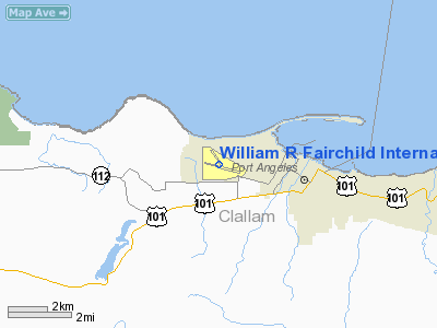
William R. Fairchild International Airport (IATA: CLM, ICAO: KCLM, FAA LID: CLM) is a public airport located within the city limits of Port Angeles, in Clallam County, Washington, United States. It lies three nautical miles (6 km) northwest of the central business district of Port Angeles, near the Strait of Juan de Fuca. The airport is owned by the Port of Port Angeles. History
The airport was developed from 1934 through 1948 by the Works Progress Administration, the U.S. Army and the U.S. Navy. It was named Clallam County Municipal Landing Field when ownership was given to Clallam County in 1948. Three years later the county transferred the airport to the Port of Port Angeles. In 1953, William R. Fairchild started the Angeles Flying Service and became the first airport supervisor. The airport was renamed in his honor in 1969, following his death in a tragic aircraft accident.
Facilities and aircraft
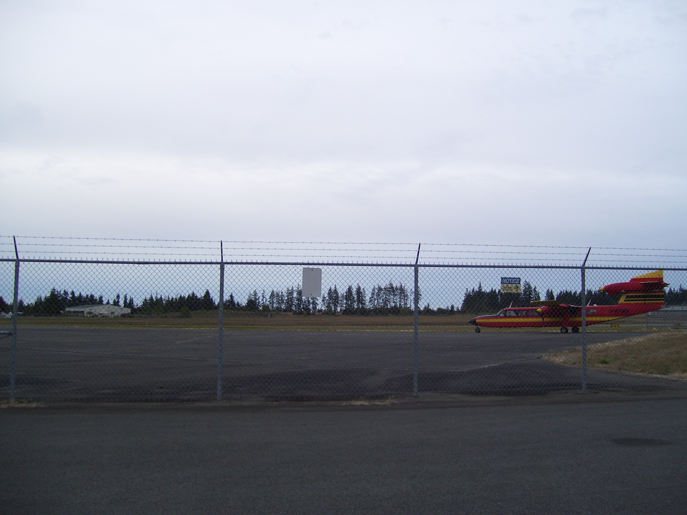
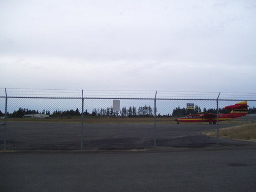 | |
Tarmac with a Britten Norman Trislander aircraft |
William R. Fairchild International Airport covers an area of 797 acres (323 ha) at an elevation of 291 feet (89 m) above mean sea level. It has two asphalt paved runways: 8/26 is 6,347 by 150 feet (1,935 x 46 m) and 13/31 is 3,245 by 50 feet (989 x 15 m). The primary runway is operated with an Instrument Landing System and can handle aircraft up to Boeing 737s.
For the 12-month period ending February 1, 2005, the airport had 52,675 aircraft operations, an average of 144 per day: 88% general aviation, 12% air taxi, and <1% military. At that time there were 85 aircraft based at this airport: 92% single-engine, 6% multi-engine and 2% helicopter. Airlines and destinations
Scheduled service
- Kenmore Air (Seattle-Boeing Field)
Charter
- Right Brothers Aviation (Pacific Northwest and Western Canada)
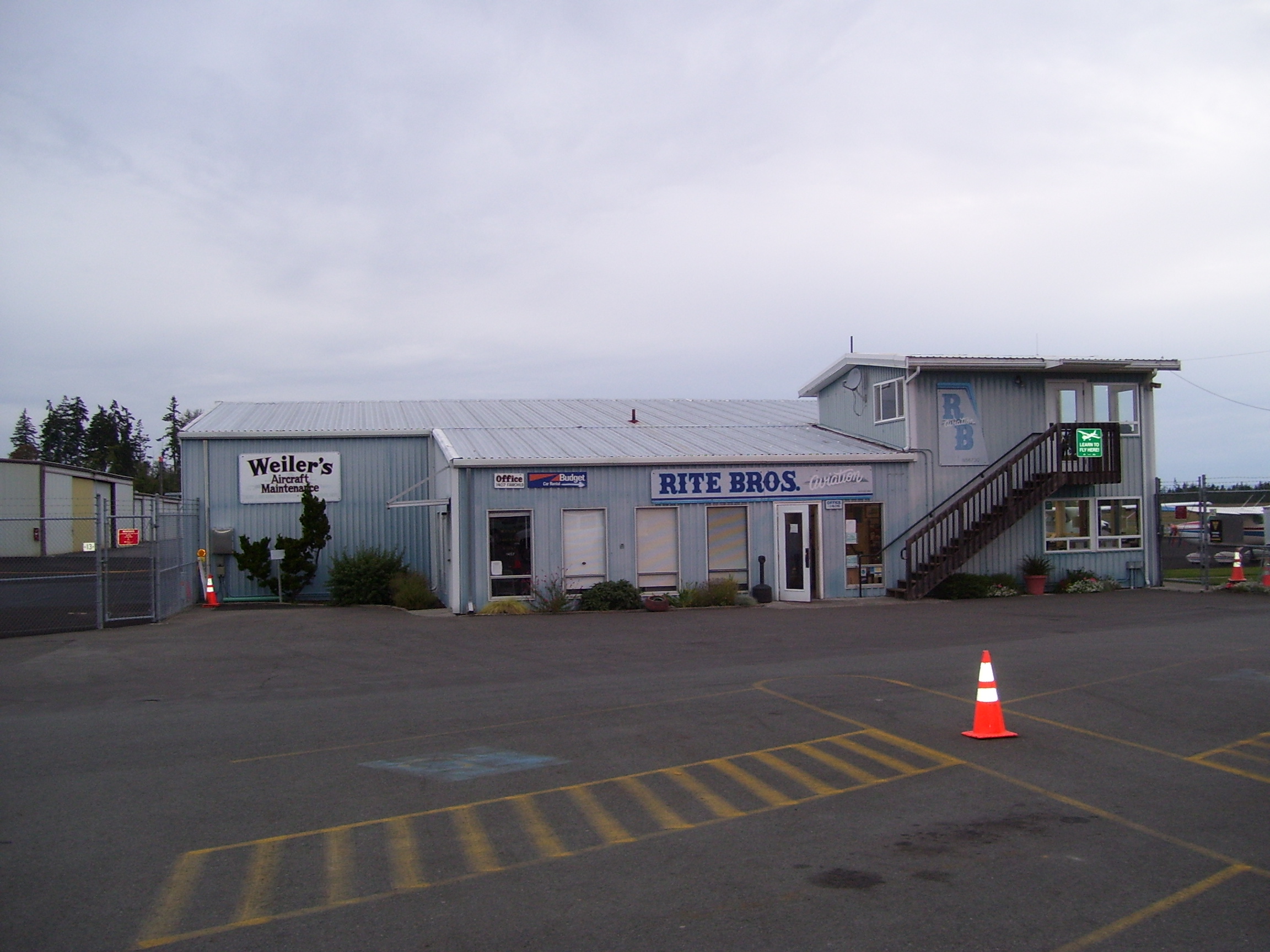
 | |
Rite Brothers Terminal |
The above content comes from Wikipedia and is published under free licenses – click here to read more.
Location & QuickFacts
| FAA Information Effective: | 2008-09-25 |
| Airport Identifier: | CLM |
| Airport Status: | Operational |
| Longitude/Latitude: | 123-29-58.9000W/48-07-12.7000N
-123.499694/48.120194 (Estimated) |
| Elevation: | 291 ft / 88.70 m (Surveyed) |
| Land: | 797 acres |
| From nearest city: | 3 nautical miles NW of Port Angeles, WA |
| Location: | Clallam County, WA |
| Magnetic Variation: | 22E (1980) |
Owner & Manager
| Ownership: | Publicly owned |
| Owner: | Port Of Port Angeles |
| Address: | Po Box 1350
Port Angeles, WA 98362 |
| Phone number: | 360-457-8527 |
| Manager: | Jeff Robb |
| Address: | Po Box 1350
Port Angeles, WA 98362 |
| Phone number: | 360-457-1138 |
Airport Operations and Facilities
| Airport Use: | Open to public |
| Wind indicator: | Yes |
| Segmented Circle: | Yes |
| Control Tower: | No |
| Lighting Schedule: | DUSK-DAWN
ACTVT MIRL RY 08/26 & MALSR RY 08 - CTAF. |
| Beacon Color: | Clear-Green (lighted land airport) |
| Landing fee charge: | No |
| Sectional chart: | Seattle |
| Region: | ANM - Northwest Mountain |
| Boundary ARTCC: | ZSE - Seattle |
| Tie-in FSS: | SEA - Seattle |
| FSS on Airport: | No |
| FSS Toll Free: | 1-800-WX-BRIEF |
| NOTAMs Facility: | CLM (NOTAM-d service avaliable) |
| Certification type/date: | I A S 04/1986
PPR FOR UNSKED ACR OPNS WITH MORE THAN 30 PSGR SEATS AND ULTRALIGHT OPERATIONS CALL AMGR 360-457-1138. |
| Federal Agreements: | NGPY3 |
Airport Communications
| CTAF: | 123.000 |
| Unicom: | 122.975 |
Airport Services
| Fuel available: | 100LLA
FOR AFTER HOURS JET A CALL 360-452-6206 |
| Airframe Repair: | MAJOR |
| Power Plant Repair: | MAJOR |
Runway Information
Runway 08/26
| Dimension: | 6347 x 150 ft / 1934.6 x 45.7 m |
| Surface: | ASPH, Good Condition |
| Surface Treatment: | Saw-cut or plastic Grooved |
| Weight Limit: | Single wheel: 55000 lbs.
Dual wheel: 66000 lbs.
Dual tandem wheel: 115000 lbs. |
| Edge Lights: | Medium |
| |
Runway 08 |
Runway 26 |
| Longitude: | 123-30-41.4560W | 123-29-10.9260W |
| Latitude: | 48-07-15.7290N | 48-06-59.9600N |
| Elevation: | 284.00 ft | 291.00 ft |
| Alignment: | 105 | 127 |
| ILS Type: | ILS
| |
| Traffic Pattern: | Left | Right |
| Markings: | Precision instrument, Good Condition | Non-precision instrument, Good Condition |
| Crossing Height: | 47.00 ft | 49.00 ft |
| Displaced threshold: | 0.00 ft | 1354.00 ft |
| VASI: | 4-box on left side | 2-box SAVASI on left side |
| Visual Glide Angle: | 3.00° | 4.00° |
| Approach lights: | MALSR | |
| Runway End Identifier: | | Yes |
| Obstruction: | 87 ft trees, 3050.0 ft from runway, 900 ft right of centerline, 32:1 slope to clear | 19 ft ant, 300.0 ft from runway, 300 ft right of centerline, 15:1 slope to clear
+35' BLDG; DIST 520'; 500' LEFT; 15:1 BASED ON DSPLCD THR. |
|
Runway 13/31
| Dimension: | 3245 x 50 ft / 989.1 x 15.2 m |
| Surface: | ASPH, Good Condition |
| Weight Limit: | Single wheel: 30000 lbs. |
| Edge Lights: | Low |
| |
Runway 13 |
Runway 31 |
| Longitude: | 123-30-17.1350W | 123-29-51.4780W |
| Latitude: | 48-07-35.6410N | 48-07-08.6140N |
| Elevation: | 227.00 ft | 271.00 ft |
| Alignment: | 127 | 127 |
| Traffic Pattern: | Left | Right |
| Markings: | Basic, Good Condition | Basic, Good Condition |
| Obstruction: | 17 ft trees, 450.0 ft from runway, 14:1 slope to clear | 139 ft trees, 2900.0 ft from runway, 19:1 slope to clear |
|
Radio Navigation Aids
| ID |
Type |
Name |
Ch |
Freq |
Var |
Dist |
| CL | NDB | Elwha | | 515.00 | 22E | 7.1 nm |
| FHR | NDB | Friday Harbor | | 284.00 | 20E | 30.9 nm |
| OPZ | NDB | Lopez Island | | 356.00 | 21E | 31.6 nm |
| YJ | NDB | Victoria | | 200.00 | 21E | 31.8 nm |
| MB | NDB | Mill Bay | | 293.00 | 21E | 33.1 nm |
| AP | NDB | Active Pass | | 378.00 | 21E | 46.1 nm |
| BVS | NDB | Skagit/bay View | | 240.00 | 21E | 48.0 nm |
| PWT | NDB | Kitsap | | 206.00 | 20E | 48.2 nm |
| NUW | TACAN | Whidbey Island | 085X | | 21E | 36.4 nm |
| CVV | VOR/DME | Penn Cove | 119X | 117.20 | 19E | 32.0 nm |
| YYJ | VOR/DME | Victoria | 084X | 113.70 | 21E | 36.5 nm |
| TOU | VORTAC | Tatoosh | 059X | 112.20 | 22E | 46.4 nm |
Remarks
- INCRD BIRD ACTIVITY DUE TO WASTE LANDFILL LCTD 1/2 MI NW AER 08.
Images and information placed above are from
http://www.airport-data.com/airport/CLM/
We thank them for the data!
| General Info
|
| Country |
United States
|
| State |
WASHINGTON
|
| FAA ID |
CLM
|
| Latitude |
48-07-12.700N
|
| Longitude |
123-29-58.900W
|
| Elevation |
291 feet
|
| Near City |
PORT ANGELES
|
We don't guarantee the information is fresh and accurate. The data may
be wrong or outdated.
For more up-to-date information please refer to other sources.
|
|