 |
|
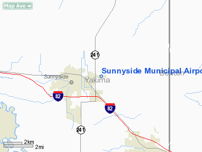
Location & QuickFacts
| FAA Information Effective: | 2008-09-25 |
| Airport Identifier: | 1S5 |
| Airport Status: | Operational |
| Longitude/Latitude: | 119-58-13.3000W/46-19-37.5000N
-119.970361/46.327083 (Estimated) |
| Elevation: | 768 ft / 234.09 m (Surveyed) |
| Land: | 81 acres |
| From nearest city: | 2 nautical miles E of Sunnyside, WA |
| Location: | Yakima County, WA |
| Magnetic Variation: | 19E (1985) |
Owner & Manager
| Ownership: | Publicly owned |
| Owner: | City Of Sunnyside |
| Address: | City Hall, 818 East Edison Avenue
Sunnyside, WA 98944 |
| Phone number: | 509-837-5206 |
| Manager: | James Briges |
| Address: | 818 East Edison Avenue
Sunnyside, WA 98944 |
| Phone number: | 509-837-5206 |
Airport Operations and Facilities
| Airport Use: | Open to public |
| Wind indicator: | Yes |
| Segmented Circle: | Yes |
| Control Tower: | No |
| Lighting Schedule: | DUSK-DAWN |
| Beacon Color: | Clear-Green (lighted land airport) |
| Landing fee charge: | No |
| Sectional chart: | Seattle |
| Region: | ANM - Northwest Mountain |
| Boundary ARTCC: | ZSE - Seattle |
| Tie-in FSS: | SEA - Seattle |
| FSS on Airport: | No |
| FSS Toll Free: | 1-800-WX-BRIEF |
| NOTAMs Facility: | SEA (NOTAM-d service avaliable) |
| Federal Agreements: | NGY |
Airport Communications
Airport Services
| Fuel available: | 100LL |
| Bottled Oxygen: | NONE |
| Bulk Oxygen: | NONE |
Runway Information
Runway 07/25
| Dimension: | 3423 x 60 ft / 1043.3 x 18.3 m |
| Surface: | ASPH, Good Condition |
| Weight Limit: | Single wheel: 12500 lbs. |
| Edge Lights: | Low |
| |
Runway 07 |
Runway 25 |
| Longitude: | 119-58-37.6970W | 119-57-48.9212W |
| Latitude: | 46-19-37.5569N | 46-19-37.3707N |
| Elevation: | 746.00 ft | 768.00 ft |
| Alignment: | 90 | 127 |
| Traffic Pattern: | Left | Left |
| Markings: | Basic, Good Condition | Basic, Good Condition |
| VASI: | 2-light PAPI on left side | 2-light PAPI on left side |
| Visual Glide Angle: | 3.00° | 3.00° |
| Obstruction: | 21 ft road, 331.0 ft from runway, 6:1 slope to clear | 46 ft pole, 1437.0 ft from runway, 21 ft right of centerline, 26:1 slope to clear |
|
Radio Navigation Aids
| ID |
Type |
Name |
Ch |
Freq |
Var |
Dist |
| PSC | VOR/DME | Pasco | 021X | 108.40 | 20E | 35.7 nm |
| YKM | VORTAC | Yakima | 107X | 116.00 | 21E | 24.5 nm |
| ELN | VORTAC | Ellensburg | 126X | 117.90 | 21E | 46.5 nm |
Remarks
- ALL ARPT PROPERTY IS USED FOR AGRI PURPOSES WI 20' OF RY.
- RETRO-REFLECTIVE DEVICES ALONG TWYS.
- ESTABD PRIOR TO 15 MAY 1959.
Images and information placed above are from
http://www.airport-data.com/airport/1S5/
We thank them for the data!
| General Info
|
| Country |
United States
|
| State |
WASHINGTON
|
| FAA ID |
1S5
|
| Latitude |
46-19-39.473N
|
| Longitude |
119-58-14.147W
|
| Elevation |
764 feet
|
| Near City |
SUNNYSIDE
|
We don't guarantee the information is fresh and accurate. The data may
be wrong or outdated.
For more up-to-date information please refer to other sources.
|
|


