|
|
| Skagit Regional Airport |
| IATA: MVW – ICAO: KBVS – FAA LID: BVS |
| Summary |
| Airport type |
Public |
| Owner |
Port of Skagit County |
| Location |
Burlington / Mount Vernon, Washington |
| Elevation AMSL |
144 ft / 44 m |
| Coordinates |
48°28′15″N 122°25′15″W / 48.47083°N 122.42083°W / 48.47083; -122.42083 |
| Runways |
| Direction |
Length |
Surface |
| ft |
m |
| 4/22 |
3,000 |
914 |
Asphalt |
| 10/28 |
5,477 |
1,669 |
Asphalt |
| Statistics (2006) |
| Aircraft operations |
58,100 |
| Based aircraft |
151 |
| Source: Federal Aviation Administration |
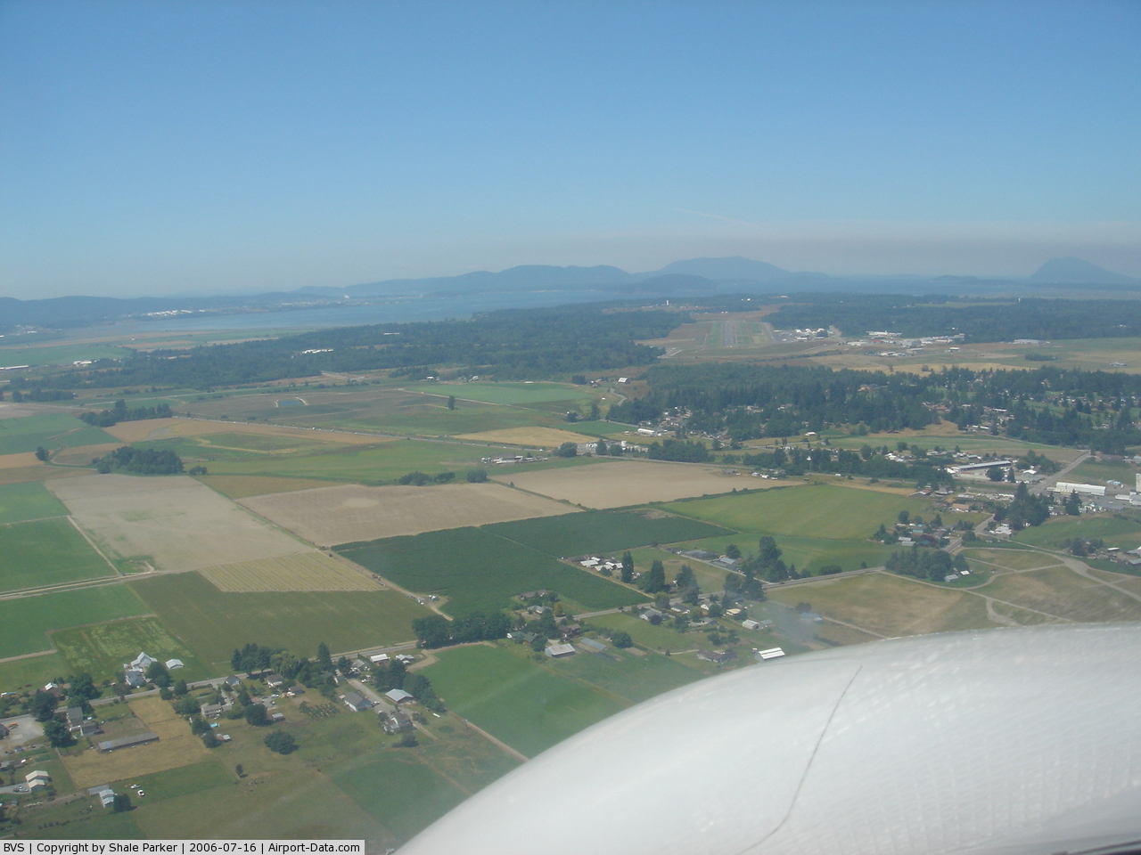
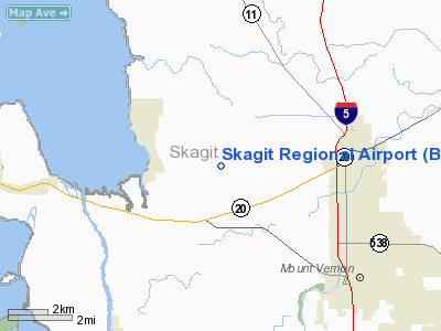
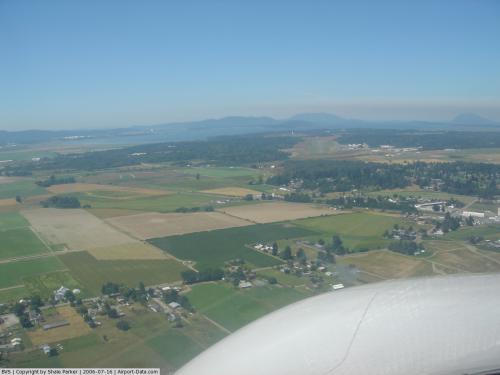
Skagit Regional Airport (IATA: MVW, ICAO: KBVS, FAA LID: BVS) is a public airport located three miles (5 km) west of the central business district of Burlington and northwest of Mount Vernon, both cities in Skagit County, Washington, United States. The airport is owned by the Port of Skagit County. It is situated in the Bayview Industrial Park.
Although most U.S. airports use the same three-letter location identifier for the FAA and IATA, Skagit Regional Airport is assigned BVS by the FAA and MVW by the IATA (which assigned BVS to Breves, Pará, Brazil).
Facilities and aircraft
Skagit Regional Airport covers an area of 1,835 acres (743 ha) which contains two asphalt paved runways with pilot activated lights: 10/28 measuring: 5,477 x 100 ft (1,669 x 30 m) and 4/22: 3,000 x 60 ft (914 x 18 m).
For the 12-month period ending October 31, 2006, the airport had 58,100 aircraft operations, an average of 159 per day: 96% general aviation, 3% air taxi and <1% military. At that time there were 151 aircraft based at this airport: 91% single engine, 2% multi-engine, 7% jet aircraft and 1% ultralights.
In the 1980s, Harbor Airlines operated commercial passenger flights into and out of MVW to Seattle-Tacoma International and to Oak Harbor, WA, using Britten-Norman Islander aircraft.
The above content comes from Wikipedia and is published under free licenses – click here to read more.
 |
(Click on the photo to enlarge) |
Location & QuickFacts
| FAA Information Effective: | 2008-09-25 |
| Airport Identifier: | BVS |
| Airport Status: | Operational |
| Longitude/Latitude: | 122-25-15.1000W/48-28-15.2000N
-122.420861/48.470889 (Estimated) |
| Elevation: | 144 ft / 43.89 m (Surveyed) |
| Land: | 1835 acres |
| From nearest city: | 3 nautical miles W of Burlington/mount Vernon, WA |
| Location: | Skagit County, WA |
| Magnetic Variation: | 21E (1985) |
Owner & Manager
| Ownership: | Publicly owned |
| Owner: | Port Of Skagit County |
| Address: | 15400 Airport Dr, Po Box 348
Burlington, WA 98233 |
| Phone number: | 360-757-0011 |
| Manager: | Patsy Martin |
| Address: | Po Box 348, 15400 Airport Dr
Burlington, WA 98233 |
| Phone number: | 360-757-0011 |
Airport Operations and Facilities
| Airport Use: | Open to public |
| Wind indicator: | Yes |
| Segmented Circle: | Yes |
| Control Tower: | No |
| Lighting Schedule: | DUSK-DAWN
ACTVT MIRL RY 10/28, LIRL RY 04/22, VASI & REIL RYS 10 & 28, - CTAF. PAPI RYS 04 & 22 OPR CONTINUOUSLY. |
| Beacon Color: | Clear-Green (lighted land airport) |
| Landing fee charge: | No |
| Sectional chart: | Seattle |
| Region: | ANM - Northwest Mountain |
| Traffic Pattern Alt: | 1000 ft |
| Boundary ARTCC: | ZSE - Seattle |
| Tie-in FSS: | SEA - Seattle |
| FSS on Airport: | No |
| FSS Toll Free: | 1-800-WX-BRIEF |
| NOTAMs Facility: | BVS (NOTAM-d service avaliable) |
| Federal Agreements: | NGPY |
Airport Communications
| CTAF: | 123.075 |
| Unicom: | 123.075 |
Airport Services
| Fuel available: | 100LLA |
| Airframe Repair: | MAJOR |
| Power Plant Repair: | MAJOR |
| Bottled Oxygen: | NONE |
| Bulk Oxygen: | NONE |
Runway Information
Runway 04/22
| Dimension: | 3000 x 60 ft / 914.4 x 18.3 m |
| Surface: | ASPH, Good Condition |
| Weight Limit: | Single wheel: 17000 lbs. |
| Edge Lights: | Low |
| |
Runway 04 |
Runway 22 |
| Longitude: | 122-25-27.2073W | 122-24-50.1064W |
| Latitude: | 48-27-50.6180N | 48-28-06.9820N |
| Elevation: | 84.00 ft | 97.00 ft |
| Alignment: | 56 | 127 |
| Traffic Pattern: | Left | Left |
| Markings: | Basic, Good Condition | Basic, Good Condition |
| Crossing Height: | 40.00 ft | 40.00 ft |
| VASI: | 2-light PAPI on left side | 2-light PAPI on right side |
| Visual Glide Angle: | 3.00° | 3.00° |
|
Runway 10/28
| Dimension: | 5477 x 100 ft / 1669.4 x 30.5 m |
| Surface: | ASPH, Good Condition |
| Weight Limit: | Single wheel: 19000 lbs. |
| Edge Lights: | Medium |
| |
Runway 10 |
Runway 28 |
| Longitude: | 122-25-51.3178W | 122-24-45.9371W |
| Latitude: | 48-28-40.2277N | 48-28-08.1266N |
| Elevation: | 144.00 ft | 98.00 ft |
| Alignment: | 126 | 127 |
| Traffic Pattern: | Left | Left |
| Markings: | Non-precision instrument, Good Condition | Non-precision instrument, Good Condition |
| Crossing Height: | 40.00 ft | 46.00 ft |
| VASI: | 4-box on left side | 2-box on left side |
| Visual Glide Angle: | 3.00° | 3.50° |
| Runway End Identifier: | Yes | Yes |
|
Radio Navigation Aids
| ID |
Type |
Name |
Ch |
Freq |
Var |
Dist |
| BVS | NDB | Skagit/bay View | | 240.00 | 21E | 0.2 nm |
| OPZ | NDB | Lopez Island | | 356.00 | 21E | 19.9 nm |
| FHR | NDB | Friday Harbor | | 284.00 | 20E | 24.4 nm |
| XX | NDB | Abbotsford | | 344.00 | 21E | 32.8 nm |
| WC | NDB | White Rock | | 332.00 | 21E | 34.3 nm |
| LU | NDB | Cultus | | 214.00 | 22E | 36.2 nm |
| YJ | NDB | Victoria | | 200.00 | 21E | 40.3 nm |
| AP | NDB | Active Pass | | 378.00 | 21E | 42.2 nm |
| MB | NDB | Mill Bay | | 293.00 | 21E | 46.0 nm |
| VR | NDB | Vancouver | | 266.00 | 21E | 49.1 nm |
| NUW | TACAN | Whidbey Island | 085X | | 21E | 11.9 nm |
| CVV | VOR/DME | Penn Cove | 119X | 117.20 | 19E | 18.2 nm |
| PAE | VOR/DME | Paine | 043X | 110.60 | 20E | 33.6 nm |
| YYJ | VOR/DME | Victoria | 084X | 113.70 | 21E | 45.0 nm |
| HUH | VORTAC | Whatcom | 077X | 113.00 | 20E | 29.2 nm |
| YVR | VORTAC | Vancouver | 44 | 115.90 | 21E | 46.5 nm |
Remarks
- NW 2000 FT OF PARALLEL TWY RY 10/28 FOR ULTRALIGHT USE. ALL ULTRALIGHT PATTERNS E OF FLD. ULTRALIGHT TPR 500 FT AGL.
- DEER & BIRDS ON AND INVOF RUNWAY.
- RY 04/22 COMPASS ROSE IN STOPWAY SW END.
- HELICOPTER TRAINING OPS ON AIRPORT W/ AUTOROTATIONS ON RUNWAY
- USE OF TWY G BY ACFT WITH WINGSPAN 49 FT OR GREATER NOT ADVISED WHEN RY 04/22 IN USE.
- PRVDD ARPT MGR BRIEFS ALL ARPT USERS ON SPL OPNS; I.E., CONVERT ABNDD N/S TWY TO LTD USE RWY 16/34; A NOTAM BE ISSUED WHICH ALERTS THE GENERAL PUBLIC TO THIS OPN & WHICH STATES THE SPL PROCS TO BE USED WHEN OPERG TO/FROM ARPT; ARPT UNICOM BE ACTVTD AND MANNED WHENEVER THIS SPL OPN IN PROG.
Images and information placed above are from
http://www.airport-data.com/airport/BVS/
We thank them for the data!
| General Info
|
| Country |
United States
|
| State |
WASHINGTON
|
| FAA ID |
BVS
|
| Latitude |
48-28-15.200N
|
| Longitude |
122-25-15.100W
|
| Elevation |
144 feet
|
| Near City |
BURLINGTON/MOUNT VERNON
|
We don't guarantee the information is fresh and accurate. The data may
be wrong or outdated.
For more up-to-date information please refer to other sources.
|
|