 |
|
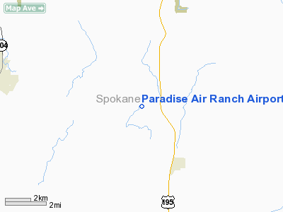
Paradise Air Ranch Airport |
Location & QuickFacts
| FAA Information Effective: | 2008-09-25 |
| Airport Identifier: | WA62 |
| Airport Status: | Operational |
| Longitude/Latitude: | 117-25-08.7260W/47-28-14.6140N
-117.419091/47.470726 (Estimated) |
| Elevation: | 2352 ft / 716.89 m (Surveyed) |
| Land: | 0 acres |
| From nearest city: | 3 nautical miles NW of Spangle, WA |
| Location: | Spokane County, WA |
| Magnetic Variation: | 19E (1985) |
Owner & Manager
| Ownership: | Privately owned |
| Owner: | Jack A. Rose |
| Address: | 20317-s Parker Rd
Spangle, WA 99031 |
| Phone number: | 509-245-3474 |
| Manager: | Jack A. Rose |
| Address: | 20317-s Parker Rd
Spangle, WA 99031 |
| Phone number: | 509-245-3474 |
Airport Operations and Facilities
| Airport Use: | Private |
| Wind indicator: | Yes |
| Segmented Circle: | No |
| Control Tower: | No |
| Landing fee charge: | No |
| Sectional chart: | Seattle |
| Region: | ANM - Northwest Mountain |
| Boundary ARTCC: | ZSE - Seattle |
| Tie-in FSS: | SEA - Seattle |
| FSS on Airport: | No |
| FSS Toll Free: | 1-800-WX-BRIEF |
Airport Services
| Airframe Repair: | NONE |
| Power Plant Repair: | NONE |
Runway Information
Runway N/S
| Dimension: | 2700 x 60 ft / 823.0 x 18.3 m |
| Surface: | TURF, |
| |
Runway N |
Runway S |
| Traffic Pattern: | Left | Left |
| Runway End Identifier: | No | No |
| Centerline Lights: | No | No |
| Touchdown Lights: | No | No |
| Obstruction: | 40 ft plines, 300.0 ft from runway, 7:1 slope to clear | 4 ft fence, 0.0 ft from runway |
|
Radio Navigation Aids
| ID |
Type |
Name |
Ch |
Freq |
Var |
Dist |
| SFF | NDB | Felts | | 365.00 | 19E | 13.7 nm |
| DPY | NDB | Deer Park | | 216.00 | 19E | 29.9 nm |
| SKA | TACAN | Fairchild | 051X | | 19E | 13.0 nm |
| COE | VOR/DME | Coeur D'alene | 025X | 108.80 | 19E | 30.3 nm |
| PUW | VOR/DME | Pullman | 027X | 109.00 | 20E | 48.5 nm |
| GEG | VORTAC | Spokane | 102X | 115.50 | 21E | 10.2 nm |
| GEG | VOT | Spokane Intl | | 109.60 | | 10.4 nm |
| SFF | VOT | Spokane/felts Field | | 114.00 | | 13.2 nm |
Remarks
- SNOW NOT REMOVED & RWY N/S SOFT IN SPRING DURING RAINS.
Images and information placed above are from
http://www.airport-data.com/airport/WA62/
We thank them for the data!
| General Info
|
| Country |
United States
|
| State |
WASHINGTON
|
| FAA ID |
WA62
|
| Latitude |
47-28-14.614N
|
| Longitude |
117-25-08.726W
|
| Elevation |
2352 feet
|
| Near City |
SPANGLE
|
We don't guarantee the information is fresh and accurate. The data may
be wrong or outdated.
For more up-to-date information please refer to other sources.
|
|


