 |
|
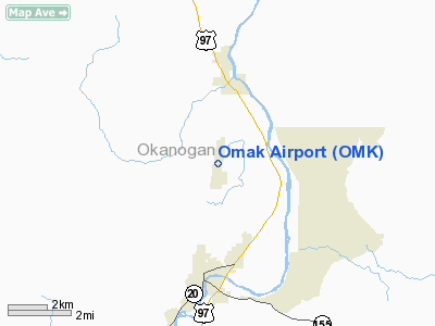
Location & QuickFacts
| FAA Information Effective: | 2008-09-25 |
| Airport Identifier: | OMK |
| Airport Status: | Operational |
| Longitude/Latitude: | 119-31-05.0000W/48-27-51.9000N
-119.518056/48.464417 (Estimated) |
| Elevation: | 1305 ft / 397.76 m (Surveyed) |
| Land: | 325 acres |
| From nearest city: | 3 nautical miles N of Omak, WA |
| Location: | Okanogan County, WA |
| Magnetic Variation: | 19E (1995) |
Owner & Manager
| Ownership: | Publicly owned |
| Owner: | City Of Omak |
| Address: | 2 North Ash Street, Po Box 72
Omak, WA 98841 |
| Phone number: | 509-826-1170 |
| Manager: | Dave Howe |
| Address: | 2 North Ash Street, Po Box 72
Omak, WA 98841 |
| Phone number: | 509-826-1170 |
Airport Operations and Facilities
| Airport Use: | Open to public |
| Wind indicator: | Yes |
| Segmented Circle: | Yes |
| Control Tower: | No |
| Lighting Schedule: | DUSK-DAWN
ACTVT HIRL RY 17/35 - CTAF. |
| Beacon Color: | Clear-Green (lighted land airport) |
| Landing fee charge: | No |
| Sectional chart: | Seattle |
| Region: | ANM - Northwest Mountain |
| Boundary ARTCC: | ZSE - Seattle |
| Tie-in FSS: | SEA - Seattle |
| FSS on Airport: | No |
| FSS Toll Free: | 1-800-WX-BRIEF |
| NOTAMs Facility: | OMK (NOTAM-d service avaliable) |
| Federal Agreements: | NGY |
Airport Communications
| CTAF: | 122.800 |
| Unicom: | 122.800 |
Airport Services
| Fuel available: | 100LLA
FUEL AVBL 24 HRS - CREDIT CARD. |
| Airframe Repair: | MAJOR |
| Power Plant Repair: | MAJOR |
| Bottled Oxygen: | NONE |
| Bulk Oxygen: | NONE |
Runway Information
Runway 17/35
| Dimension: | 4667 x 150 ft / 1422.5 x 45.7 m |
| Surface: | ASPH, Good Condition |
| Weight Limit: | Single wheel: 75000 lbs.
Dual wheel: 200000 lbs.
Dual tandem wheel: 400000 lbs. |
| Edge Lights: | High |
| |
Runway 17 |
Runway 35 |
| Longitude: | 119-30-59.5059W | 119-31-10.4833W |
| Latitude: | 48-28-14.6087N | 48-27-29.1462N |
| Elevation: | 1304.00 ft | 1298.00 ft |
| Alignment: | 127 | 9 |
| Traffic Pattern: | Left | Left |
| Markings: | Basic, Good Condition | Basic, Good Condition |
| Crossing Height: | 43.00 ft | 46.00 ft |
| VASI: | 2-box on left side | 2-box on left side |
| Visual Glide Angle: | 3.00° | 3.00° |
| Runway End Identifier: | Yes | Yes |
|
Radio Navigation Aids
| ID |
Type |
Name |
Ch |
Freq |
Var |
Dist |
| OMK | NDB | Omak | | 219.00 | 19E | 0.7 nm |
Remarks
- ESTABD PRIOR TO 15 MAY 1959.
Images and information placed above are from
http://www.airport-data.com/airport/OMK/
We thank them for the data!
| General Info
|
| Country |
United States
|
| State |
WASHINGTON
|
| FAA ID |
OMK
|
| Latitude |
48-27-51.848N
|
| Longitude |
119-31-04.981W
|
| Elevation |
1301 feet
|
| Near City |
OMAK
|
We don't guarantee the information is fresh and accurate. The data may
be wrong or outdated.
For more up-to-date information please refer to other sources.
|
|


