|
|
| Olympia Regional Airport |
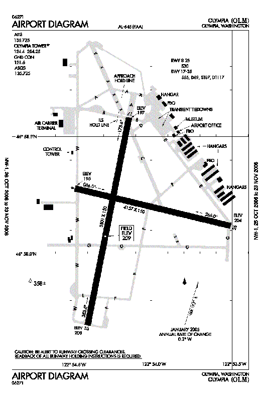 |
| FAA airport diagram |
| IATA: OLM – ICAO: KOLM – FAA LID: OLM |
| Summary |
| Airport type |
Public |
| Owner |
Port of Olympia |
| Serves |
Olympia, Washington |
| Location |
Tumwater, Washington |
| Elevation AMSL |
209 ft / 64 m |
| Coordinates |
46°58′10″N 122°54′09″W / 46.96944°N 122.9025°W / 46.96944; -122.9025 |
| Website |
PortOlympia.com/airport |
| Runways |
| Direction |
Length |
Surface |
| ft |
m |
| 8/26 |
4,157 |
1,267 |
Asphalt |
| 17/35 |
5,501 |
1,677 |
Asphalt |
| Statistics (2008) |
| Aircraft operations |
74,169 |
| Based aircraft |
148 |
| Source: FAA, WSDOT, Port of Olympia |
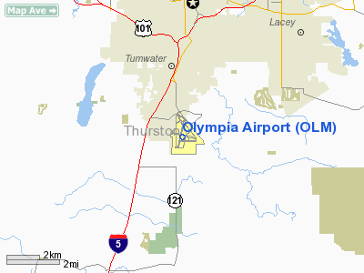
Olympia Regional Airport (IATA: OLM, ICAO: KOLM, FAA LID: OLM) is a public use airport located four nautical miles (7 km) south of the central business district of Olympia, a city in Thurston County and the capital of the U.S. state of Washington. Formerly known as Olympia Airport, it is owned by the Port of Olympia. It is about one mile (1.6 km) east of Interstate 5, actually within the boundaries of the city of Tumwater which is south of and adjacent to Olympia.
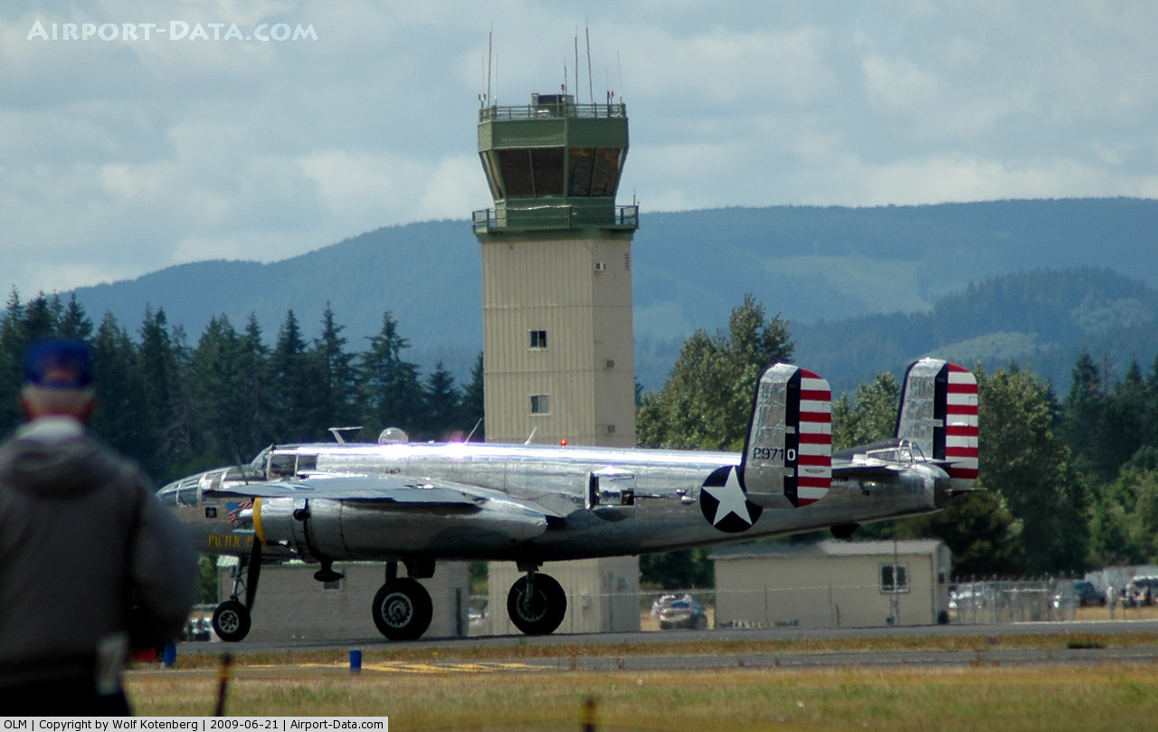
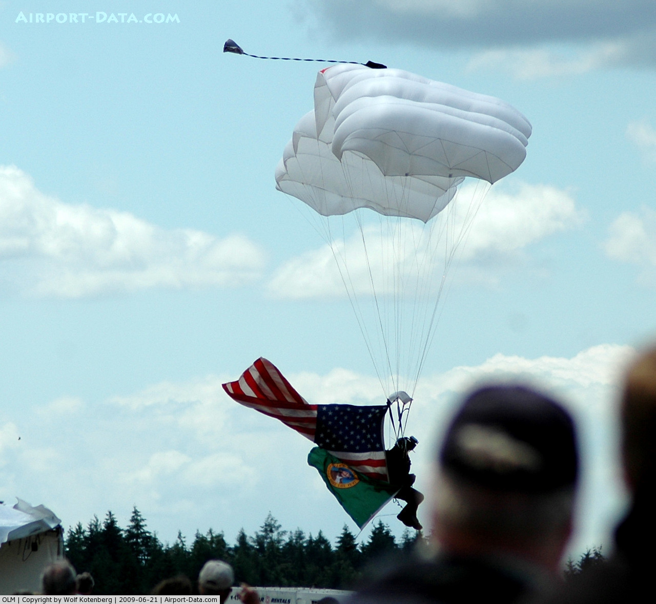
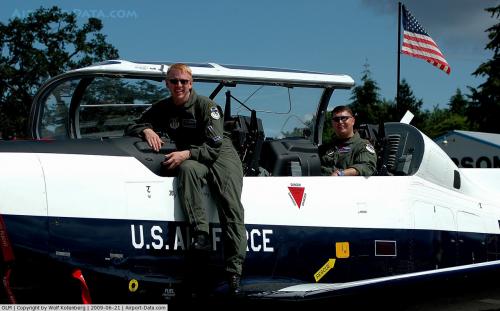
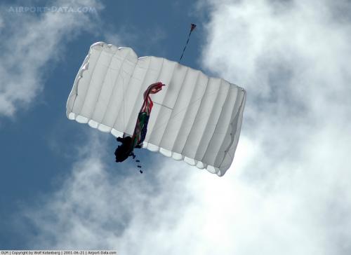
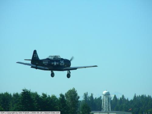
Olympic Flight Museum is located at the Olympia Airport, and Airlift Northwest, the region's air medical transport service uses the airport as one of its medical helicopter bases. The flight museum and the airport play host to a moderate sized air show each June.
The airport's industrial park, 300 acres (1.2 km) in extent, includes a U.S. Department of Commerce designated Free Trade Zone. History
The airport served as a satellite of nearby McChord Field (now AFB) during World War II, and commercial aviation history at the Olympia Airport extends to the 1920s. The airport now supports large corporate jets, cargo aircraft, military helicopters and has a back-up runway lighting system for uninterrupted operations. Olympia Airport also has an Instrument Landing System and backup power system for operations during bad weather or low visibility.
An FAA funded $15 million improvement project to make the airport a safer facility was completed in September, 2008, focusing on runway line-of-sight improvements and enhanced signage. In the late 1990s, the airport's runway protection zone was extended with the purchase of $5.5 million worth of land on each end of the primary runway and an above ground fuel facility was constructed.
Facilities and aircraft
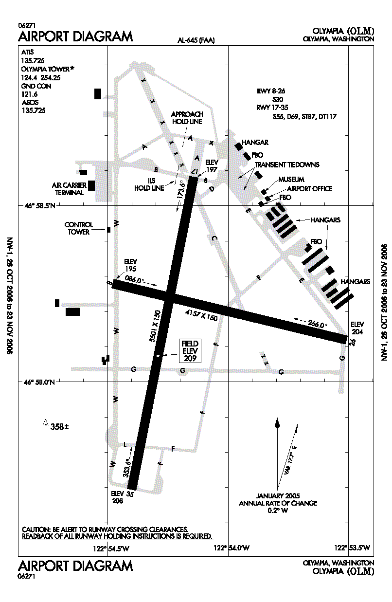
Olympia Regional Airport covers an area of 1,632 acres (660 ha) at an elevation of 209 feet (64 m) above mean sea level. It has two asphalt paved runways: 17/35 is 5,501 by 150 feet (1,677 x 46 m) and 8/26 is 4,157 by 150 feet (1,267 x 46 m). The airport has a passenger terminal, an air traffic control tower and a full-instrument landing approach system.
The field is home to flight instruction, both fixed wing and helicopter, major oxygen and aircraft maintenance facilities, the Washington State Patrol aviation division, and a key navigational aid (Olympia VOR) for commercial flights inbound to Seattle-Tacoma International Airport and general aviation aircraft in the region.
For the 12-month period ending September 30, 2008, the airport had 74,169 aircraft operations, an average of 203 per day: 96% general aviation, 3% air taxi, and 1% military. At that time there were 148 aircraft based at this airport: 74% single-engine, 8% multi-engine, 3% jet and 14% helicopter.
The above content comes from Wikipedia and is published under free licenses – click here to read more.
 |
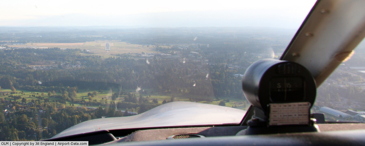
(Click on the photo to enlarge) |
 |
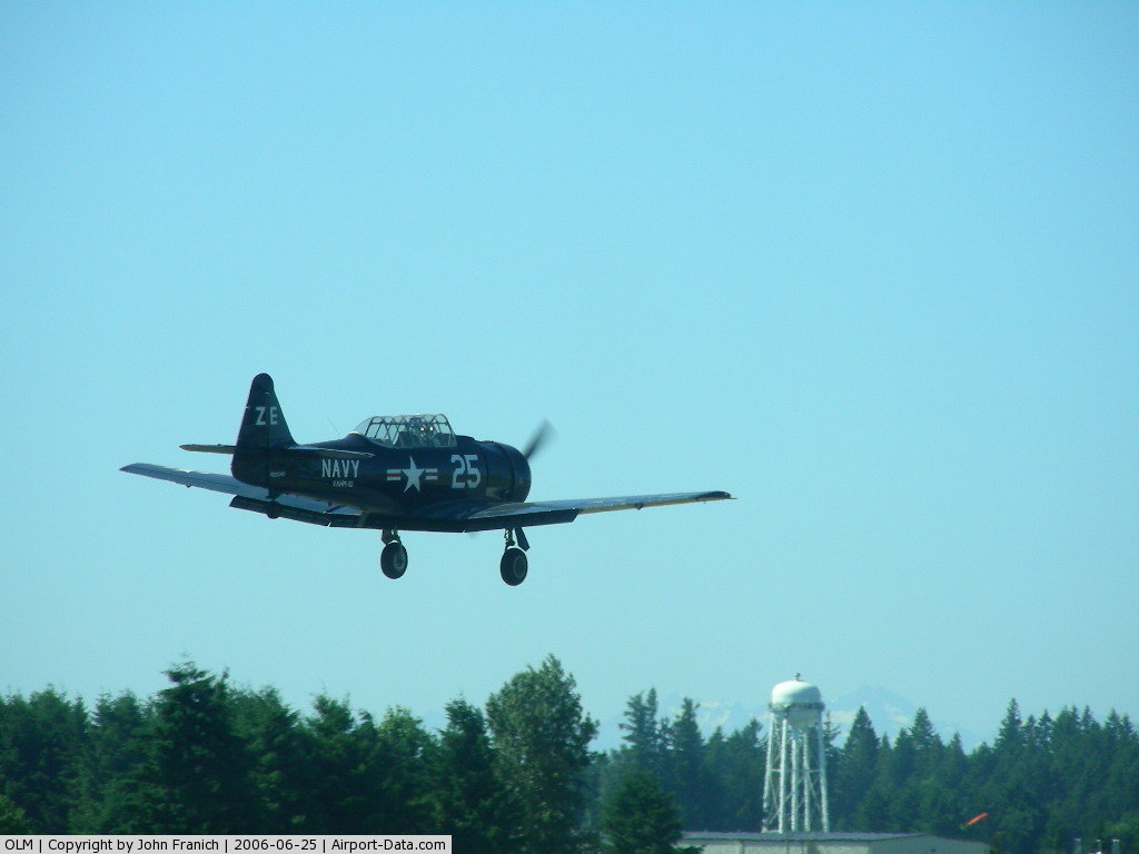
(Click on the photo to enlarge) |
 |
(Click on the photo to enlarge) |
 |
(Click on the photo to enlarge) |
 |
(Click on the photo to enlarge) |
 |
(Click on the photo to enlarge) |
Location & QuickFacts
| FAA Information Effective: | 2008-09-25 |
| Airport Identifier: | OLM |
| Airport Status: | Operational |
| Longitude/Latitude: | 122-54-09.1610W/46-58-09.8560N
-122.902545/46.969404 (Estimated) |
| Elevation: | 209 ft / 63.70 m (Estimated) |
| Land: | 1632 acres |
| From nearest city: | 4 nautical miles S of Olympia, WA |
| Location: | Thurston County, WA |
| Magnetic Variation: | 19E (1995) |
Owner & Manager
| Ownership: | Publicly owned |
| Owner: | Port Of Olympia |
| Address: | 915 Washington Street
Olympia, WA 98507-0827 |
| Phone number: | 360-528-8000 |
| Manager: | Rudy Rudolph |
| Address: | 7643 Old Hwy 99 Se
Olympia, WA 98501 |
| Phone number: | 360-528-8074 |
Airport Operations and Facilities
| Airport Use: | Open to public |
| Wind indicator: | Yes |
| Segmented Circle: | Yes |
| Control Tower: | Yes |
| Lighting Schedule: | DUSK-DAWN
DURG HRS ATCT CLSD ACTVT MIRL RY 17/35, MALSR RY 17, PAPI RYS 17 & 35, REIL RY 35, TWY LGTS & DIRECTIONAL SINEAGE - CTAF. |
| Beacon Color: | Clear-Green (lighted land airport) |
| Landing fee charge: | Yes |
| Sectional chart: | Seattle |
| Region: | ANM - Northwest Mountain |
| Boundary ARTCC: | ZSE - Seattle |
| Tie-in FSS: | SEA - Seattle |
| FSS on Airport: | No |
| FSS Toll Free: | 1-800-WX-BRIEF |
| NOTAMs Facility: | OLM (NOTAM-d service avaliable) |
| Certification type/date: | IV A U 05/197
PPR 72 HRS FOR UNSKED PART 139 ACR OPNS WITH MORE THAN 30 PSGR SEATS CALL AMGR 360-528-8079. |
| Federal Agreements: | NGPY3 |
Airport Communications
| CTAF: | 124.400 |
| Unicom: | 122.950 |
Airport Services
| Fuel available: | 100 100LL80 A |
| Airframe Repair: | MAJOR |
| Power Plant Repair: | MAJOR |
| Bottled Oxygen: | NONE |
| Bulk Oxygen: | HIGH/LOW |
Runway Information
Runway 08/26
| Dimension: | 4157 x 150 ft / 1267.1 x 45.7 m |
| Surface: | ASPH, Fair Condition |
| Weight Limit: | Single wheel: 30000 lbs. |
| |
Runway 08 |
Runway 26 |
| Longitude: | 122-54-28.7370W | 122-53-30.4950W |
| Latitude: | 46-58-16.7640N | 46-58-07.0640N |
| Elevation: | 194.00 ft | 204.00 ft |
| Alignment: | 104 | 127 |
| Traffic Pattern: | Right | Left |
| Markings: | Basic, Good Condition | Basic, Good Condition |
| Obstruction: | , 20:1 slope to clear | 88 ft tree, 2950.0 ft from runway, 150 ft left of centerline, 31:1 slope to clear
GROUND. |
|
Runway 17/35
| Dimension: | 5501 x 150 ft / 1676.7 x 45.7 m |
| Surface: | ASPH, Fair Condition |
| Weight Limit: | Single wheel: 55000 lbs.
Dual wheel: 69000 lbs.
Dual tandem wheel: 117000 lbs. |
| Edge Lights: | Medium |
| |
Runway 17 |
Runway 35 |
| Longitude: | 122-54-08.6000W | 122-54-24.1500W |
| Latitude: | 46-58-34.9200N | 46-57-41.6800N |
| Elevation: | 197.00 ft | 203.00 ft |
| Alignment: | 127 | 11 |
| ILS Type: | ILS
| |
| Traffic Pattern: | Left | Right |
| Markings: | Precision instrument, Good Condition
RUNWAY 17/35 MKGS FADED. | Non-precision instrument, Good Condition |
| Crossing Height: | 54.00 ft | 50.00 ft |
| VASI: | 4-light PAPI on left side | 4-light PAPI on left side |
| Visual Glide Angle: | 3.00° | 3.00° |
| Approach lights: | MALSR | |
| Runway End Identifier: | | Yes |
|
Radio Navigation Aids
| ID |
Type |
Name |
Ch |
Freq |
Var |
Dist |
| LAC | NDB | Lacomas | | 328.00 | 18E | 14.4 nm |
| GR | NDB | Graye | | 216.00 | 18E | 16.3 nm |
| MNC | NDB | Mason County | | 348.00 | 19E | 18.4 nm |
| CAN | NDB | Carney | | 274.00 | 20E | 26.6 nm |
| TDO | NDB | Toledo | | 219.00 | 20E | 29.9 nm |
| PWT | NDB | Kitsap | | 206.00 | 20E | 32.0 nm |
| ODD | NDB | Dondo | | 224.00 | 19E | 33.9 nm |
| RNT | NDB | Renton | | 353.00 | 20E | 42.3 nm |
| LSO | NDB | Kelso | | 256.00 | 21E | 48.9 nm |
| OLM | VORTAC | Olympia | 081X | 113.40 | 19E | 0.1 nm |
| TCM | VORTAC | Mcchord | 033X | 109.60 | 22E | 20.5 nm |
| SEA | VORTAC | Seattle | 115X | 116.80 | 19E | 37.0 nm |
| SEA | VOT | Seattle-tacoma | | 117.50 | | 37.6 nm |
| BFI | VOT | Boeing Field | | 108.60 | | 41.5 nm |
Remarks
- RY 08/26 AND TWYS F; G; C; E; & D NOT AVAILABLE FOR ACR OPS WITH MORE THAN 30 PSGR SEATS.
- TWY LGTS ON TWY 'W' ONLY.
- ESTABD PRIOR TO 15 MAY 1959.
Images and information placed above are from
http://www.airport-data.com/airport/OLM/
We thank them for the data!
| General Info
|
| Country |
United States
|
| State |
WASHINGTON
|
| FAA ID |
OLM
|
| Latitude |
46-58-13.800N
|
| Longitude |
122-54-07.950W
|
| Elevation |
206 feet
|
| Near City |
OLYMPIA
|
We don't guarantee the information is fresh and accurate. The data may
be wrong or outdated.
For more up-to-date information please refer to other sources.
|
|