 |
|
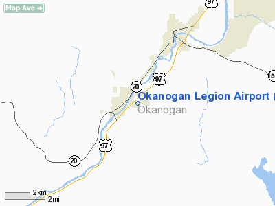
Location & QuickFacts
| FAA Information Effective: | 2008-09-25 |
| Airport Identifier: | S35 |
| Airport Status: | Operational |
| Longitude/Latitude: | 119-34-03.2160W/48-21-42.9050N
-119.567560/48.361918 (Estimated) |
| Elevation: | 1042 ft / 317.60 m (Estimated) |
| Land: | 30 acres |
| From nearest city: | 1 nautical miles E of Okanogan, WA |
| Location: | Okanogan County, WA |
| Magnetic Variation: | 20E (1985) |
Owner & Manager
| Ownership: | Publicly owned |
| Owner: | City Of Okanogan |
| Address: | Po Box 752
Okanogan, WA 98840 |
| Phone number: | 509-422-3600 |
| Manager: | Bix Rosenkranz |
| Address: | Po Box 752
Okanogan, WA 98840 |
| Phone number: | 509-422-2525
OR 509-422-2525. |
Airport Operations and Facilities
| Airport Use: | Open to public |
| Wind indicator: | Yes |
| Segmented Circle: | Yes |
| Control Tower: | No |
| Lighting Schedule: | DUSK-DAWN
ACTIVATE MIRL RY 04/22 - CTAF. |
| Beacon Color: | Clear-Green (lighted land airport) |
| Landing fee charge: | No |
| Sectional chart: | Seattle |
| Region: | ANM - Northwest Mountain |
| Boundary ARTCC: | ZSE - Seattle |
| Tie-in FSS: | SEA - Seattle |
| FSS on Airport: | No |
| FSS Toll Free: | 1-800-WX-BRIEF |
| NOTAMs Facility: | SEA (NOTAM-d service avaliable) |
| Federal Agreements: | 1 |
Airport Communications
| CTAF: | 122.800 |
| Unicom: | 122.800 |
Airport Services
| Fuel available: | 100LL
FUEL BY REQUEST, CALL 509-429-2597, 206-915-4433, 509-422-3071, 509-322-4710. |
| Airframe Repair: | MINOR |
| Power Plant Repair: | MINOR |
| Bottled Oxygen: | NONE |
| Bulk Oxygen: | NONE |
Runway Information
Runway 04/22
| Dimension: | 2533 x 36 ft / 772.1 x 11.0 m |
| Surface: | ASPH, Good Condition |
| Weight Limit: | Single wheel: 6000 lbs. |
| Edge Lights: | Medium |
| |
Runway 04 |
Runway 22 |
| Longitude: | 119-34-19.2970W | 119-33-47.1330W |
| Latitude: | 48-21-36.4220N | 48-21-49.2880N |
| Elevation: | 1042.00 ft | 1034.00 ft |
| Traffic Pattern: | Left | Right |
| Markings: | Basic, Good Condition | Basic, Good Condition |
| Obstruction: | , 50:1 slope to clear | 5 ft hill, 200.0 ft from runway |
|
Radio Navigation Aids
| ID |
Type |
Name |
Ch |
Freq |
Var |
Dist |
| OMK | NDB | Omak | | 219.00 | 19E | 5.9 nm |
Remarks
- DOWN DRAFTS OVER GRVL PIT 500' OFF THR RWY 04.
- ESTBD PRIOR TO 15 MAY 1959.
Images and information placed above are from
http://www.airport-data.com/airport/S35/
We thank them for the data!
| General Info
|
| Country |
United States
|
| State |
WASHINGTON
|
| FAA ID |
S35
|
| Latitude |
48-21-44.543N
|
| Longitude |
119-34-04.190W
|
| Elevation |
1043 feet
|
| Near City |
OKANOGAN
|
We don't guarantee the information is fresh and accurate. The data may
be wrong or outdated.
For more up-to-date information please refer to other sources.
|
|


