|
|
 |
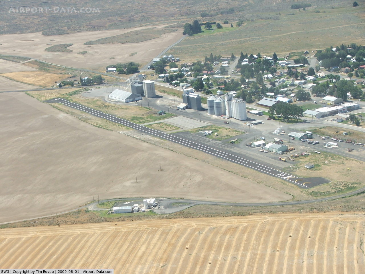
(Click on the photo to enlarge) |
Location & QuickFacts
| FAA Information Effective: | 2008-09-25 |
| Airport Identifier: | 8W3 |
| Airport Status: | Operational |
| Longitude/Latitude: | 119-38-12.9460W/47-48-33.7890N
-119.636929/47.809386 (Estimated) |
| Elevation: | 2272 ft / 692.51 m (Estimated) |
| Land: | 23 acres |
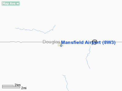
| From nearest city: | 0 nautical miles E of Mansfield, WA |
| Location: | Douglas County, WA |
| Magnetic Variation: | 20E (1985) |
Owner & Manager
| Ownership: | Publicly owned |
| Owner: | Port Of Douglas County |
| Address: | 3306 5th Street Se
East Wenatchee, WA 98802 |
| Phone number: | 509-884-4700 |
| Manager: | Patrick Haley |
| Address: | 3306 5th Street Se
East Wenatchee, WA 98802 |
| Phone number: | 509-884-4700 |
Airport Operations and Facilities
| Airport Use: | Open to public |
| Wind indicator: | Yes |
| Segmented Circle: | No |
| Control Tower: | No |
| Lighting Schedule: | DUSK-DAWN |
| Beacon Color: | Clear-Green (lighted land airport) |
| Landing fee charge: | No |
| Sectional chart: | Seattle |
| Region: | ANM - Northwest Mountain |
| Boundary ARTCC: | ZSE - Seattle |
| Tie-in FSS: | SEA - Seattle |
| FSS on Airport: | No |
| FSS Toll Free: | 1-800-WX-BRIEF |
| NOTAMs Facility: | SEA (NOTAM-d service avaliable) |
Airport Communications
Airport Services
| Airframe Repair: | NONE |
| Power Plant Repair: | NONE |
| Bottled Oxygen: | NONE |
| Bulk Oxygen: | NONE |
Runway Information
Runway 03/21
| Dimension: | 2575 x 46 ft / 784.9 x 14.0 m |
| Surface: | ASPH, Good Condition |
| Edge Lights: | Medium |
| |
Runway 03 |
Runway 21 |
| Longitude: | 119-38-27.9010W | 119-37-57.9900W |
| Latitude: | 47-48-26.0460N | 47-48-41.5310N |
| Alignment: | 52 | 127 |
| Traffic Pattern: | Left | Left |
| Markings: | Basic, Good Condition | Basic, Good Condition |
| Obstruction: | 31 ft pole, 333.0 ft from runway, 108 ft left of centerline, 4:1 slope to clear | 21 ft rr, 379.0 ft from runway, 8:1 slope to clear
+15' ROAD AT 150'; TRUCKS IN VCNTY. |
|
Radio Navigation Aids
| ID |
Type |
Name |
Ch |
Freq |
Var |
Dist |
| EAT | FAN MARKER | Malaga | | | 21E | 33.7 nm |
| OMK | NDB | Omak | | 219.00 | 19E | 39.0 nm |
| MW | NDB | Pelly | | 408.00 | 18E | 44.2 nm |
| EAT | VOR/DME | Wenatchee | 047X | 111.00 | 19E | 33.9 nm |
| MWH | VOR/DME | Moses Lake | 097X | 115.00 | 18E | 38.3 nm |
| EPH | VORTAC | Ephrata | 073X | 112.60 | 21E | 27.3 nm |
Remarks
- POSSIBLE TURBULENCE FROM GRAIN ELEVATORS N SIDE OF APRT.
- RECORD PURPOSES ONLY.
Images and information placed above are from
http://www.airport-data.com/airport/8W3/
We thank them for the data!
| General Info
|
| Country |
United States
|
| State |
WASHINGTON
|
| FAA ID |
8W3
|
| Latitude |
47-48-34.515N
|
| Longitude |
119-38-14.170W
|
| Elevation |
2276 feet
|
| Near City |
MANSFIELD
|
We don't guarantee the information is fresh and accurate. The data may
be wrong or outdated.
For more up-to-date information please refer to other sources.
|
|