 |
|
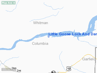
Little Goose Lock And Dam Airport |
Location & QuickFacts
| FAA Information Effective: | 2008-09-25 |
| Airport Identifier: | 16W |
| Airport Status: | Operational |
| Longitude/Latitude: | 118-00-03.8050W/46-34-59.5290N
-118.001057/46.583203 (Estimated) |
| Elevation: | 681 ft / 207.57 m (Surveyed) |
| Land: | 0 acres |
| From nearest city: | 7 nautical miles NE of Starbuck, WA |
| Location: | Columbia County, WA |
| Magnetic Variation: | 19E (1985) |
Owner & Manager
| Ownership: | Publicly owned |
| Owner: | Wsdot Aviation Division |
| Address: | 3704 172nd Street Ne, Suite K2
Arlington, WA 98223-6336 |
| Phone number: | 360-651-6300 |
| Manager: | Jim Scott |
| Address: | 3704 172nd Street Ne, Suite K2
Arlington, WA 98223-6336 |
| Phone number: | 800-522-0666 |
Airport Operations and Facilities
| Airport Use: | Open to public |
| Wind indicator: | Yes |
| Segmented Circle: | No |
| Control Tower: | No |
| Landing fee charge: | No |
| Sectional chart: | Seattle |
| Region: | ANM - Northwest Mountain |
| Boundary ARTCC: | ZSE - Seattle |
| Tie-in FSS: | SEA - Seattle |
| FSS on Airport: | No |
| FSS Toll Free: | 1-800-WX-BRIEF |
| NOTAMs Facility: | SEA (NOTAM-d service avaliable) |
Airport Communications
Airport Services
| Airframe Repair: | NONE |
| Power Plant Repair: | NONE |
| Bottled Oxygen: | NONE |
| Bulk Oxygen: | NONE |
Runway Information
Runway 07/25
| Dimension: | 3400 x 50 ft / 1036.3 x 15.2 m |
| Surface: | GRVL, Good Condition |
| |
Runway 07 |
Runway 25 |
| Traffic Pattern: | Left | Left |
| Obstruction: | 12 ft road, 25.0 ft from runway, 2:1 slope to clear | 262 ft hill, 4200.0 ft from runway, 420 ft left of centerline, 16:1 slope to clear |
|
Radio Navigation Aids
| ID |
Type |
Name |
Ch |
Freq |
Var |
Dist |
| ALW | VOR/DME | Walla Walla | 111X | 116.40 | 20E | 32.2 nm |
| PUW | VOR/DME | Pullman | 027X | 109.00 | 20E | 32.6 nm |
| MQG | VOR/DME | Nez Perce | 019X | 108.20 | 20E | 48.4 nm |
Remarks
- CTN: ARPT LCTD IN CANYON; ROLLING TERRAIN 700-800' SOUTH RISING TO 750'; CANYON WALL 800' SOUTH RISES STEEPLY TO 1800+'; NORTH WALL RISES TO 1600+'.
- CTC WASHINGTON STATE AVIATION DIVISION 360-651-6300 OR 1-800-552-0666 FOR FACILITY INFORMATION PRIOR TO USE.
- CAUTION: WATCH FOR PEDESTRIANS; VEHICLES AND ANIMALS ON RWY.
- CAUTION DENSITY ALTITUDE.
- HIGH TERRAIN SURROUNDS ARPT.
- STRONG WNDS POSSIBLE INSIDE CANYON.
- ARPT CLSD 1 OCT - 1 JUN.
Images and information placed above are from
http://www.airport-data.com/airport/16W/
We thank them for the data!
| General Info
|
| Country |
United States
|
| State |
WASHINGTON
|
| FAA ID |
16W
|
| Latitude |
46-34-59.529N
|
| Longitude |
118-00-03.805W
|
| Elevation |
681 feet
|
| Near City |
STARBUCK
|
We don't guarantee the information is fresh and accurate. The data may
be wrong or outdated.
For more up-to-date information please refer to other sources.
|
|


