|
|
 |
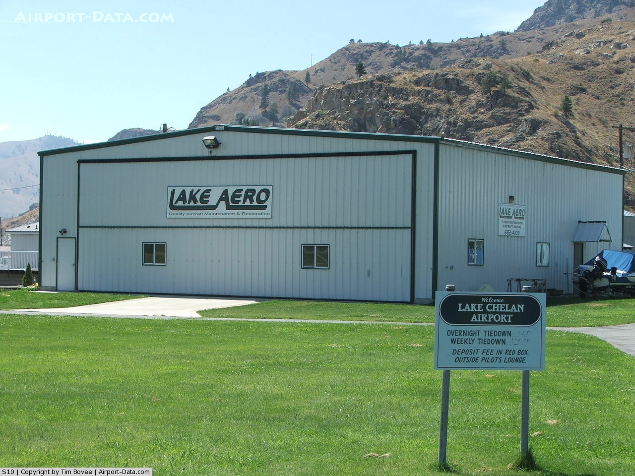
(Click on the photo to enlarge) |
 |
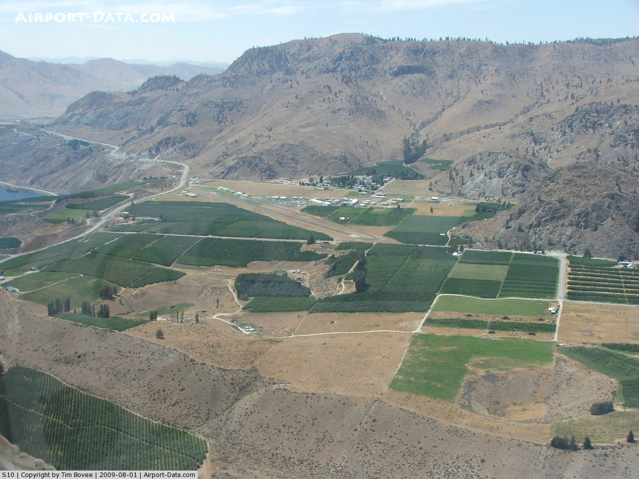
(Click on the photo to enlarge) |
Location & QuickFacts
| FAA Information Effective: | 2008-09-25 |
| Airport Identifier: | S10 |
| Airport Status: | Operational |
| Longitude/Latitude: | 119-56-33.7260W/47-51-57.6370N
-119.942702/47.866010 (Estimated) |
| Elevation: | 1263 ft / 384.96 m (Estimated) |
| Land: | 78 acres |
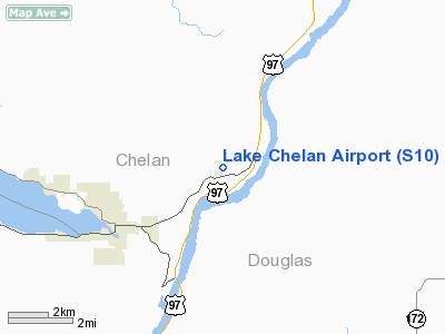
| From nearest city: | 3 nautical miles NE of Chelan, WA |
| Location: | Chelan County, WA |
| Magnetic Variation: | 20E (1985) |
Owner & Manager
| Ownership: | Publicly owned |
| Owner: | City Of Chelan/port Of Chelan |
| Address: | Po Box 1669
Chelan, WA 98816 |
| Phone number: | 509-682-4037 |
| Manager: | Dick Swenford |
| Address: | Po Box 2371
Chelan, WA 98816 |
| Phone number: | 509-682-5976 |
Airport Operations and Facilities
| Airport Use: | Open to public |
| Wind indicator: | Yes |
| Segmented Circle: | Yes |
| Control Tower: | No |
| Lighting Schedule: | DUSK-DAWN
ACTVT MIRL RY 02/20 - CTAF 122.9. |
| Beacon Color: | Clear-Green (lighted land airport) |
| Landing fee charge: | No |
| Sectional chart: | Seattle |
| Region: | ANM - Northwest Mountain |
| Boundary ARTCC: | ZSE - Seattle |
| Tie-in FSS: | SEA - Seattle |
| FSS on Airport: | No |
| FSS Toll Free: | 1-800-WX-BRIEF |
| NOTAMs Facility: | SEA (NOTAM-d service avaliable) |
| Federal Agreements: | NGY |
Airport Communications
| CTAF: | 122.950 |
| Unicom: | 122.950 |
Airport Services
| Fuel available: | 100LLA
SELF-SERVICE FUEL AVAILABLE 24/7 |
| Airframe Repair: | MINOR |
| Power Plant Repair: | MINOR |
| Bottled Oxygen: | NONE |
| Bulk Oxygen: | NONE |
Runway Information
Runway 02/20
| Dimension: | 3503 x 60 ft / 1067.7 x 18.3 m |
| Surface: | ASPH, Good Condition |
| Weight Limit: | Single wheel: 12000 lbs. |
| Edge Lights: | Medium |
| |
Runway 02 |
Runway 20 |
| Longitude: | 119-56-51.5830W | 119-56-15.8670W |
| Latitude: | 47-51-45.2090N | 47-52-10.0640N |
| Elevation: | 1254.00 ft | 1263.00 ft |
| Traffic Pattern: | Right | Left |
| Markings: | Basic, Good Condition | Basic, Good Condition |
| Displaced threshold: | 447.00 ft | 197.00 ft |
| VASI: | | 2-light PAPI on left side |
| Obstruction: | 14 ft road, 203.0 ft from runway
APCH SLOPE 46:1 FROM DSPLCD THR.
RY 02, ROAD 0-200 FT FM THLD ON BOTH SIDES, +20 FT TREES 160-200 FT FM THLD, 90 FT L, ROAD SIGN +7 FT ,180 FT FM THLD, 49 FT L, 3 FT CONC POSTS 175 FT FM THLD, 55 FT L. | 17 ft trees, 203.0 ft from runway, 5 ft left of centerline
RY 20 APPROACH SLOPE 14:1 TO +19 FT ROAD AT 322 FT FROM DISPLCD THLD.
RWY 20 ROAD IN PRIM SFC 125' FM THR AND 20' TREES 180' FM THR. ROAD AT 124 FT FM THLD, +20 FT TREES 124-200 FT FM THLD. |
|
Radio Navigation Aids
| ID |
Type |
Name |
Ch |
Freq |
Var |
Dist |
| EAT | FAN MARKER | Malaga | | | 21E | 31.4 nm |
| OMK | NDB | Omak | | 219.00 | 19E | 39.2 nm |
| EAT | VOR/DME | Wenatchee | 047X | 111.00 | 19E | 30.1 nm |
| MWH | VOR/DME | Moses Lake | 097X | 115.00 | 18E | 46.9 nm |
| EPH | VORTAC | Ephrata | 073X | 112.60 | 21E | 36.1 nm |
Remarks
- ESTABD PRIOR TO 15 MAY 1959.
Images and information placed above are from
http://www.airport-data.com/airport/S10/
We thank them for the data!
| General Info
|
| Country |
United States
|
| State |
WASHINGTON
|
| FAA ID |
S10
|
| Latitude |
47-51-57.497N
|
| Longitude |
119-56-33.739W
|
| Elevation |
1263 feet
|
| Near City |
CHELAN
|
We don't guarantee the information is fresh and accurate. The data may
be wrong or outdated.
For more up-to-date information please refer to other sources.
|
|