|
|
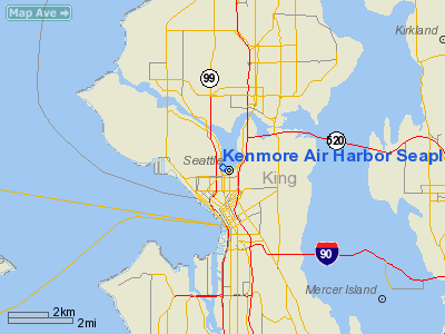
Kenmore Air Harbor Seaplane Base Airport |
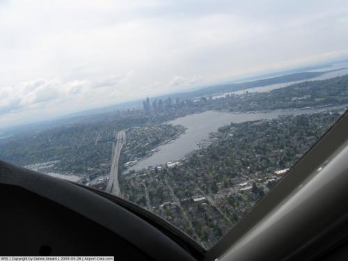 |
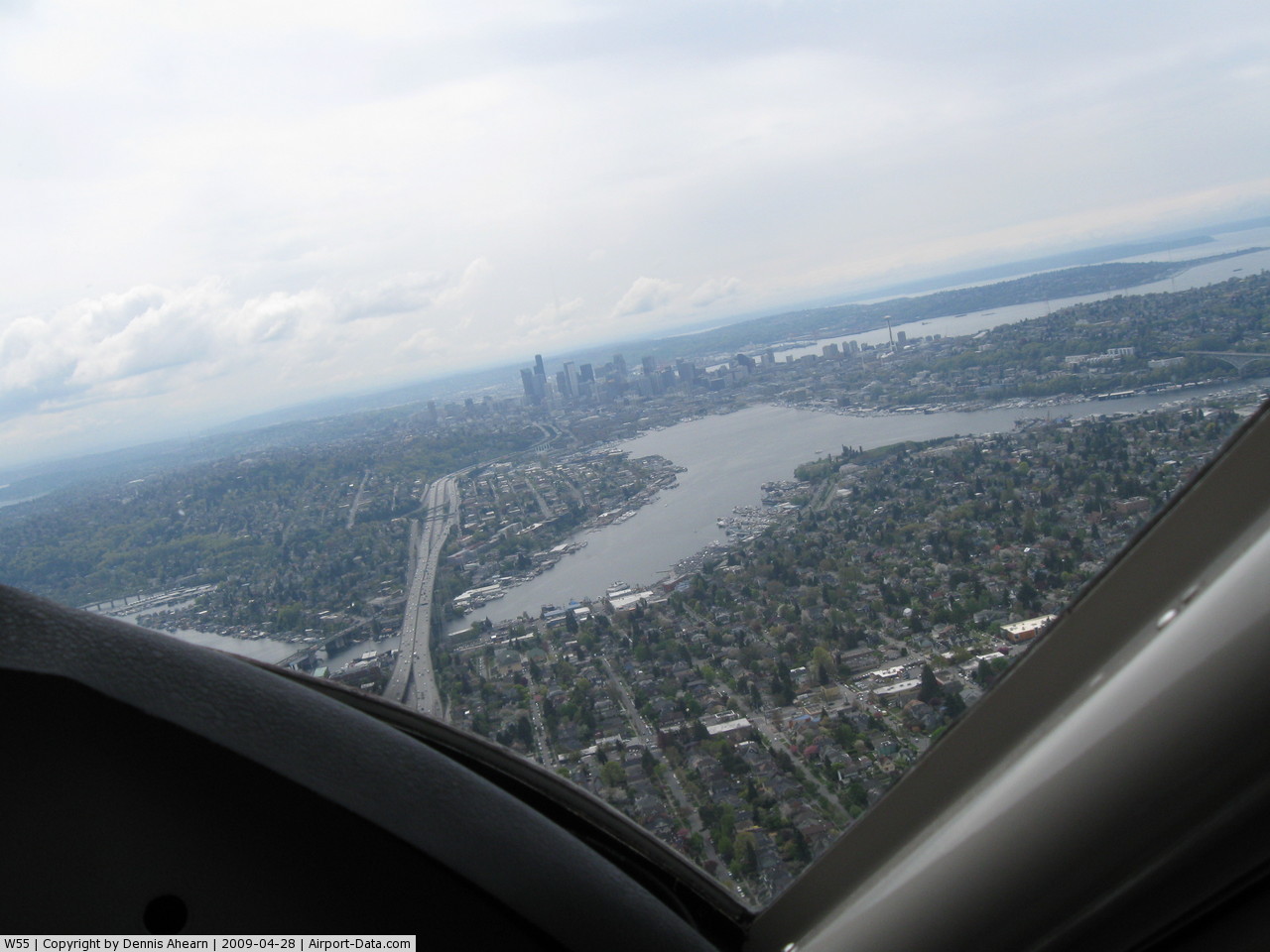
(Click on the photo to enlarge) |
Location & QuickFacts
| FAA Information Effective: | 2008-09-25 |
| Airport Identifier: | W55 |
| Airport Status: | Operational |
| Longitude/Latitude: | 122-20-19.4560W/47-37-44.3530N
-122.338738/47.628987 (Estimated) |
| Elevation: | 14 ft / 4.27 m (Estimated) |
| Land: | 3 acres |
| From nearest city: | 1 nautical miles N of Seattle, WA |
| Location: | King County, WA |
| Magnetic Variation: | 20E (1985) |
Owner & Manager
| Ownership: | Privately owned |
| Owner: | Gregg Munro |
| Address: | P O Box 82064
Kenmore, WA 98028 |
| Phone number: | 425-486-1257
EXTENSION 2417 |
| Manager: | Andrew Otterness |
| Address: | 950 Westlake Avenue N
Seattle, WA 98109 |
| Phone number: | 206-282-8744 |
Airport Operations and Facilities
| Airport Use: | Open to public |
| Wind indicator: | Yes |
| Segmented Circle: | No |
| Control Tower: | No |
| Landing fee charge: | No
TRANSIT DOCKING FEES. |
| Sectional chart: | Seattle |
| Region: | ANM - Northwest Mountain |
| Boundary ARTCC: | ZSE - Seattle |
| Tie-in FSS: | SEA - Seattle |
| FSS on Airport: | No |
| FSS Toll Free: | 1-800-WX-BRIEF |
| NOTAMs Facility: | SEA (NOTAM-d service avaliable) |
Airport Communications
Airport Services
| Fuel available: | 100LLA |
| Bottled Oxygen: | NONE |
| Bulk Oxygen: | NONE |
Runway Information
Runway 16/34
| Dimension: | 5000 x 500 ft / 1524.0 x 152.4 m |
| Surface: | WATER, |
| |
Runway 16 |
Runway 34 |
| Traffic Pattern: | Left | Left |
|
Radio Navigation Aids
| ID |
Type |
Name |
Ch |
Freq |
Var |
Dist |
| RNT | NDB | Renton | | 353.00 | 20E | 9.5 nm |
| ODD | NDB | Dondo | | 224.00 | 19E | 16.0 nm |
| PWT | NDB | Kitsap | | 206.00 | 20E | 18.8 nm |
| CAN | NDB | Carney | | 274.00 | 20E | 24.2 nm |
| GR | NDB | Graye | | 216.00 | 18E | 30.7 nm |
| MNC | NDB | Mason County | | 348.00 | 19E | 38.1 nm |
| LAC | NDB | Lacomas | | 328.00 | 18E | 38.4 nm |
| NUW | TACAN | Whidbey Island | 085X | | 21E | 45.5 nm |
| PAE | VOR/DME | Paine | 043X | 110.60 | 20E | 17.7 nm |
| CVV | VOR/DME | Penn Cove | 119X | 117.20 | 19E | 40.1 nm |
| SEA | VORTAC | Seattle | 115X | 116.80 | 19E | 11.7 nm |
| TCM | VORTAC | Mcchord | 033X | 109.60 | 22E | 29.5 nm |
| OLM | VORTAC | Olympia | 081X | 113.40 | 19E | 45.7 nm |
| BFI | VOT | Boeing Field | | 108.60 | | 6.2 nm |
| SEA | VOT | Seattle-tacoma | | 117.50 | | 11.3 nm |
Remarks
- APCH SURFACE DATA NOT CHECKED.
- FUEL AVBL EMERG ONLY.
- INCREASED BOATING OPNS ON LAKE APR 15 THRU OCT 15.
- SPECIAL NOISE ABATEMENT RULES IN EFFECT CONTACT OPERATOR FOR PATTERN INFORMATION.
- KITE FLYING IN PUBLIC PARK AT N END OF ARPT.
- NIGHT LANDINGS NOT RECOMMENDED DUE TO UNLIGHTED SMALL WATERCRAFT.
- DO NOT TAXI CLOSER THAN 200 FT FM SHORELINE EXCP IN CLOSE PROXIMITY TO KENMORE AIR HARBOR.
- ALL TAKEOFFS & LANDINGS IN CENTER OF LAKE.
- RED BUOY INDICATES START & STOP AREA FOR TKOFS & LNDGS.
- CALL 425-486-1257 X2010 FOR APVL AT LEAST 3 HRS PRIOR TO ARR. DOCKING FEE.
- ESTABD PRIOR 15 MAY 1959.
Images and information placed above are from
http://www.airport-data.com/airport/W55/
We thank them for the data!
| General Info
|
| Country |
United States
|
| State |
WASHINGTON
|
| FAA ID |
W55
|
| Latitude |
47-37-44.353N
|
| Longitude |
122-20-19.456W
|
| Elevation |
14 feet
|
| Near City |
SEATTLE
|
We don't guarantee the information is fresh and accurate. The data may
be wrong or outdated.
For more up-to-date information please refer to other sources.
|
|