 |
|
Location & QuickFacts
| FAA Information Effective: | 2008-09-25 |
| Airport Identifier: | WN08 |
| Airport Status: | Operational |
| Longitude/Latitude: | 122-06-46.5410W/48-54-53.4360N
-122.112928/48.914843 (Estimated) |
| Elevation: | 548 ft / 167.03 m (Estimated) |
| Land: | 0 acres |
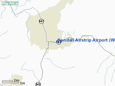
| From nearest city: | 1 nautical miles E of Kendall, WA |
| Location: | Whatcom County, WA |
| Magnetic Variation: | 21E (1985) |
Owner & Manager
| Ownership: | Privately owned |
| Owner: | Kendall Airstrip Association |
| Address: | Po Box 1158
Maple Falls, WA 98266 |
| Phone number: | 360-599-1631 |
| Manager: | Mike & Suzi Soderland |
| Address: | Po Box 2269
Maple Falls, WA 98266 |
| Phone number: | 360-599-1631 |
Airport Operations and Facilities
| Airport Use: | Private |
| Wind indicator: | No |
| Segmented Circle: | No |
| Control Tower: | No |
| Landing fee charge: | No |
| Sectional chart: | Seattle |
| Region: | ANM - Northwest Mountain |
| Boundary ARTCC: | ZSE - Seattle |
| Tie-in FSS: | SEA - Seattle |
| FSS on Airport: | No |
| FSS Toll Free: | 1-800-WX-BRIEF |
Runway Information
Runway 06/24
| Dimension: | 1300 x 40 ft / 396.2 x 12.2 m |
| Surface: | TURF, |
| |
Runway 06 |
Runway 24 |
| Traffic Pattern: | Left | Left |
| Obstruction: | 8 ft fence | 50 ft trees, 150.0 ft from runway |
|
Radio Navigation Aids
| ID |
Type |
Name |
Ch |
Freq |
Var |
Dist |
| LU | NDB | Cultus | | 214.00 | 22E | 6.9 nm |
| XX | NDB | Abbotsford | | 344.00 | 21E | 16.0 nm |
| WC | NDB | White Rock | | 332.00 | 21E | 25.1 nm |
| BVS | NDB | Skagit/bay View | | 240.00 | 21E | 29.4 nm |
| HE | NDB | Hope | | 245.00 | 21E | 39.2 nm |
| VR | NDB | Vancouver | | 266.00 | 21E | 40.3 nm |
| OPZ | NDB | Lopez Island | | 356.00 | 21E | 41.4 nm |
| FHR | NDB | Friday Harbor | | 284.00 | 20E | 43.1 nm |
| AP | NDB | Active Pass | | 378.00 | 21E | 46.6 nm |
| V | NDB | Victor | | 368.00 | 22E | 46.7 nm |
| NUW | TACAN | Whidbey Island | 085X | | 21E | 40.1 nm |
| CVV | VOR/DME | Penn Cove | 119X | 117.20 | 19E | 47.1 nm |
| HUH | VORTAC | Whatcom | 077X | 113.00 | 20E | 18.5 nm |
| YVR | VORTAC | Vancouver | 44 | 115.90 | 21E | 42.0 nm |
Remarks
- TKOF WEST. RWY SLOPES DOWN 5% TO WEST.
- ARPT SURROUNDED BY MTNS.
Images and information placed above are from
http://www.airport-data.com/airport/WN08/
We thank them for the data!
| General Info
|
| Country |
United States
|
| State |
WASHINGTON
|
| FAA ID |
WN08
|
| Latitude |
48-54-53.436N
|
| Longitude |
122-06-46.541W
|
| Elevation |
548 feet
|
| Near City |
KENDALL
|
We don't guarantee the information is fresh and accurate. The data may
be wrong or outdated.
For more up-to-date information please refer to other sources.
|
|


