 |
|
Location & QuickFacts
| FAA Information Effective: | 2008-09-25 |
| Airport Identifier: | 00WN |
| Airport Status: | Operational |
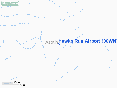
| Longitude/Latitude: | 117-14-56.4000W/46-15-00.0000N
-117.249000/46.250000 (Estimated) |
| Elevation: | 2900 ft / 883.92 m (Estimated) |
| Land: | 2 acres |
| From nearest city: | 13 nautical miles SW of Asotin, WA |
| Location: | Asotin County, WA |
| Magnetic Variation: | () |
Owner & Manager
| Ownership: | Privately owned |
| Owner: | James D. Petree |
| Address: | 19395 Cloverland Rd
Asotin, WA 99402 |
| Phone number: | 509-243-5225 |
| Manager: | James D. Petree |
| Address: | 19395 Cloverland Rd
Asotin, WA 99402 |
| Phone number: | 509-243-5225 |
Airport Operations and Facilities
| Airport Use: | Private |
| Wind indicator: | Yes |
| Control Tower: | No |
| Sectional chart: | Klamath Falls |
| Region: | ANM - Northwest Mountain |
| Boundary ARTCC: | ZSE - Seattle |
| Tie-in FSS: | SEA - Seattle |
| FSS Toll Free: | 1-800-WX-BRIEF |
Runway Information
Runway 05/23
| Dimension: | 1440 x 50 ft / 438.9 x 15.2 m |
| Surface: | TURF, Good Condition |
| |
Runway 05 |
Runway 23 |
| Traffic Pattern: | Left | Left |
|
Radio Navigation Aids
| ID |
Type |
Name |
Ch |
Freq |
Var |
Dist |
| GVV | NDB | Grain | | 280.00 | 18E | 46.7 nm |
| MQG | VOR/DME | Nez Perce | 019X | 108.20 | 20E | 17.6 nm |
| PUW | VOR/DME | Pullman | 027X | 109.00 | 20E | 25.5 nm |
| ALW | VOR/DME | Walla Walla | 111X | 116.40 | 20E | 44.5 nm |
Images and information placed above are from
http://www.airport-data.com/airport/00WN/
We thank them for the data!
|
|


