 |
|
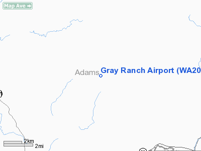
Location & QuickFacts
| FAA Information Effective: | 2008-09-25 |
| Airport Identifier: | WA20 |
| Airport Status: | Operational |
| Longitude/Latitude: | 118-10-37.0000W/46-50-53.0000N
-118.176944/46.848056 (Estimated) |
| Elevation: | 1625 ft / 495.30 m (Estimated) |
| Land: | 230 acres |
| From nearest city: | 8 nautical miles SW of Benge, WA |
| Location: | Adams County, WA |
| Magnetic Variation: | () |
Owner & Manager
| Ownership: | Privately owned |
| Owner: | Gerald/nina Richardson |
| Address: | 10091 Harris Rd. Ne
Moses Lake, WA 98837 |
| Phone number: | 509-765-9735 |
| Manager: | Gerald/nina Richardson |
| Address: | 10091 Harris Rd. Ne
Moses Lake, WA 98837 |
| Phone number: | 509-765-9735 |
Airport Operations and Facilities
| Airport Use: | Private |
| Wind indicator: | Yes |
| Control Tower: | No |
| Sectional chart: | Seattle |
| Region: | ANM - Northwest Mountain |
| Boundary ARTCC: | ZSE - Seattle |
| Tie-in FSS: | SEA - Seattle |
| FSS Toll Free: | 1-800-WX-BRIEF |
Runway Information
Runway 03/21
| Dimension: | 2400 x 30 ft / 731.5 x 9.1 m |
| Surface: | TURF, |
| |
Runway 03 |
Runway 21 |
| Traffic Pattern: | Left | Left |
|
Radio Navigation Aids
| ID |
Type |
Name |
Ch |
Freq |
Var |
Dist |
| MW | NDB | Pelly | | 408.00 | 18E | 47.8 nm |
| PUW | VOR/DME | Pullman | 027X | 109.00 | 20E | 40.6 nm |
| ALW | VOR/DME | Walla Walla | 111X | 116.40 | 20E | 46.0 nm |
| GEG | VORTAC | Spokane | 102X | 115.50 | 21E | 48.6 nm |
Remarks
Images and information placed above are from
http://www.airport-data.com/airport/WA20/
We thank them for the data!
|
|


