 |
|
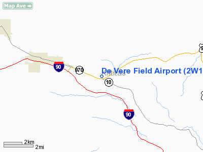
Location & QuickFacts
| FAA Information Effective: | 2008-09-25 |
| Airport Identifier: | 2W1 |
| Airport Status: | Operational |
| Longitude/Latitude: | 120-51-09.5790W/47-10-39.2920N
-120.852661/47.177581 (Estimated) |
| Elevation: | 1800 ft / 548.64 m (Estimated) |
| Land: | 12 acres |
| From nearest city: | 3 nautical miles E of Cle Elum, WA |
| Location: | Kittitas County, WA |
| Magnetic Variation: | 20E (1985) |
Owner & Manager
| Ownership: | Privately owned |
| Owner: | James De Vere |
| Address: | Po Box 336
Cle Elum, WA 98922 |
| Phone number: | 509-674-2442 |
| Manager: | James De Vere
ALSO 509-674-2933. |
| Address: | Po Box 336
Cle Elum, WA 98922 |
| Phone number: | 509-674-2442 |
Airport Operations and Facilities
| Airport Use: | Open to public |
| Wind indicator: | Yes
WIND TEE & SOCK. |
| Segmented Circle: | No
TRAFFIC PATTERN INDICATORS CO-LOCATED W/WIND TEE. |
| Control Tower: | No |
| Lighting Schedule: | PHONE REQ
FOR LIRL RY 08/26 CALL (509) 674-2627. |
| Landing fee charge: | No |
| Sectional chart: | Seattle |
| Region: | ANM - Northwest Mountain |
| Boundary ARTCC: | ZSE - Seattle |
| Tie-in FSS: | SEA - Seattle |
| FSS on Airport: | No |
| FSS Toll Free: | 1-800-WX-BRIEF |
| NOTAMs Facility: | SEA (NOTAM-d service avaliable) |
Airport Communications
Airport Services
| Bottled Oxygen: | NONE |
| Bulk Oxygen: | NONE |
Runway Information
Runway 08/26
| Dimension: | 2055 x 30 ft / 626.4 x 9.1 m |
| Surface: | ASPH, Good Condition |
| Edge Lights: | Low
RY 08/26 NSTD LIRL - THLD LGTS 360 DEG GREEN. |
| |
Runway 08 |
Runway 26 |
| Longitude: | 120-51-24.2840W | 120-50-54.8730W |
| Latitude: | 47-10-40.8130N | 47-10-37.7710N |
| Traffic Pattern: | Right | Left |
| Markings: | Nonstandard,
RY 08/26 NSTD MKGS NUMBERS SMALL AND SQUARE AIMING POINTS PAINTED ON RWY ENDS. | Nonstandard, |
| Obstruction: | 9 ft trees, 200.0 ft from runway, 54 ft right of centerline
10-15 FT BUSHES/TREES WITHIN PRIM SFC; 2 FT FENCE AT THR MARKED W/COLORED FLAGS; +8 FT ROAD SIGN AT 75 FT FM THR, 90 FT LEFT; ROAD AT 12 FT FM THR. | 31 ft trees, 399.0 ft from runway, 89 ft right of centerline, 6:1 slope to clear
4 FT FENCE 3 FT FM RWY END. |
|
Radio Navigation Aids
| ID |
Type |
Name |
Ch |
Freq |
Var |
Dist |
| EAT | FAN MARKER | Malaga | | | 21E | 31.2 nm |
| EAT | VOR/DME | Wenatchee | 047X | 111.00 | 19E | 29.4 nm |
| ELN | VORTAC | Ellensburg | 126X | 117.90 | 21E | 18.6 nm |
| YKM | VORTAC | Yakima | 107X | 116.00 | 21E | 40.2 nm |
Remarks
- ALL PATTERNS TO THE SOUTH.
- FIELD OCNLY CLSD IN WINTER.
- WILDLIFE ON & INVOF RY.
- RY 08/26 HAS 2 INCH DROPOFF ALONG ENTIRE RY BOTH SIDES.
- ALL TFC PATS ARE ESTAB TO THE SOUTH.
Images and information placed above are from
http://www.airport-data.com/airport/2W1/
We thank them for the data!
| General Info
|
| Country |
United States
|
| State |
WASHINGTON
|
| FAA ID |
2W1
|
| Latitude |
47-10-59.434N
|
| Longitude |
120-52-04.291W
|
| Elevation |
1800 feet
|
| Near City |
CLE ELUM
|
We don't guarantee the information is fresh and accurate. The data may
be wrong or outdated.
For more up-to-date information please refer to other sources.
|
|


