 |
|
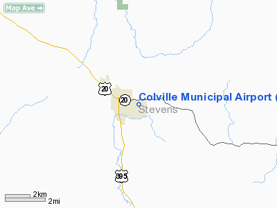
Location & QuickFacts
| FAA Information Effective: | 2008-09-25 |
| Airport Identifier: | 63S |
| Airport Status: | Operational |
| Longitude/Latitude: | 117-53-02.0000W/48-32-38.0000N
-117.883889/48.543889 (Estimated) |
| Elevation: | 1882 ft / 573.63 m (Estimated) |
| Land: | 110 acres |
| From nearest city: | 1 nautical miles E of Colville, WA |
| Location: | Stevens County, WA |
| Magnetic Variation: | 20E (1985) |
Owner & Manager
| Ownership: | Publicly owned |
| Owner: | City Of Colville |
| Address: | City Hall 170 S Oak St
Colville, WA 99114 |
| Phone number: | 509-684-5094 |
| Manager: | David Garringer
ALTERNATE PHONE 509-684-1566. |
| Address: | 173-a N. Airport Dr
Colville, WA 99114 |
| Phone number: | 509-684-9056 |
Airport Operations and Facilities
| Airport Use: | Open to public |
| Wind indicator: | Yes |
| Segmented Circle: | No |
| Control Tower: | No |
| Lighting Schedule: | DUSK-DAWN
ACTVT MIRL RY 01/19 - CTAF. |
| Beacon Color: | Clear-Green (lighted land airport) |
| Landing fee charge: | No |
| Sectional chart: | Seattle |
| Region: | ANM - Northwest Mountain |
| Boundary ARTCC: | ZSE - Seattle |
| Tie-in FSS: | SEA - Seattle |
| FSS on Airport: | No |
| FSS Toll Free: | 1-800-WX-BRIEF |
| NOTAMs Facility: | CQV (NOTAM-d service avaliable) |
| Federal Agreements: | NGY |
Airport Communications
| CTAF: | 122.800 |
| Unicom: | 122.800 |
Airport Services
| Fuel available: | 100LL |
| Airframe Repair: | MAJOR |
| Power Plant Repair: | MAJOR |
| Bottled Oxygen: | NONE |
| Bulk Oxygen: | NONE |
Runway Information
Runway 01/19
| Dimension: | 2695 x 40 ft / 821.4 x 12.2 m |
| Surface: | ASPH, Good Condition |
| Weight Limit: | Single wheel: 11000 lbs. |
| Edge Lights: | Medium |
| |
Runway 01 |
Runway 19 |
| Longitude: | 117-53-12.8380W | 117-52-48.5460W |
| Latitude: | 48-32-28.4360N | 48-32-49.5830N |
| Elevation: | 1869.00 ft | 1888.00 ft |
| Traffic Pattern: | Left | Left |
| Displaced threshold: | 0.00 ft | 255.00 ft |
| VASI: | 2-light PAPI on left side | |
| Visual Glide Angle: | 4.00° | 0.00° |
| Obstruction: | , 50:1 slope to clear | 6 ft fence, 234.0 ft from runway, 31 ft left of centerline, 5:1 slope to clear
RWY 19 APCH RATIO 12:1 TO +31' TREE @ 420', 25' R FROM DSPLCD THLD.
RWY 19 +6 FT FENCE 66 FT FM THLD. |
|
Radio Navigation Aids
| ID |
Type |
Name |
Ch |
Freq |
Var |
Dist |
| ION | NDB | Ione | | 379.00 | 21E | 21.2 nm |
| DPY | NDB | Deer Park | | 216.00 | 19E | 39.2 nm |
| EF | NDB | Champion | | 206.00 | 20E | 43.9 nm |
| YK | NDB | Brilliant | | 269.00 | 20E | 48.0 nm |
Remarks
- CAUTION: WATCH FOR DEER ON AND IN THE VICINITY OF ARPT.
- APN & TIEDOWN GRVL & TURF GOOD TO FAIR COND; 3 ASPH PAVED TRANSIENT TIEDOWNS.
- OCNL VEHICULAR TFC ACROSS END OF RWY 01 & TWY.
- CAR AVBL.
- WHEN LANDING RY 19, BRIGHT LIGHTS AROUND HIGH SCHOOL STADIUM, APPROXIMATELY 3/4 MILES 'S' OF ARPT.
- ESTABD PRIOR TO 1959.
Images and information placed above are from
http://www.airport-data.com/airport/63S/
We thank them for the data!
| General Info
|
| Country |
United States
|
| State |
WASHINGTON
|
| FAA ID |
63S
|
| Latitude |
48-32-29.650N
|
| Longitude |
117-53-03.929W
|
| Elevation |
1878 feet
|
| Near City |
COLVILLE
|
We don't guarantee the information is fresh and accurate. The data may
be wrong or outdated.
For more up-to-date information please refer to other sources.
|
|


