 |
|
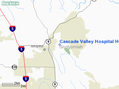
Cascade Valley Hospital Heliport |
Location & QuickFacts
| FAA Information Effective: | 2008-09-25 |
| Airport Identifier: | 6WA9 |
| Airport Status: | Operational |
| Longitude/Latitude: | 122-06-05.0000W/48-11-24.0000N
-122.101389/48.190000 (Estimated) |
| Elevation: | 160 ft / 48.77 m (Estimated) |
| Land: | 0 acres |
| From nearest city: | 0 nautical miles SE of Arlington, WA |
| Location: | Snohomish County, WA |
| Magnetic Variation: | 20E (1995) |
Owner & Manager
| Ownership: | Privately owned |
| Owner: | Cascade Valley Hospital |
| Address: | 330 South Stillaguamish Ave.
Arlington, WA 98223 |
| Phone number: | 360-435-2133 |
| Manager: | Steve Wilson |
| Address: | 330 South Stillaguamish Ave.
Arlington, WA 98223 |
| Phone number: | 360-435-2133 |
Airport Operations and Facilities
| Airport Use: | Private
MEDICAL USE. |
| Wind indicator: | Yes |
| Segmented Circle: | No |
| Control Tower: | No |
| Lighting Schedule: | PHONE REQ
FOR BCN & PERIMETER LGTS CALL 360-435-2133. |
| Beacon Color: | Clear-Green-Yellow (heliport) |
| Sectional chart: | Seattle |
| Region: | ANM - Northwest Mountain |
| Boundary ARTCC: | ZSE - Seattle |
| Tie-in FSS: | SEA - Seattle |
| FSS on Airport: | No |
| FSS Toll Free: | 1-800-WX-BRIEF |
Runway Information
Helipad H1
| Dimension: | 40 x 40 ft / 12.2 x 12.2 m |
| Surface: | ASPH, |
| |
Runway H1 |
Runway |
| Traffic Pattern: | Left | Left |
|
Radio Navigation Aids
| ID |
Type |
Name |
Ch |
Freq |
Var |
Dist |
| BVS | NDB | Skagit/bay View | | 240.00 | 21E | 21.0 nm |
| OPZ | NDB | Lopez Island | | 356.00 | 21E | 37.1 nm |
| RNT | NDB | Renton | | 353.00 | 20E | 42.0 nm |
| FHR | NDB | Friday Harbor | | 284.00 | 20E | 42.2 nm |
| PWT | NDB | Kitsap | | 206.00 | 20E | 49.6 nm |
| NUW | TACAN | Whidbey Island | 085X | | 21E | 24.5 nm |
| PAE | VOR/DME | Paine | 043X | 110.60 | 20E | 17.7 nm |
| CVV | VOR/DME | Penn Cove | 119X | 117.20 | 19E | 25.2 nm |
| SEA | VORTAC | Seattle | 115X | 116.80 | 19E | 46.1 nm |
| HUH | VORTAC | Whatcom | 077X | 113.00 | 20E | 49.2 nm |
| BFI | VOT | Boeing Field | | 108.60 | | 40.6 nm |
| SEA | VOT | Seattle-tacoma | | 117.50 | | 45.6 nm |
Images and information placed above are from
http://www.airport-data.com/airport/6WA9/
We thank them for the data!
| General Info
|
| Country |
United States
|
| State |
WASHINGTON
|
| FAA ID |
6WA9
|
| Latitude |
48-11-24.000N
|
| Longitude |
122-06-05.000W
|
| Elevation |
160 feet
|
| Near City |
ARLINGTON
|
We don't guarantee the information is fresh and accurate. The data may
be wrong or outdated.
For more up-to-date information please refer to other sources.
|
|


