|
|
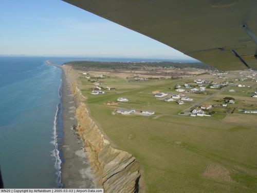 |
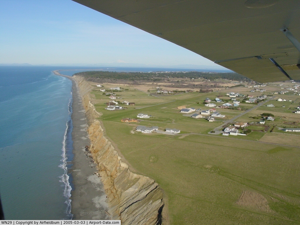
(Click on the photo to enlarge) |
Location & QuickFacts
| FAA Information Effective: | 2008-09-25 |
| Airport Identifier: | WN29 |
| Airport Status: | Operational |
| Longitude/Latitude: | 123-12-24.6490W/48-07-49.3330N
-123.206847/48.130370 (Estimated) |
| Elevation: | 100 ft / 30.48 m (Estimated) |
| Land: | 6 acres |
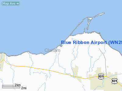
| From nearest city: | 5 nautical miles NW of Sequim, WA |
| Location: | Clallam County, WA |
| Magnetic Variation: | 21E (1985) |
Owner & Manager
| Ownership: | Privately owned |
| Owner: | Blue Ribbon Farms
PROPERTY OWNERS ASSN., INC. |
| Address: | 363 Greywolf Road
Sequim, WA 98382 |
| Phone number: | 360-681-5393 |
| Manager: | David Woodcock |
| Address: | 402 Greywolf Road
Sequim, WA 98382 |
| Phone number: | 360-681-5393 |
Airport Operations and Facilities
| Airport Use: | Private |
| Wind indicator: | Yes |
| Segmented Circle: | No |
| Control Tower: | No |
| Landing fee charge: | No |
| Sectional chart: | Seattle |
| Region: | ANM - Northwest Mountain |
| Boundary ARTCC: | ZSE - Seattle |
| Tie-in FSS: | SEA - Seattle |
| FSS on Airport: | No |
| FSS Toll Free: | 1-800-WX-BRIEF |
Runway Information
Runway 07/25
| Dimension: | 2360 x 60 ft / 719.3 x 18.3 m |
| Surface: | TURF, Good Condition |
| |
Runway 07 |
Runway 25 |
| Traffic Pattern: | Left | Left |
|
Radio Navigation Aids
| ID |
Type |
Name |
Ch |
Freq |
Var |
Dist |
| CL | NDB | Elwha | | 515.00 | 22E | 18.6 nm |
| OPZ | NDB | Lopez Island | | 356.00 | 21E | 23.9 nm |
| FHR | NDB | Friday Harbor | | 284.00 | 20E | 24.9 nm |
| YJ | NDB | Victoria | | 200.00 | 21E | 31.8 nm |
| MB | NDB | Mill Bay | | 293.00 | 21E | 35.1 nm |
| BVS | NDB | Skagit/bay View | | 240.00 | 21E | 37.5 nm |
| PWT | NDB | Kitsap | | 206.00 | 20E | 42.4 nm |
| AP | NDB | Active Pass | | 378.00 | 21E | 44.8 nm |
| CAN | NDB | Carney | | 274.00 | 20E | 45.7 nm |
| NUW | TACAN | Whidbey Island | 085X | | 21E | 25.7 nm |
| CVV | VOR/DME | Penn Cove | 119X | 117.20 | 19E | 20.5 nm |
| YYJ | VOR/DME | Victoria | 084X | 113.70 | 21E | 37.5 nm |
| PAE | VOR/DME | Paine | 043X | 110.60 | 20E | 39.4 nm |
Images and information placed above are from
http://www.airport-data.com/airport/WN29/
We thank them for the data!
| General Info
|
| Country |
United States
|
| State |
WASHINGTON
|
| FAA ID |
WN29
|
| Latitude |
48-07-49.333N
|
| Longitude |
123-12-24.649W
|
| Elevation |
100 feet
|
| Near City |
SEQUIM
|
We don't guarantee the information is fresh and accurate. The data may
be wrong or outdated.
For more up-to-date information please refer to other sources.
|
|