|
|
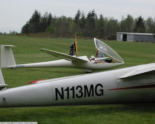 |
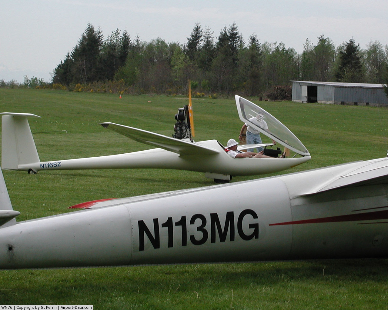
(Click on the photo to enlarge) |
Location & QuickFacts
| FAA Information Effective: | 2008-09-25 |
| Airport Identifier: | WN76 |
| Airport Status: | Operational |
| Longitude/Latitude: | 121-55-28.3940W/47-14-36.8660N
-121.924554/47.243574 (Estimated) |
| Elevation: | 1100 ft / 335.28 m (Estimated) |
| Land: | 90 acres |
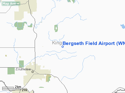
| From nearest city: | 4 nautical miles NE of Enumclaw, WA |
| Location: | King County, WA |
| Magnetic Variation: | 20E (1985) |
Owner & Manager
| Ownership: | Privately owned |
| Owner: | Venesta Bergseth |
| Address: | 31500 Se 408th
Enumclaw, WA 98022 |
| Phone number: | 206-825-2111 |
| Manager: | Mark G. Nelson, Jr. |
| Address: | 10014 Se 204th
Kent, WA 98031 |
| Phone number: | 206-852-7361 |
Airport Operations and Facilities
| Airport Use: | Private |
| Wind indicator: | Yes |
| Segmented Circle: | No |
| Control Tower: | No |
| Landing fee charge: | No |
| Sectional chart: | Seattle |
| Region: | ANM - Northwest Mountain |
| Boundary ARTCC: | ZSE - Seattle |
| Tie-in FSS: | SEA - Seattle |
| FSS Toll Free: | 1-800-WX-BRIEF |
Runway Information
Runway 10/28
| Dimension: | 2100 x 60 ft / 640.1 x 18.3 m |
| Surface: | TURF-DIRT, |
| |
Runway 10 |
Runway 28 |
| Traffic Pattern: | Left | Left |
| Obstruction: | 65 ft hill | 100 ft hill, 300.0 ft from runway |
|
Radio Navigation Aids
| ID |
Type |
Name |
Ch |
Freq |
Var |
Dist |
| ODD | NDB | Dondo | | 224.00 | 19E | 17.3 nm |
| RNT | NDB | Renton | | 353.00 | 20E | 19.2 nm |
| GR | NDB | Graye | | 216.00 | 18E | 28.3 nm |
| LAC | NDB | Lacomas | | 328.00 | 18E | 29.5 nm |
| PWT | NDB | Kitsap | | 206.00 | 20E | 37.0 nm |
| CAN | NDB | Carney | | 274.00 | 20E | 38.6 nm |
| MNC | NDB | Mason County | | 348.00 | 19E | 47.4 nm |
| PAE | VOR/DME | Paine | 043X | 110.60 | 20E | 43.1 nm |
| SEA | VORTAC | Seattle | 115X | 116.80 | 19E | 19.5 nm |
| TCM | VORTAC | Mcchord | 033X | 109.60 | 22E | 23.2 nm |
| OLM | VORTAC | Olympia | 081X | 113.40 | 19E | 43.2 nm |
| SEA | VOT | Seattle-tacoma | | 117.50 | | 19.5 nm |
| BFI | VOT | Boeing Field | | 108.60 | | 23.0 nm |
Remarks
Images and information placed above are from
http://www.airport-data.com/airport/WN76/
We thank them for the data!
| General Info
|
| Country |
United States
|
| State |
WASHINGTON
|
| FAA ID |
WN76
|
| Latitude |
47-14-36.866N
|
| Longitude |
121-55-28.394W
|
| Elevation |
1100 feet
|
| Near City |
ENUMCLAW
|
We don't guarantee the information is fresh and accurate. The data may
be wrong or outdated.
For more up-to-date information please refer to other sources.
|
|